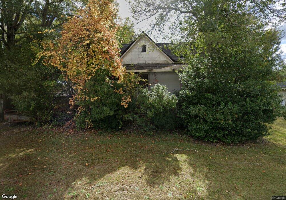
408 Broad St Warm Springs, GA 31830
Estimated Value: $56,661 - $154,000
3
Beds
1
Bath
1,472
Sq Ft
$67/Sq Ft
Est. Value
About This Home
This home is located at 408 Broad St, Warm Springs, GA 31830 and is currently estimated at $99,165, approximately $67 per square foot. 408 Broad St is a home with nearby schools including Mountain View Elementary School, Manchester Middle School, and Manchester High School.
Ownership History
Date
Name
Owned For
Owner Type
Purchase Details
Closed on
Aug 20, 2009
Sold by
Loggins Michael
Bought by
Loggins Kerry John
Current Estimated Value
Purchase Details
Closed on
Oct 19, 1993
Sold by
Loggins John W
Bought by
Loggins Michael D
Purchase Details
Closed on
Jan 1, 1992
Sold by
Pollard Floyd and Pollard Gena
Bought by
Loggins John W
Purchase Details
Closed on
Jan 1, 1982
Bought by
Pollard Floyd and Pollard Gena
Create a Home Valuation Report for This Property
The Home Valuation Report is an in-depth analysis detailing your home's value as well as a comparison with similar homes in the area
Home Values in the Area
Average Home Value in this Area
Purchase History
| Date | Buyer | Sale Price | Title Company |
|---|---|---|---|
| Loggins Kerry John | -- | -- | |
| Loggins Kerry John | -- | -- | |
| Loggins Michael D | -- | -- | |
| Loggins John W | $20,000 | -- | |
| Pollard Floyd | -- | -- |
Source: Public Records
Tax History Compared to Growth
Tax History
| Year | Tax Paid | Tax Assessment Tax Assessment Total Assessment is a certain percentage of the fair market value that is determined by local assessors to be the total taxable value of land and additions on the property. | Land | Improvement |
|---|---|---|---|---|
| 2024 | $537 | $11,720 | $3,920 | $7,800 |
| 2023 | $556 | $11,720 | $3,920 | $7,800 |
| 2022 | $556 | $11,720 | $3,920 | $7,800 |
| 2021 | $411 | $11,720 | $3,920 | $7,800 |
| 2020 | $414 | $11,720 | $3,920 | $7,800 |
| 2019 | $415 | $11,720 | $3,920 | $7,800 |
| 2018 | $419 | $11,720 | $3,920 | $7,800 |
| 2017 | $424 | $11,720 | $3,920 | $7,800 |
| 2016 | $386 | $11,720 | $3,920 | $7,800 |
| 2015 | $386 | $11,720 | $3,920 | $7,800 |
| 2014 | $386 | $11,720 | $3,920 | $7,800 |
| 2013 | -- | $11,720 | $3,920 | $7,800 |
Source: Public Records
Map
Nearby Homes
- 261 Green St
- 79 Minnie Mill Ln
- 116 Green St
- 146 ACRES Roosevelt Hwy
- 3688 Whitehouse Pkwy
- 75 ACRES Roosevelt Hwy
- 71 ACRES Roosevelt Hwy
- 0 Roosevelt Hwy Unit 10548840
- 243 Pine Knoll Dr
- 6622 Roosevelt Hwy
- 1425 River Rd
- 0 Whitehouse Pkwy Unit 10593573
- 1604 Judson Bulloch Rd
- 4162 Roosevelt Hwy
- 514 Phillips Rd
- 188 Hidden Lakes Rd
- 0 Phil Howe Rd Unit 10494213
- 7333 Roosevelt Hwy
- 7333 White House Pkwy
- 2385 Nebula Rd
- 400 Broad St
- 421 Broad St
- 378 Broad St
- 387 Broad St
- 362 Broad St
- 442 Broad St
- 44 Fisheries St
- 375 Main St
- 0 Fisheries St Unit LOT 1 3075032
- 0 Fisheries St Unit LOT 2 3075741
- 406 Main St
- 361 Broad St
- 354 Broad St
- 370 Main St
- 364 River Rd
- 348 River Rd
- 328 River Rd
- 333 Broad St
- 69 Oak Ave
- 0 Oak Ave Unit 8672182