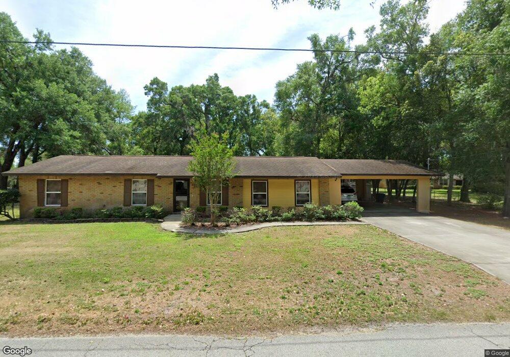
408 E Kentucky Ave Deland, FL 32724
North DeLand NeighborhoodEstimated Value: $258,000 - $281,000
3
Beds
2
Baths
1,868
Sq Ft
$144/Sq Ft
Est. Value
About This Home
This home is located at 408 E Kentucky Ave, Deland, FL 32724 and is currently estimated at $268,514, approximately $143 per square foot. 408 E Kentucky Ave is a home located in Volusia County with nearby schools including George W. Marks Elementary School, Deland High School, and Deland Middle School.
Ownership History
Date
Name
Owned For
Owner Type
Purchase Details
Closed on
May 3, 2013
Sold by
Mueller Daniel
Bought by
Tgbtg Inc
Current Estimated Value
Purchase Details
Closed on
Feb 1, 2011
Sold by
Westbrook Patsy K
Bought by
Beneficial Florida Inc
Purchase Details
Closed on
Jul 15, 1985
Bought by
Tgbtg Inc
Purchase Details
Closed on
Sep 15, 1980
Bought by
Tgbtg Inc
Purchase Details
Closed on
Jan 15, 1979
Bought by
Tgbtg Inc
Purchase Details
Closed on
Dec 15, 1976
Bought by
Tgbtg Inc
Create a Home Valuation Report for This Property
The Home Valuation Report is an in-depth analysis detailing your home's value as well as a comparison with similar homes in the area
Home Values in the Area
Average Home Value in this Area
Purchase History
| Date | Buyer | Sale Price | Title Company |
|---|---|---|---|
| Tgbtg Inc | -- | None Available | |
| Beneficial Florida Inc | -- | Attorney | |
| Tgbtg Inc | $100 | -- | |
| Tgbtg Inc | $45,000 | -- | |
| Tgbtg Inc | $35,000 | -- | |
| Tgbtg Inc | $1,000 | -- |
Source: Public Records
Tax History Compared to Growth
Tax History
| Year | Tax Paid | Tax Assessment Tax Assessment Total Assessment is a certain percentage of the fair market value that is determined by local assessors to be the total taxable value of land and additions on the property. | Land | Improvement |
|---|---|---|---|---|
| 2025 | $3,442 | $236,145 | $58,056 | $178,089 |
| 2024 | $3,442 | $239,554 | $58,056 | $181,498 |
| 2023 | $3,442 | $214,613 | $53,808 | $160,805 |
| 2022 | $3,208 | $196,215 | $53,808 | $142,407 |
| 2021 | $3,131 | $174,614 | $40,356 | $134,258 |
| 2020 | $2,862 | $155,400 | $35,400 | $120,000 |
| 2019 | $2,744 | $135,054 | $28,320 | $106,734 |
| 2018 | $2,541 | $118,285 | $18,408 | $99,877 |
| 2017 | $2,377 | $105,618 | $18,420 | $87,198 |
| 2016 | $2,165 | $100,053 | $0 | $0 |
| 2015 | $2,061 | $92,965 | $0 | $0 |
| 2014 | $1,832 | $75,578 | $0 | $0 |
Source: Public Records
Map
Nearby Homes
- 404 E Kentucky Ave
- 1207 N Amelia Ave
- 1408 N Garfield Ave
- 1301 N Amelia Ave
- 1412 N Garfield Ave
- 526 Cumberland Rd
- 516 Grace Ave
- 569 Parkdale Ct
- 205 E Kentucky Ave
- 528 Compton Ct
- 1307 Cook St
- 1 Smith Ct
- 930 N Amelia Ave
- 605 John Thomas Ave
- 104 E Rosehill Ave
- 0 North St Unit 1211817
- 0 North St Unit 1216611
- 1401 Hendren Dr
- 1410 Heather Glen Dr
- 325 E Plymouth Ave
- 412 E Kentucky Ave
- 406 E Kentucky Ave
- 409 E Kentucky Ave
- 411 E Kentucky Ave
- 1202 N Garfield Ave
- 413 E Kentucky Ave
- 1245 N Garfield Ave
- 1402 N Garfield Ave
- 504 Oakridge Ave
- 1200 N Garfield Ave
- 1217 N Cambridge St
- 402 E Kentucky Ave
- 495 Oakridge Ave
- 522 E Kentucky Ave
- 503 Cumberland Rd
- 1215 N Cambridge St
- 1406 N Garfield Ave
- 1201 N Garfield Ave
- 470 Palm Terrace