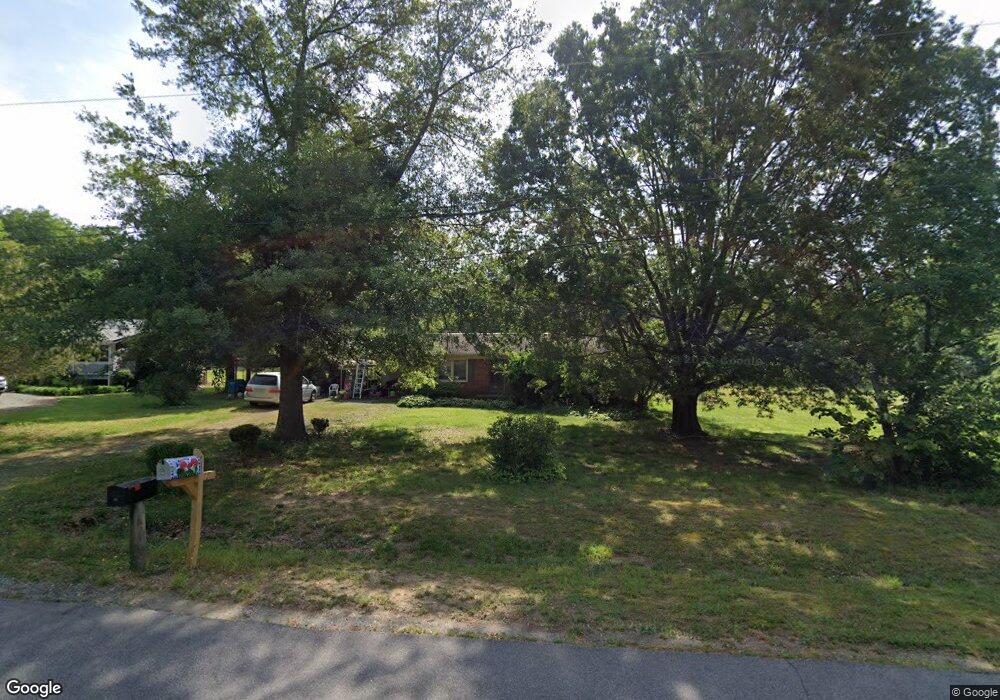
408 Farmbrook Dr Denton, NC 27239
Estimated Value: $194,559 - $246,000
3
Beds
2
Baths
1,407
Sq Ft
$157/Sq Ft
Est. Value
About This Home
This home is located at 408 Farmbrook Dr, Denton, NC 27239 and is currently estimated at $221,390, approximately $157 per square foot. 408 Farmbrook Dr is a home located in Davidson County with nearby schools including Denton Elementary School and South Davidson Middle and High School.
Ownership History
Date
Name
Owned For
Owner Type
Purchase Details
Closed on
Feb 13, 2013
Sold by
Jernigan Billy D and Roosevelt Jernigan Trust
Bought by
Boggs Lauren E
Current Estimated Value
Home Financials for this Owner
Home Financials are based on the most recent Mortgage that was taken out on this home.
Original Mortgage
$28,000
Outstanding Balance
$18,966
Interest Rate
2.75%
Mortgage Type
Adjustable Rate Mortgage/ARM
Estimated Equity
$202,424
Purchase Details
Closed on
Aug 24, 2004
Bought by
Jernigan Roosevelt Trustee
Purchase Details
Closed on
Mar 1, 1978
Create a Home Valuation Report for This Property
The Home Valuation Report is an in-depth analysis detailing your home's value as well as a comparison with similar homes in the area
Purchase History
| Date | Buyer | Sale Price | Title Company |
|---|---|---|---|
| Boggs Lauren E | $35,000 | None Available | |
| Jernigan Roosevelt Trustee | -- | -- | |
| -- | $3,000 | -- |
Source: Public Records
Mortgage History
| Date | Status | Borrower | Loan Amount |
|---|---|---|---|
| Open | Boggs Lauren E | $28,000 |
Source: Public Records
Tax History
| Year | Tax Paid | Tax Assessment Tax Assessment Total Assessment is a certain percentage of the fair market value that is determined by local assessors to be the total taxable value of land and additions on the property. | Land | Improvement |
|---|---|---|---|---|
| 2025 | $1,357 | $120,840 | $0 | $0 |
| 2024 | $1,357 | $120,840 | $0 | $0 |
| 2023 | $1,357 | $120,840 | $0 | $0 |
| 2022 | $1,357 | $120,840 | $0 | $0 |
| 2021 | $1,357 | $120,840 | $0 | $0 |
| 2020 | $849 | $75,640 | $0 | $0 |
| 2019 | $862 | $75,640 | $0 | $0 |
| 2018 | $862 | $75,640 | $0 | $0 |
| 2017 | $862 | $75,580 | $0 | $0 |
| 2016 | $862 | $75,580 | $0 | $0 |
| 2015 | $824 | $75,580 | $0 | $0 |
| 2014 | $858 | $78,710 | $0 | $0 |
Source: Public Records
Map
Nearby Homes
- 108 N Bingham St
- 242 Sturdivant Rd
- 532 N Main St
- 148 Garner St
- 178 E Salisbury St
- 952 Flat Swamp Rd
- 166 S Main St
- 0 Jones St
- 165 Brown St
- 61 Haywood St
- 149 Seeley Dr
- 17980 S Nc Highway 109
- 354 Anderson St
- 398 E Salisbury St
- 141 W Noell Ave
- 434 E Salisbury St
- 320 Forest Park Dr
- 278 Forest Park Dr
- 187 Eastside Dr
- 0000 Bombay Rd
- 428 Farmbrook Dr
- 21 Meadowdale Dr
- 16 Knollwood Dr
- 0 Knollwood Dr Unit 110
- 0 Knollwood Dr Unit 854229
- 352 Farmbrook Dr
- 41 Meadowdale Dr
- 106 Knollwood Dr
- 10 Meadowdale Dr
- 28 Meadowdale Dr
- 59 Meadowdale Dr
- 316 Farmbrook Dr
- 46 Meadowdale Dr
- 33 Knollwood Dr
- 77 Meadowdale Dr
- 72 Knollwood Dr
- 62 Meadowdale Dr
- 297 Farmbrook Dr
- 297 Farmbrook Dr
- 90 Knollwood Dr
Your Personal Tour Guide
Ask me questions while you tour the home.