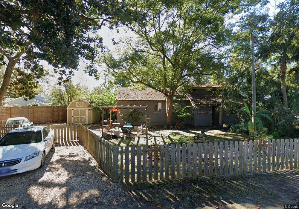
408 Kelsall Ave Saint Simons Island, GA 31522
Estimated Value: $571,000 - $814,000
2
Beds
2
Baths
1,556
Sq Ft
$463/Sq Ft
Est. Value
About This Home
This home is located at 408 Kelsall Ave, Saint Simons Island, GA 31522 and is currently estimated at $720,848, approximately $463 per square foot. 408 Kelsall Ave is a home located in Glynn County with nearby schools including St. Simons Elementary School, Glynn Middle School, and Glynn Academy.
Ownership History
Date
Name
Owned For
Owner Type
Purchase Details
Closed on
Jun 14, 2012
Sold by
Nasuti Albert F
Bought by
Smeal Lucia N
Current Estimated Value
Home Financials for this Owner
Home Financials are based on the most recent Mortgage that was taken out on this home.
Original Mortgage
$180,000
Outstanding Balance
$124,746
Interest Rate
3.83%
Mortgage Type
New Conventional
Estimated Equity
$596,102
Create a Home Valuation Report for This Property
The Home Valuation Report is an in-depth analysis detailing your home's value as well as a comparison with similar homes in the area
Home Values in the Area
Average Home Value in this Area
Purchase History
| Date | Buyer | Sale Price | Title Company |
|---|---|---|---|
| Smeal Lucia N | $153,333 | -- |
Source: Public Records
Mortgage History
| Date | Status | Borrower | Loan Amount |
|---|---|---|---|
| Open | Smeal Lucia N | $180,000 |
Source: Public Records
Tax History Compared to Growth
Tax History
| Year | Tax Paid | Tax Assessment Tax Assessment Total Assessment is a certain percentage of the fair market value that is determined by local assessors to be the total taxable value of land and additions on the property. | Land | Improvement |
|---|---|---|---|---|
| 2025 | $6,548 | $261,080 | $200,000 | $61,080 |
| 2024 | $5,448 | $217,240 | $171,120 | $46,120 |
| 2023 | $2,172 | $217,240 | $171,120 | $46,120 |
| 2022 | $2,604 | $183,000 | $136,880 | $46,120 |
| 2021 | $2,682 | $147,960 | $102,680 | $45,280 |
| 2020 | $2,704 | $106,880 | $61,600 | $45,280 |
| 2019 | $2,916 | $106,880 | $61,600 | $45,280 |
| 2018 | $2,916 | $106,880 | $61,600 | $45,280 |
| 2017 | $2,916 | $106,880 | $61,600 | $45,280 |
| 2016 | $2,404 | $94,960 | $61,600 | $33,360 |
| 2015 | $2,120 | $82,800 | $61,600 | $21,200 |
| 2014 | $2,120 | $82,800 | $61,600 | $21,200 |
Source: Public Records
Map
Nearby Homes
- 409 Kelsall Ave
- 413 Ashantilly Ave
- 907 Mallery St
- 1000 Mallery Street Extension Unit B5
- 1000 Mallery Street Extension Unit G62
- 601 Shore Edge Trace
- 600 Shore Edge Trace
- 600 Shore Edge Trc
- 919 Mallery St
- 209 Sandcastle Way
- 805 Mallery St Unit E
- 850 Mallery St Unit 6N
- 850 Mallery St Unit 8K
- 850 Mallery St Unit 6A
- 850 Mallery St Unit 4W
- 850 Mallery St Unit S 3
- 850 Mallery St Unit 4O
- 850 Mallery St Unit 13Q
- 850 Mallery St Unit 9W
- 800 Mallery St Unit 52
- 406 Kelsall Ave
- 509 Ashantilly Ave
- 507 Ashantilly Ave
- 411 Kelsall Ave
- 404 Kelsall Ave
- 413 Kelsall Ave
- 505 Ashantilly Ave
- 402 Kelsall
- 512 Ashantilly Ave
- 514 Ashantilly Ave
- 407 Kelsall Ave
- 402 Kelsall Ave
- 405 Kelsall Ave
- 510 Ashantilly Ave
- 503 Ashantilly Ave
- 308 Sandcastle Ln
- 403 Kelsall Ave
- 306 Sandcastle Ln
- 400 Kelsall Ave
- 308 Sand Castle Ln