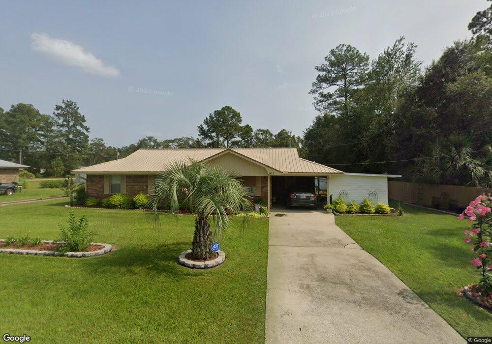
408 Pine St Screven, GA 31560
Estimated Value: $124,000 - $164,000
3
Beds
1
Bath
1,025
Sq Ft
$143/Sq Ft
Est. Value
About This Home
This home is located at 408 Pine St, Screven, GA 31560 and is currently estimated at $146,225, approximately $142 per square foot. 408 Pine St is a home located in Wayne County with nearby schools including Screven Elementary School, Arthur Williams Middle School, and Wayne County High School.
Ownership History
Date
Name
Owned For
Owner Type
Purchase Details
Closed on
Nov 20, 2009
Sold by
Dukes Paula
Bought by
Stanfield Neil C and Stanfield Ada Ruth
Current Estimated Value
Purchase Details
Closed on
May 30, 2007
Sold by
Wainscott Geraldine E
Bought by
Dukes Paula
Purchase Details
Closed on
Jan 24, 2007
Sold by
Stanfield Neil C
Bought by
Dukes Paula and Dukes Wainscott Geraldine
Purchase Details
Closed on
Dec 1, 1997
Purchase Details
Closed on
Mar 1, 1997
Purchase Details
Closed on
Sep 1, 1989
Purchase Details
Closed on
Mar 1, 1983
Create a Home Valuation Report for This Property
The Home Valuation Report is an in-depth analysis detailing your home's value as well as a comparison with similar homes in the area
Home Values in the Area
Average Home Value in this Area
Purchase History
| Date | Buyer | Sale Price | Title Company |
|---|---|---|---|
| Stanfield Neil C | $60,000 | -- | |
| Dukes Paula | -- | -- | |
| Dukes Paula | -- | -- | |
| -- | -- | -- | |
| -- | $24,500 | -- | |
| -- | -- | -- | |
| -- | -- | -- | |
| -- | $36,000 | -- |
Source: Public Records
Tax History Compared to Growth
Tax History
| Year | Tax Paid | Tax Assessment Tax Assessment Total Assessment is a certain percentage of the fair market value that is determined by local assessors to be the total taxable value of land and additions on the property. | Land | Improvement |
|---|---|---|---|---|
| 2024 | $547 | $37,772 | $1,792 | $35,980 |
| 2023 | $822 | $23,508 | $1,792 | $21,716 |
| 2022 | $276 | $23,508 | $1,792 | $21,716 |
| 2021 | $301 | $23,508 | $1,792 | $21,716 |
| 2020 | $313 | $23,508 | $1,792 | $21,716 |
| 2019 | $332 | $23,508 | $1,792 | $21,716 |
| 2018 | $332 | $23,508 | $1,792 | $21,716 |
| 2017 | $239 | $23,508 | $1,792 | $21,716 |
| 2016 | $221 | $23,508 | $1,792 | $21,716 |
| 2014 | $220 | $23,508 | $1,792 | $21,716 |
| 2013 | -- | $23,507 | $1,792 | $21,715 |
Source: Public Records
Map
Nearby Homes
- 109 Joyner St
- 406 Cw Collins St
- 107 Gaffney St
- 301 Whitaker Dr
- 868 Broadhurst Rd W
- 102 Highsmith Ave
- 0 S Forks Rd
- 391 S Forks Rd
- 0 Dale Mill Rd
- 9009 Waycross Hwy
- 59 Enoch Moody Rd
- 88 Minnesota Rd
- 7132 Waycross Hwy
- 7114 Waycross Hwy
- 7014 Waycross Hwy
- 362 Crosby Ln
- 301 Broadhurst Rd
- 2460 Thornton Rd
- 6005 Chancey Rd
- 0 Rogers Break Unit 1656131