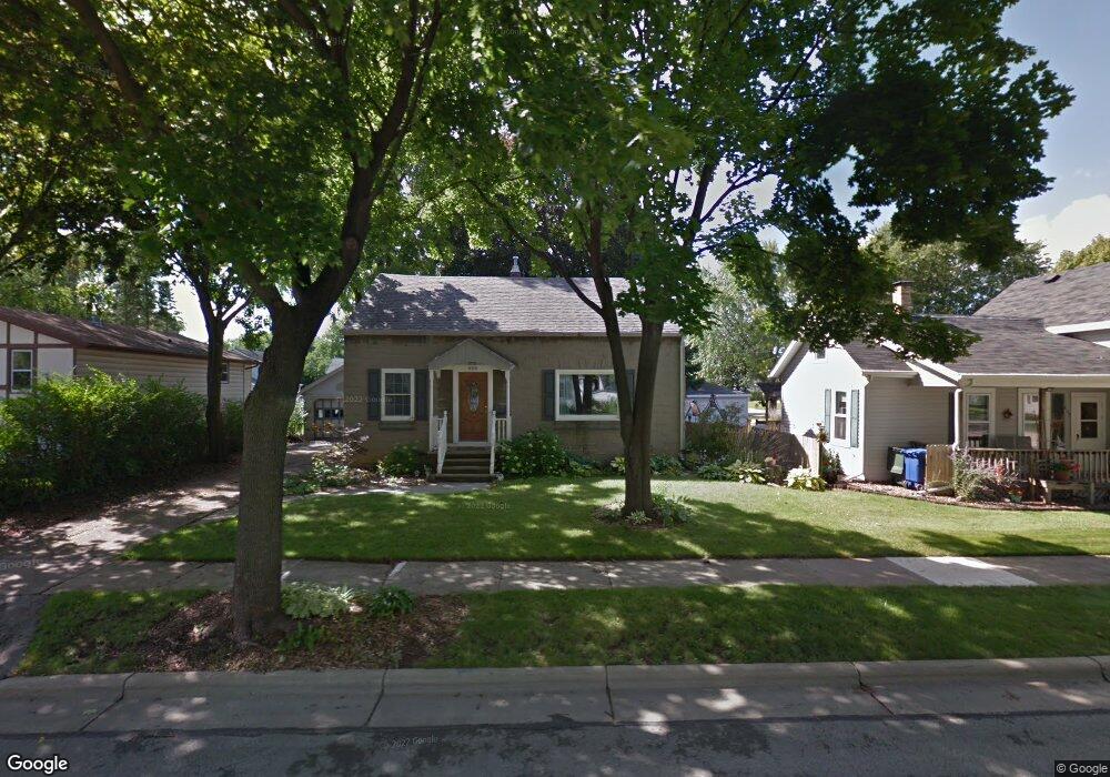
408 S Huron St de Pere, WI 54115
Estimated Value: $269,109 - $293,000
3
Beds
1
Bath
1,960
Sq Ft
$141/Sq Ft
Est. Value
About This Home
This home is located at 408 S Huron St, de Pere, WI 54115 and is currently estimated at $276,527, approximately $141 per square foot. 408 S Huron St is a home located in Brown County with nearby schools including Dickinson Elementary School, Foxview Intermediate School, and De Pere Middle School.
Ownership History
Date
Name
Owned For
Owner Type
Purchase Details
Closed on
May 7, 2010
Sold by
Wegner Jason P and Wegner Tara L
Bought by
Campbell Richard P and Campbell Katie A
Current Estimated Value
Home Financials for this Owner
Home Financials are based on the most recent Mortgage that was taken out on this home.
Original Mortgage
$127,546
Outstanding Balance
$84,341
Interest Rate
5.25%
Mortgage Type
FHA
Estimated Equity
$192,186
Create a Home Valuation Report for This Property
The Home Valuation Report is an in-depth analysis detailing your home's value as well as a comparison with similar homes in the area
Home Values in the Area
Average Home Value in this Area
Purchase History
| Date | Buyer | Sale Price | Title Company |
|---|---|---|---|
| Campbell Richard P | $129,900 | Title Revolution Llc |
Source: Public Records
Mortgage History
| Date | Status | Borrower | Loan Amount |
|---|---|---|---|
| Open | Campbell Richard P | $127,546 |
Source: Public Records
Tax History
| Year | Tax Paid | Tax Assessment Tax Assessment Total Assessment is a certain percentage of the fair market value that is determined by local assessors to be the total taxable value of land and additions on the property. | Land | Improvement |
|---|---|---|---|---|
| 2025 | $3,535 | $254,700 | $25,400 | $229,300 |
| 2024 | $3,263 | $233,700 | $24,100 | $209,600 |
| 2023 | $2,950 | $220,100 | $24,100 | $196,000 |
| 2022 | $2,751 | $194,500 | $24,100 | $170,400 |
| 2021 | $2,574 | $172,600 | $20,100 | $152,500 |
| 2020 | $2,662 | $162,200 | $20,100 | $142,100 |
| 2019 | $2,658 | $149,900 | $20,100 | $129,800 |
| 2018 | $2,726 | $140,100 | $20,100 | $120,000 |
| 2017 | $2,496 | $124,400 | $20,100 | $104,300 |
| 2016 | $2,527 | $124,400 | $20,100 | $104,300 |
| 2015 | $2,560 | $118,400 | $20,200 | $98,200 |
| 2014 | $2,482 | $118,400 | $20,200 | $98,200 |
| 2013 | $2,482 | $118,400 | $20,200 | $98,200 |
Source: Public Records
Map
Nearby Homes
- 308 S Superior St
- 416 Lansdowne St
- 389 Willie Mays Cir
- 400 Battery Ave
- 318 S Webster Ave
- 801 S Erie St
- 115 S Washington St
- 1861 Chicago St
- 253 Scout Way
- 816 Ridgeway Blvd
- 417 Fulton St
- 808 Ridgeway Blvd
- 1326 S Summer Range Rd
- 1421 Ridgeway Dr Unit 1423
- 814 3rd St
- 1208 S Erie St
- 555 Main Ave Unit 111
- 555 Main Ave Unit 206
- 1871 Ledgeview Rd
- 124 Shelley Ln
- 402 S Huron St
- 414 S Huron St
- 420 S Huron St
- 407 S Superior St
- 403 S Superior St
- 415 S Superior St
- 409 S Huron St
- 426 S Huron St
- 421 S Superior St
- 338 S Huron St Unit B
- 421 S Huron St
- 403 S Huron St
- 415 S Huron St
- 419 S Huron St Unit 421
- 341 S Superior St
- 427 S Superior St
- 332 S Huron St
- 432 S Huron St
- 339 S Huron St
- 427 S Huron St
Your Personal Tour Guide
Ask me questions while you tour the home.