Estimated Value: $177,742 - $214,000
3
Beds
2
Baths
1,472
Sq Ft
$137/Sq Ft
Est. Value
About This Home
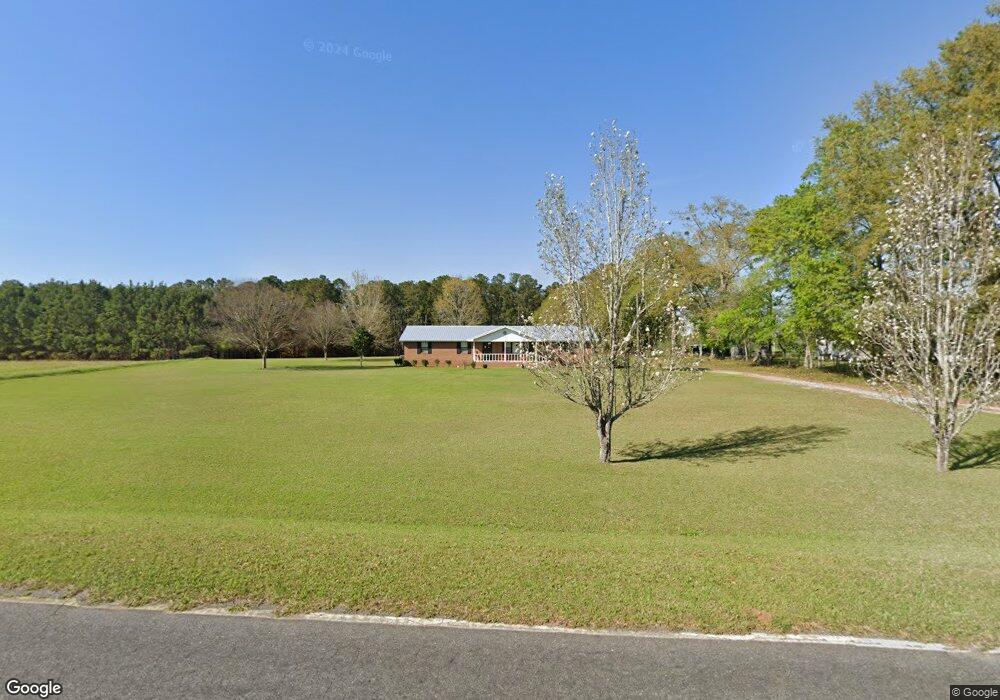
This home is located at 408 Wight Rd, Cairo, GA 39828 and is currently estimated at $201,186, approximately $136 per square foot. 408 Wight Rd is a home located in Grady County with nearby schools including Cairo High School.
Ownership History
Date
Name
Owned For
Owner Type
Purchase Details
Closed on
May 28, 2009
Sold by
Bishop Marvin Lavon
Bought by
Hines Renita D
Current Estimated Value
Home Financials for this Owner
Home Financials are based on the most recent Mortgage that was taken out on this home.
Original Mortgage
$99,367
Outstanding Balance
$61,145
Interest Rate
4.77%
Mortgage Type
FHA
Estimated Equity
$140,041
Purchase Details
Closed on
Dec 29, 2005
Sold by
Bishop M Lavon
Bought by
Bishop M Lavon and Bishop Joane M
Purchase Details
Closed on
Mar 13, 1980
Bought by
Bishop Marvin H
Create a Home Valuation Report for This Property
The Home Valuation Report is an in-depth analysis detailing your home's value as well as a comparison with similar homes in the area
Purchase History
| Date | Buyer | Sale Price | Title Company |
|---|---|---|---|
| Hines Renita D | $101,200 | -- | |
| Bishop M Lavon | -- | -- | |
| Bishop M Lavon | -- | -- | |
| Bishop Marvin H | $6,600 | -- |
Source: Public Records
Mortgage History
| Date | Status | Borrower | Loan Amount |
|---|---|---|---|
| Open | Hines Renita D | $99,367 |
Source: Public Records
Tax History
| Year | Tax Paid | Tax Assessment Tax Assessment Total Assessment is a certain percentage of the fair market value that is determined by local assessors to be the total taxable value of land and additions on the property. | Land | Improvement |
|---|---|---|---|---|
| 2025 | $1,380 | $71,718 | $10,654 | $61,064 |
| 2024 | $1,380 | $58,446 | $10,654 | $47,792 |
| 2023 | $1,174 | $40,142 | $4,210 | $35,932 |
| 2022 | $1,186 | $40,542 | $4,210 | $36,332 |
| 2021 | $1,190 | $40,542 | $4,210 | $36,332 |
| 2020 | $1,194 | $40,542 | $4,210 | $36,332 |
| 2019 | $1,194 | $40,542 | $4,210 | $36,332 |
| 2018 | $1,121 | $40,542 | $4,210 | $36,332 |
| 2017 | $1,067 | $40,542 | $4,210 | $36,332 |
| 2016 | $913 | $34,796 | $4,210 | $30,586 |
| 2015 | $902 | $34,796 | $4,210 | $30,586 |
| 2014 | $904 | $34,796 | $4,210 | $30,586 |
| 2013 | -- | $33,658 | $5,886 | $27,772 |
Source: Public Records
Map
Nearby Homes
- 000 1st Ave SW
- 0 Georgia 111
- 320 8th St SW
- 1327 Rest St SW
- 00 Lake Douglas
- Lot 27 W Lake Dr
- 1137 Summerfield
- 117 SW Pine Cirlce
- 460 2nd St SW
- 112 Pine Cir SW
- 0 Upper Hawthorne Trail
- 00 10th Avenue N W
- 1382 Lake Front Dr
- 1293 McQuaig St NW
- 1296 McQuaig St NW
- 0 McQuaig St NW
- 000 S Broad St
- 1193 S Broad St
- X 1st St
- 0 1st St
- 338 Wight Rd
- 205 Azalea Ln
- 306 Wight Rd
- 288 Wight Rd
- 2273 Collins Rd
- 238 Perrys Rd
- 184 Azalea Ln
- 165 Azalea Ln
- 227 Perrys Rd
- 190 Perrys Rd
- 170 Azalea Ln
- 154 Azalea Ln
- 135 Azalea Ln
- 2163 Collins Rd
- 2061 Collins Rd
- 2257 Collins Rd
- 532 Wight Rd
- 2113 Collins Rd
- 1516 Upper Hawthorne Trail
- 1514 Upper Hawthorne Trail
Your Personal Tour Guide
Ask me questions while you tour the home.