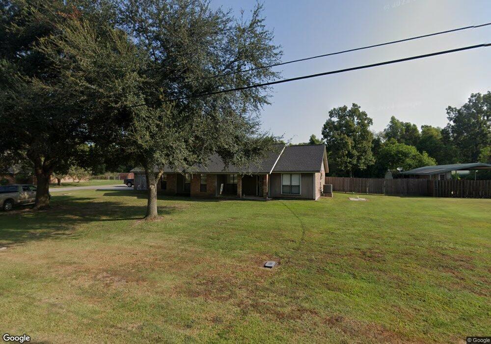
4080 Emily Dr Port Allen, LA 70767
West Baton Rouge Parish NeighborhoodEstimated Value: $303,000 - $387,000
3
Beds
2
Baths
2,083
Sq Ft
$168/Sq Ft
Est. Value
About This Home
This home is located at 4080 Emily Dr, Port Allen, LA 70767 and is currently estimated at $348,961, approximately $167 per square foot. 4080 Emily Dr is a home located in West Baton Rouge Parish with nearby schools including Brusly Elementary School, Lukeville Upper Elementary School, and Brusly Middle School.
Ownership History
Date
Name
Owned For
Owner Type
Purchase Details
Closed on
Aug 12, 2011
Sold by
Sharp Steve Ogden and Sharp Suzanne Carter
Bought by
Sarradet Jeffrey P and Sarradet Carrie S
Current Estimated Value
Home Financials for this Owner
Home Financials are based on the most recent Mortgage that was taken out on this home.
Original Mortgage
$229,837
Outstanding Balance
$158,914
Interest Rate
4.54%
Mortgage Type
VA
Estimated Equity
$190,047
Create a Home Valuation Report for This Property
The Home Valuation Report is an in-depth analysis detailing your home's value as well as a comparison with similar homes in the area
Home Values in the Area
Average Home Value in this Area
Purchase History
| Date | Buyer | Sale Price | Title Company |
|---|---|---|---|
| Sarradet Jeffrey P | $225,000 | Grand Title Company Inc |
Source: Public Records
Mortgage History
| Date | Status | Borrower | Loan Amount |
|---|---|---|---|
| Open | Sarradet Jeffrey P | $229,837 |
Source: Public Records
Tax History Compared to Growth
Tax History
| Year | Tax Paid | Tax Assessment Tax Assessment Total Assessment is a certain percentage of the fair market value that is determined by local assessors to be the total taxable value of land and additions on the property. | Land | Improvement |
|---|---|---|---|---|
| 2024 | $1,979 | $27,930 | $7,000 | $20,930 |
| 2023 | $1,611 | $23,010 | $5,850 | $17,160 |
| 2022 | $2,413 | $23,010 | $5,850 | $17,160 |
| 2021 | $2,468 | $23,010 | $5,850 | $17,160 |
| 2020 | $2,243 | $20,710 | $5,270 | $15,440 |
| 2019 | $2,149 | $19,050 | $3,440 | $15,610 |
| 2018 | $2,188 | $19,050 | $3,440 | $15,610 |
| 2017 | $2,021 | $19,050 | $3,440 | $15,610 |
| 2015 | $1,609 | $18,730 | $3,120 | $15,610 |
| 2014 | $1,583 | $18,730 | $3,120 | $15,610 |
| 2013 | $1,519 | $17,980 | $3,120 | $14,860 |
Source: Public Records
Map
Nearby Homes
- 3200 Orleans Quarters Dr
- 2824 Live Oak Dr
- 2820 Live Oak Dr
- 2805 Live Oak Dr
- 2821 Live Oak Dr
- 2809 Live Oak Dr
- 2382 Ory Dr
- 2209 Live Oak Dr
- 2742 Emily Dr
- 6423 Choctaw Rd
- 2488 Oak Alley Dr
- 4123 Choctaw Rd
- 6455 Louisiana 1
- 6312 Louisiana 1
- 4747 Evergreen Dr
- 2217 Silverstone Ave
- 2218 Silverstone Ave
- 4964 Trinity Dr
- 4962 Trinity Dr
- 4958 Trinity Dr