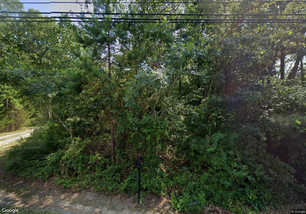
4080 Reega Ave Mays Landing, NJ 08330
Estimated Value: $231,000 - $435,360
--
Bed
--
Bath
2,224
Sq Ft
$162/Sq Ft
Est. Value
About This Home
This home is located at 4080 Reega Ave, Mays Landing, NJ 08330 and is currently estimated at $360,787, approximately $162 per square foot. 4080 Reega Ave is a home located in Atlantic County with nearby schools including George L. Hess Educational Complex, Joseph Shaner School, and William Davies Middle School.
Ownership History
Date
Name
Owned For
Owner Type
Purchase Details
Closed on
Mar 13, 2001
Sold by
Bazard Shannon
Bought by
Campbell Louis
Current Estimated Value
Purchase Details
Closed on
Jan 14, 1997
Sold by
Gross Daniel G
Bought by
Campbell Louis C and Bazard Shannon
Home Financials for this Owner
Home Financials are based on the most recent Mortgage that was taken out on this home.
Original Mortgage
$113,906
Interest Rate
7.36%
Mortgage Type
FHA
Purchase Details
Closed on
May 26, 1995
Sold by
Gross Daniel G
Bought by
Gross Daniel G
Purchase Details
Closed on
Mar 16, 1995
Sold by
Garbutt Ronald S and Garbutt Dolores A
Bought by
Gross Daniel
Create a Home Valuation Report for This Property
The Home Valuation Report is an in-depth analysis detailing your home's value as well as a comparison with similar homes in the area
Home Values in the Area
Average Home Value in this Area
Purchase History
| Date | Buyer | Sale Price | Title Company |
|---|---|---|---|
| Campbell Louis | -- | -- | |
| Campbell Louis C | $114,000 | -- | |
| Gross Daniel G | -- | -- | |
| Gross Daniel | $20,000 | Congress Title Corporation | |
| Garbutt Ronald | $20,000 | -- |
Source: Public Records
Mortgage History
| Date | Status | Borrower | Loan Amount |
|---|---|---|---|
| Previous Owner | Campbell Louis C | $113,906 |
Source: Public Records
Tax History Compared to Growth
Tax History
| Year | Tax Paid | Tax Assessment Tax Assessment Total Assessment is a certain percentage of the fair market value that is determined by local assessors to be the total taxable value of land and additions on the property. | Land | Improvement |
|---|---|---|---|---|
| 2025 | $7,504 | $218,700 | $40,900 | $177,800 |
| 2024 | $7,504 | $218,700 | $40,900 | $177,800 |
| 2023 | $7,055 | $218,700 | $40,900 | $177,800 |
| 2022 | $7,055 | $218,700 | $40,900 | $177,800 |
| 2021 | $7,040 | $218,700 | $40,900 | $177,800 |
| 2020 | $7,040 | $218,700 | $40,900 | $177,800 |
| 2019 | $7,057 | $218,700 | $40,900 | $177,800 |
| 2018 | $6,810 | $218,700 | $40,900 | $177,800 |
| 2017 | $6,703 | $218,700 | $40,900 | $177,800 |
| 2016 | $6,515 | $218,700 | $40,900 | $177,800 |
| 2015 | $6,294 | $218,700 | $40,900 | $177,800 |
| 2014 | $6,155 | $234,300 | $46,100 | $188,200 |
Source: Public Records
Map
Nearby Homes
- 3 Pin Oak Dr
- 68 Northridge Dr
- 3 Atlas Lane Rd
- 28 Meadow Cir
- 200 Booker Ave
- 3 Knollwood Dr
- 85 Knollwood Dr Unit 85
- 35 Knollwood Dr
- 134 Glen Eagles Ct
- 72 Knollwood Dr
- 6035 W Jersey Ave
- 154 Muirfield Ct
- 218 Burning Tree Ct
- 156 Muirfield Ct
- 66 Knollwood Dr
- 165 Turnberry Ct
- 303 Springfield Ave
- 197 Pebble Beach Dr
- 277 Greenbriar Ct
- 110 Leo Ave
- 1210 Grand Ave
- 0 Galleria Dr Unit 1000369177
- 0 Galleria Dr Unit 1000369105
- 0 Galleria Dr Unit 1000369271
- 0 Galleria Dr Unit 1000369227
- 0 Galleria Dr Unit 1000369253
- 0 Galleria Dr Unit BELMON 1007442580
- 0 Galleria Dr Unit LAUREL 1007426740
- 0 Galleria Dr Unit LEGACY 1007411972
- 0 Galleria Dr Unit DEVON 1007409168
- 0 Galleria Dr Unit ABNGTN 1007409118
- 0 Galleria Dr Unit BELMNT 1007409090
- 0 Galleria Dr Unit 443578
- 0 Galleria Dr Unit 443579
- 0 Galleria Dr Unit 443577
- 0 Galleria Dr Unit 443575
- 0 Galleria Dr Unit 445524
- 0 Galleria Dr Unit 453688
- 0 Galleria Dr Unit 464487
- 0 Galleria Dr Unit 6907982
