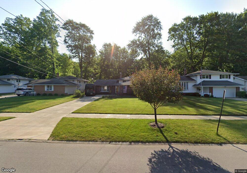
4081 Brendan Ln North Olmsted, OH 44070
Estimated Value: $300,287 - $333,000
3
Beds
2
Baths
1,928
Sq Ft
$163/Sq Ft
Est. Value
About This Home
This home is located at 4081 Brendan Ln, North Olmsted, OH 44070 and is currently estimated at $313,322, approximately $162 per square foot. 4081 Brendan Ln is a home located in Cuyahoga County with nearby schools including Maple Intermediate Elementary School, Pine Intermediate School, and North Olmsted Middle School.
Ownership History
Date
Name
Owned For
Owner Type
Purchase Details
Closed on
Sep 24, 2025
Sold by
Budinger Gary Emil and Budinger Nora
Bought by
Gary E Budinger Trust and Budinger
Current Estimated Value
Purchase Details
Closed on
Dec 12, 1980
Sold by
Grittner Patricia L
Bought by
Budinger Gary E
Purchase Details
Closed on
Oct 16, 1975
Sold by
Conway Michael M and Conway Charlene
Bought by
Grittner Patricia L
Purchase Details
Closed on
Jan 1, 1975
Bought by
Conway Michael M and Conway Charlene
Create a Home Valuation Report for This Property
The Home Valuation Report is an in-depth analysis detailing your home's value as well as a comparison with similar homes in the area
Home Values in the Area
Average Home Value in this Area
Purchase History
| Date | Buyer | Sale Price | Title Company |
|---|---|---|---|
| Gary E Budinger Trust | -- | None Listed On Document | |
| Budinger Gary E | $73,000 | -- | |
| Grittner Patricia L | $52,000 | -- | |
| Conway Michael M | -- | -- |
Source: Public Records
Tax History Compared to Growth
Tax History
| Year | Tax Paid | Tax Assessment Tax Assessment Total Assessment is a certain percentage of the fair market value that is determined by local assessors to be the total taxable value of land and additions on the property. | Land | Improvement |
|---|---|---|---|---|
| 2024 | $5,972 | $87,150 | $16,170 | $70,980 |
| 2023 | $5,443 | $66,640 | $14,910 | $51,730 |
| 2022 | $5,414 | $66,640 | $14,910 | $51,730 |
| 2021 | $4,900 | $66,640 | $14,910 | $51,730 |
| 2020 | $4,497 | $54,180 | $12,110 | $42,070 |
| 2019 | $4,377 | $154,800 | $34,600 | $120,200 |
| 2018 | $4,439 | $54,180 | $12,110 | $42,070 |
| 2017 | $4,212 | $47,330 | $9,980 | $37,350 |
| 2016 | $4,176 | $47,330 | $9,980 | $37,350 |
| 2015 | $4,115 | $47,330 | $9,980 | $37,350 |
| 2014 | $4,115 | $46,380 | $9,770 | $36,610 |
Source: Public Records
Map
Nearby Homes
- 4505 Oak Cir
- 4590 Brendan Ln
- 4666 Brendan Cir
- 22534 Bard Ave
- 22503 Sandy Ln
- 23993 Fairlawn Dr
- 22506 Sharon Ln
- 4514 Orchard Rd
- 22934 Mastick Rd Unit 102
- 3463 Clague Rd
- 22537 Lenox Dr
- 4849 Grace Rd Unit 121
- 23245 Woodview Dr
- 22895 Mastick Rd
- 22976 Maple Ridge Rd Unit B 105
- 22968 Maple Ridge Rd Unit 103
- 4187 Columbia Rd Unit 126
- 22247 Mastick Rd
- 4464 W 224th St
- 22958 Maple Ridge Rd Unit 101A
- 4093 Brendan Ln
- 4069 Brendan Ln
- 4105 Brendan Ln
- 4057 Brendan Ln
- 4045 Brendan Ln
- 4119 Brendan Ln
- 4072 Brendan Ln
- 4084 Brendan Ln
- 4096 Brendan Ln
- 4060 Brendan Ln
- 4031 Brendan Ln
- 4131 Brendan Ln
- 4108 Brendan Ln
- 4143 Brendan Ln
- 4015 Brendan Ln
- 23465 David Dr
- 23474 Cedarwood Ln
- 4134 Brendan Ln
- 4155 Brendan Ln
- 23483 David Dr