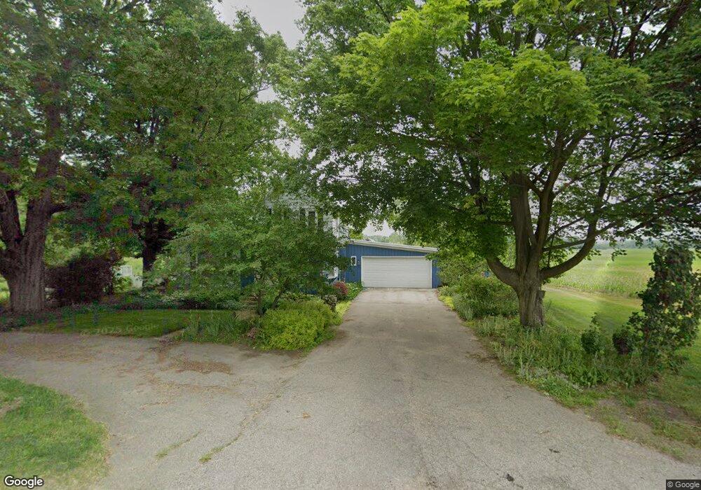
4082 9th St Wayland, MI 49348
Estimated Value: $329,937 - $411,000
3
Beds
2
Baths
1,676
Sq Ft
$220/Sq Ft
Est. Value
About This Home
This home is located at 4082 9th St, Wayland, MI 49348 and is currently estimated at $369,312, approximately $220 per square foot. 4082 9th St is a home located in Allegan County with nearby schools including Wayland High School and Moline Christian School.
Ownership History
Date
Name
Owned For
Owner Type
Purchase Details
Closed on
Oct 28, 2019
Sold by
Westhouse Sandra L and Nieboer Sandra L
Bought by
Westhouse Sandra L
Current Estimated Value
Home Financials for this Owner
Home Financials are based on the most recent Mortgage that was taken out on this home.
Original Mortgage
$55,000
Interest Rate
3.7%
Mortgage Type
New Conventional
Create a Home Valuation Report for This Property
The Home Valuation Report is an in-depth analysis detailing your home's value as well as a comparison with similar homes in the area
Home Values in the Area
Average Home Value in this Area
Purchase History
| Date | Buyer | Sale Price | Title Company |
|---|---|---|---|
| Westhouse Sandra L | -- | Lighthouse Title Inc |
Source: Public Records
Mortgage History
| Date | Status | Borrower | Loan Amount |
|---|---|---|---|
| Closed | Westhouse Sandra L | $55,000 |
Source: Public Records
Tax History Compared to Growth
Tax History
| Year | Tax Paid | Tax Assessment Tax Assessment Total Assessment is a certain percentage of the fair market value that is determined by local assessors to be the total taxable value of land and additions on the property. | Land | Improvement |
|---|---|---|---|---|
| 2025 | $2,235 | $132,800 | $41,500 | $91,300 |
| 2024 | $2,033 | $127,500 | $39,100 | $88,400 |
| 2023 | $2,033 | $119,600 | $39,100 | $80,500 |
| 2022 | $2,033 | $111,100 | $41,100 | $70,000 |
| 2021 | $1,961 | $102,200 | $40,100 | $62,100 |
| 2020 | $1,925 | $90,400 | $34,100 | $56,300 |
| 2019 | $1,843 | $79,300 | $32,200 | $47,100 |
| 2018 | $1,754 | $75,200 | $32,200 | $43,000 |
| 2017 | $0 | $72,700 | $32,200 | $40,500 |
| 2016 | $0 | $62,400 | $32,200 | $30,200 |
| 2015 | -- | $62,400 | $32,200 | $30,200 |
| 2014 | -- | $62,600 | $31,000 | $31,600 |
| 2013 | $1,512 | $61,900 | $31,000 | $30,900 |
Source: Public Records
Map
Nearby Homes
- 1376 142nd Ave
- 4243 Butternut Dr
- 4245 Butternut Dr
- 4240 Butternut Dr
- Vienna Plan at Harvest Meadows
- Charlotte Plan at Harvest Meadows
- Sierra Plan at Harvest Meadows
- Karolynn Plan at Harvest Meadows
- Reno Plan at Harvest Meadows
- Bayberry Plan at Harvest Meadows
- Freedom Plan at Harvest Meadows
- London Plan at Harvest Meadows
- Hampton Plan at Harvest Meadows
- Oxford Plan at Harvest Meadows
- 4249 Butternut Dr
- Lot 142 Butternut Dr
- Lot 141 Butternut Dr
- 3905 Sunset View
- 3897 Division St
- 4274 Butternut Dr
- 4073 9th St
- 4062 9th St
- 4055 9th St
- 4058 9th St
- 4045 9th St
- 4103 9th St
- 4089 9th St
- 4085 9th St
- 4138 9th St
- 4027 9th St
- 4021 9th St
- 4152 9th St
- 4017 9th St
- 855 140th Ave
- 887 140th Ave
- 0 140th Ave Unit 65011019610
- 0 140th Ave Unit 71019034428
- 0 140th Ave Unit M19034428
- 0 140th Ave Unit PAR A
- 998 140th Ave