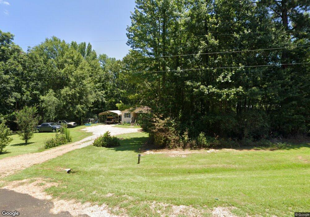
4082 Highway 51 Wesson, MS 39191
Estimated Value: $103,010 - $234,000
About This Home
This home is located at 4082 Highway 51, Wesson, MS 39191 and is currently estimated at $156,503, approximately $142 per square foot. 4082 Highway 51 is a home located in Copiah County.
Ownership History
We collect this data history from publicly available records. To have your information removed, we recommend requesting removal directly through your county’s website.
Purchase Details
Home Financials for this Owner
Home Financials are based on the most recent Mortgage that was taken out on this home.Purchase History
We collect this data history from publicly available records. To have your information removed, we recommend requesting removal directly through your county’s website.
| Date | Buyer | Sale Price | Title Company |
|---|---|---|---|
| -- | -- |
Mortgage History
We collect this data history from publicly available records. To have your information removed, we recommend requesting removal directly through your county’s website.
| Date | Status | Borrower | Loan Amount |
|---|---|---|---|
| Open | $59,529 |
Tax History
We collect this data history from publicly available records. To have your information removed, we recommend requesting removal directly through your county’s website.
| Year | Tax Paid | Tax Assessment Tax Assessment Total Assessment is a certain percentage of the fair market value that is determined by local assessors to be the total taxable value of land and additions on the property. | Land | Improvement |
|---|---|---|---|---|
| 2025 | $440 | $6,744 | $0 | $0 |
| 2024 | $395 | $5,624 | $0 | $0 |
| 2023 | $402 | $5,624 | $0 | $0 |
| 2022 | $375 | $5,157 | $0 | $0 |
| 2021 | $351 | $5,101 | $0 | $0 |
| 2020 | $356 | $4,967 | $0 | $0 |
| 2019 | $358 | $4,857 | $0 | $0 |
| 2018 | $350 | $4,857 | $0 | $0 |
| 2017 | $338 | $4,812 | $0 | $0 |
| 2016 | $338 | $4,793 | $0 | $0 |
| 2015 | $334 | $4,617 | $0 | $0 |
| 2014 | $334 | $4,617 | $0 | $0 |
Map
- 1071 Williams Rd
- 0 Loom St
- 1008 Tannahill St
- 1001 Lumley Ln
- 0 Wells St
- 1082 E Railroad Ave
- 1005 Short St
- 3085 Beauregard Rd
- 000 Grover Smith Ln
- 589 Mount Zion Rd
- 594 Mount Zion Rd
- 4194 Martinsville Rd
- 2127 Anderson Rd
- 3070 Martinsville Rd
- 000 Furrs Mill Dr NE
- 0 Furrs Mill Dr NE
- 0 Cline Rd
- 2548 Furrs Mill Dr NE
- 4174 Anderson Rd
- 0 Broome Rd
- 4082 Highway 51
- 4082 Highway 51
- 4084 U S 51
- 1003 Dixie Garden Rd
- 1007 Dixie Garden Rd
- 4050 U S 51
- 4050 Highway 51
- n/a Dixie Garden Hwy 51
- 1001 Dixie Garden Rd
- 1043 Starkey Ln
- 2043 Lowery Rd
- 4148 Highway 51
- 2041 Lowery Rd
- 1082 North St
- 1095 North St
- 4155 Highway 51
- 2039 Lowery Rd
- 1085 North St
- 1015 Vandorn St
- 4037 Highway 51
Ask me questions while you tour the home.