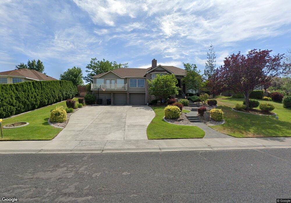
4083 Cove West Dr Moses Lake, WA 98837
Estimated Value: $604,000 - $660,000
5
Beds
3
Baths
3,411
Sq Ft
$186/Sq Ft
Est. Value
About This Home
This home is located at 4083 Cove West Dr, Moses Lake, WA 98837 and is currently estimated at $633,099, approximately $185 per square foot. 4083 Cove West Dr is a home located in Grant County with nearby schools including Peninsula Elementary School, Frontier Middle School, and Moses Lake High School.
Ownership History
Date
Name
Owned For
Owner Type
Purchase Details
Closed on
Jan 27, 2021
Sold by
Chlarson Rees
Bought by
Chlarson Melissa
Current Estimated Value
Purchase Details
Closed on
Sep 25, 2006
Sold by
Miller David M and Miller Deborah A
Bought by
Chlarson Rees and Chlarson Melissa
Home Financials for this Owner
Home Financials are based on the most recent Mortgage that was taken out on this home.
Original Mortgage
$365,500
Outstanding Balance
$217,818
Interest Rate
6.53%
Mortgage Type
Purchase Money Mortgage
Estimated Equity
$415,281
Create a Home Valuation Report for This Property
The Home Valuation Report is an in-depth analysis detailing your home's value as well as a comparison with similar homes in the area
Home Values in the Area
Average Home Value in this Area
Purchase History
| Date | Buyer | Sale Price | Title Company |
|---|---|---|---|
| Chlarson Melissa | -- | Grant County Title Company | |
| Chlarson Rees | $434,000 | Security Title Guaranty Inc |
Source: Public Records
Mortgage History
| Date | Status | Borrower | Loan Amount |
|---|---|---|---|
| Open | Chlarson Rees | $365,500 |
Source: Public Records
Tax History Compared to Growth
Tax History
| Year | Tax Paid | Tax Assessment Tax Assessment Total Assessment is a certain percentage of the fair market value that is determined by local assessors to be the total taxable value of land and additions on the property. | Land | Improvement |
|---|---|---|---|---|
| 2024 | $4,196 | $375,627 | $77,500 | $298,127 |
| 2023 | $5,122 | $433,255 | $55,625 | $377,630 |
| 2022 | $5,027 | $433,255 | $55,625 | $377,630 |
| 2021 | $4,582 | $433,255 | $55,625 | $377,630 |
| 2020 | $4,611 | $381,360 | $55,625 | $325,735 |
| 2019 | $4,410 | $333,455 | $42,000 | $291,455 |
| 2018 | $4,863 | $317,495 | $42,000 | $275,495 |
| 2017 | $4,633 | $317,495 | $42,000 | $275,495 |
| 2016 | $4,694 | $320,450 | $42,000 | $278,450 |
| 2013 | -- | $274,040 | $42,000 | $232,040 |
Source: Public Records
Map
Nearby Homes
- 600 Bluff Dr W
- 620 N Dove Ct
- 509 Bluff Dr W
- 601 Bluff Dr W
- 4349 W Cove Dr W
- 4326 W Redhead Ave
- 316 Montana St
- 320 Montana St
- 312 Montana St
- Canyon A Plan at The Refuge - The Refuge
- Canyon B Plan at The Refuge - The Refuge
- Suncrest Plan at The Refuge - The Refuge
- Skyline Plan at The Refuge - The Refuge
- Cascade B Plan at The Refuge - The Refuge
- Sage Plan at The Refuge - The Refuge
- Olympic Plan at The Refuge - The Refuge
- Cascade A Plan at The Refuge - The Refuge
- 315 N Lessor Loop
- 490 N Ruddy St
- 494 N Ruddy St
- 4081 Cove West Dr
- 4085 Cove West Dr
- 4081 Cove Dr W
- 4087 Cove Dr W
- 4079 Cove Dr W
- 4079 Cove West Dr
- 4082 Cove Dr W
- 4087 Cove West Dr
- 609 N Swan Ln
- 4082 Cove West Dr
- 4080 Cove West Dr
- 4084 Cove West Dr
- 613 N Swan Ln
- 4077 Cove West Dr
- 533 N Osprey Ln
- 4086 Cove West Dr
- 4078 Cove West Dr
- 4089 Cove West Dr
- 4089 Cove Dr W