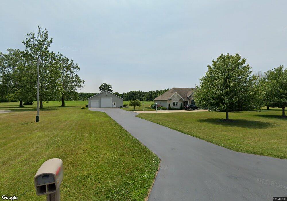
4084 Creek Rd Conneaut, OH 44030
Kingsville NeighborhoodEstimated Value: $356,000 - $413,000
3
Beds
3
Baths
2,097
Sq Ft
$179/Sq Ft
Est. Value
About This Home
This home is located at 4084 Creek Rd, Conneaut, OH 44030 and is currently estimated at $376,018, approximately $179 per square foot. 4084 Creek Rd is a home located in Ashtabula County with nearby schools including Kingsville Elementary School, Ridgeview Elementary School, and Wallace H. Braden Junior High School.
Ownership History
Date
Name
Owned For
Owner Type
Purchase Details
Closed on
Dec 16, 2019
Sold by
Drew Lance E and Drew Deborah A
Bought by
Drew Lance E and Drew Deborah A
Current Estimated Value
Purchase Details
Closed on
Jun 12, 2019
Sold by
Liv Callaghan Doreen L
Bought by
Drew Lance E and Drew Deborah A
Purchase Details
Closed on
Aug 28, 2014
Sold by
Edward R Detrick Revocable Living Trust
Bought by
The Sam Wharram Nature Club Inc
Purchase Details
Closed on
Apr 9, 2007
Sold by
Liv Detrick Edward R
Bought by
Callaghan Doreen L and Callaghan Paul M
Purchase Details
Closed on
Jan 31, 2004
Sold by
Detrick Edward R
Bought by
The Edward R Detrick Revocable Living Tr
Purchase Details
Closed on
Jul 5, 2003
Sold by
Detrick Edward R and Detrick Lois R
Bought by
Detrick Edward R and Detrick Lois R
Create a Home Valuation Report for This Property
The Home Valuation Report is an in-depth analysis detailing your home's value as well as a comparison with similar homes in the area
Home Values in the Area
Average Home Value in this Area
Purchase History
| Date | Buyer | Sale Price | Title Company |
|---|---|---|---|
| Drew Lance E | -- | None Available | |
| Drew Lance E | -- | None Available | |
| The Sam Wharram Nature Club Inc | $42,000 | Ashtabula Land Title | |
| Callaghan Doreen L | $175,000 | Buckeye Title | |
| The Edward R Detrick Revocable Living Tr | -- | -- | |
| Detrick Edward R | -- | -- | |
| Detrick Edward R | -- | -- | |
| Detrick Edward R | -- | -- |
Source: Public Records
Tax History Compared to Growth
Tax History
| Year | Tax Paid | Tax Assessment Tax Assessment Total Assessment is a certain percentage of the fair market value that is determined by local assessors to be the total taxable value of land and additions on the property. | Land | Improvement |
|---|---|---|---|---|
| 2024 | $6,926 | $87,540 | $23,030 | $64,510 |
| 2023 | $3,720 | $87,540 | $23,030 | $64,510 |
| 2022 | $3,453 | $71,440 | $17,710 | $53,730 |
| 2021 | $3,448 | $71,440 | $17,710 | $53,730 |
| 2020 | $3,363 | $71,440 | $17,710 | $53,730 |
| 2019 | $3,963 | $80,120 | $21,390 | $58,730 |
| 2018 | $3,366 | $80,120 | $21,390 | $58,730 |
| 2017 | $3,288 | $80,120 | $21,390 | $58,730 |
| 2016 | $3,158 | $75,610 | $19,570 | $56,040 |
| 2015 | $3,241 | $75,610 | $19,570 | $56,040 |
| 2014 | $3,054 | $75,610 | $19,570 | $56,040 |
| 2013 | $3,669 | $89,010 | $30,240 | $58,770 |
Source: Public Records
Map
Nearby Homes
- 6926 Reed Rd
- 7002 Reed Rd
- 7032 Reed Rd
- 0 Creek Rd Unit 5146859
- 4377 E Center St
- 0 Creek Rd Unit 5172426
- 3241 S Forest Dr
- 531 W Main Rd
- 7328 Harmon Rd
- 7435 Glenwood Rd
- 3988 Lake Rd
- 7463 Glenwood Rd
- 7527 Tamkrist Trail
- 4017 Lake Rd Unit 17
- 7544 Glenwood Rd
- 40 Oakland Blvd
- 7630 Darling Ave
- 7842 Cleveland Dr
- 3339 Lake Rd
- 6086 N Wright St