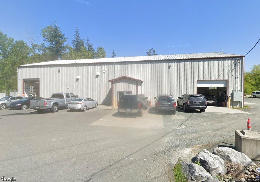
4084 Pacific Hwy Bellingham, WA 98226
Meridian NeighborhoodEstimated Value: $2,891,471
2
Beds
1
Bath
15,816
Sq Ft
$183/Sq Ft
Est. Value
About This Home
This home is located at 4084 Pacific Hwy, Bellingham, WA 98226 and is currently estimated at $2,891,471, approximately $182 per square foot. 4084 Pacific Hwy is a home located in Whatcom County with nearby schools including Cordata Elementary School, Shuksan Middle School, and Squalicum High School.
Ownership History
Date
Name
Owned For
Owner Type
Purchase Details
Closed on
Jul 1, 2020
Sold by
Pace Paul and Pace Roberta
Bought by
Ren Properties Llc
Current Estimated Value
Home Financials for this Owner
Home Financials are based on the most recent Mortgage that was taken out on this home.
Original Mortgage
$1,628,541
Outstanding Balance
$1,444,082
Interest Rate
3.1%
Mortgage Type
Unknown
Estimated Equity
$1,447,389
Purchase Details
Closed on
Nov 22, 2002
Sold by
Schroder Kalvin D and Schroder Zena
Bought by
Pace Paul and Pace Roberta
Create a Home Valuation Report for This Property
The Home Valuation Report is an in-depth analysis detailing your home's value as well as a comparison with similar homes in the area
Home Values in the Area
Average Home Value in this Area
Purchase History
| Date | Buyer | Sale Price | Title Company |
|---|---|---|---|
| Ren Properties Llc | $1,900,000 | Whatcom Land Title Co Inc | |
| Pace Paul | $604,901 | Chicago Title Insurance |
Source: Public Records
Mortgage History
| Date | Status | Borrower | Loan Amount |
|---|---|---|---|
| Open | Ren Properties Llc | $1,628,541 |
Source: Public Records
Tax History Compared to Growth
Tax History
| Year | Tax Paid | Tax Assessment Tax Assessment Total Assessment is a certain percentage of the fair market value that is determined by local assessors to be the total taxable value of land and additions on the property. | Land | Improvement |
|---|---|---|---|---|
| 2024 | $19,777 | $2,542,988 | $801,948 | $1,741,040 |
| 2023 | $19,777 | $2,542,988 | $801,948 | $1,741,040 |
| 2022 | $16,315 | $2,002,353 | $631,455 | $1,370,898 |
| 2021 | $13,861 | $1,756,450 | $553,908 | $1,202,542 |
| 2020 | $11,725 | $1,408,391 | $454,931 | $953,460 |
| 2019 | $9,988 | $1,151,497 | $454,931 | $696,566 |
| 2018 | $10,938 | $983,492 | $403,002 | $580,490 |
| 2017 | $7,820 | $920,888 | $377,349 | $543,539 |
| 2016 | $7,512 | $688,074 | $346,192 | $341,882 |
| 2015 | $8,555 | $688,074 | $346,192 | $341,882 |
| 2014 | -- | $758,232 | $339,268 | $418,964 |
| 2013 | -- | $758,232 | $339,268 | $418,964 |
Source: Public Records
Map
Nearby Homes
- 4154 Pacific Hwy
- 44 XX Pacific Hwy
- 1365 Mahogany Ave
- 4434 Pacific Hwy
- 1210 Mahogany Ave
- 4232 Melrose Ln
- 4228 Melrose Ln
- 4230 Melrose Ln
- 4226 Melrose Ln
- 4225 Ambrosia Ln
- 4227 Ambrosia Ln
- 4229 Ambrosia Ln
- 1370 Talus Way
- 1368 Talus Way
- 1366 Talus Way
- 1360 Talus Way
- 4226 Traverse Dr
- 4243 Cameo Ln
- 1217 Garland Ln
- 4250 Braeburn Ln Unit 37
- 4072 Pacific Hwy
- 4100 Pacific Hwy
- 4054 Pacific Hwy
- 4132 Pacific Hwy
- 4033 Pacific Hwy
- 4018 Pacific Hwy
- 4017 Bakerview Spur
- 4146 Pacific Hwy
- 1427 W Bakerview Rd
- 4141 W Maplewood Ave
- 3939 Bennett Dr
- 4000 Pacific Hwy
- 4200 Ambrosia Ln Unit D-10
- 1317 W Bakerview Rd
- 1317 W Bakerview Rd Unit 102
- 4203 Ambrosia Ln Unit B-8
- 4202 Ambrosia Ln Unit D-11
- 4205 Ambrosia Ln Unit B-7
- 4203 Melrose Ln Unit F-24