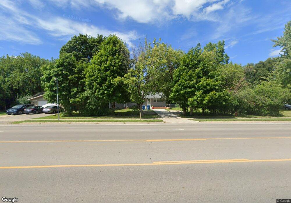
4085 Packard St Ann Arbor, MI 48108
Estimated Value: $247,000 - $309,000
3
Beds
2
Baths
1,290
Sq Ft
$222/Sq Ft
Est. Value
About This Home
This home is located at 4085 Packard St, Ann Arbor, MI 48108 and is currently estimated at $286,855, approximately $222 per square foot. 4085 Packard St is a home located in Washtenaw County with nearby schools including Carpenter Elementary School, Scarlett Middle School, and Huron High School.
Ownership History
Date
Name
Owned For
Owner Type
Purchase Details
Closed on
Nov 20, 2020
Sold by
Kasham Mohammad
Bought by
Eastown Property Group Llc
Current Estimated Value
Purchase Details
Closed on
Apr 24, 2009
Sold by
U S Bank National Association
Bought by
Kasham Mohammad J
Purchase Details
Closed on
Feb 21, 2008
Sold by
Binte Alam Mokbul and Binte Asad Sanzida
Bought by
U S Bank Na and Structured Asset Investment Loan Trust 2
Purchase Details
Closed on
Oct 16, 2000
Sold by
Mclelland James H
Bought by
Calderon Jose
Purchase Details
Closed on
Aug 29, 1997
Sold by
Cummins Marilyn K
Bought by
Mclelland James H
Home Financials for this Owner
Home Financials are based on the most recent Mortgage that was taken out on this home.
Original Mortgage
$76,000
Interest Rate
7.44%
Create a Home Valuation Report for This Property
The Home Valuation Report is an in-depth analysis detailing your home's value as well as a comparison with similar homes in the area
Home Values in the Area
Average Home Value in this Area
Purchase History
| Date | Buyer | Sale Price | Title Company |
|---|---|---|---|
| Eastown Property Group Llc | -- | None Available | |
| Kasham Mohammad J | $36,190 | E Title Agency Inc | |
| U S Bank Na | $87,500 | None Available | |
| Calderon Jose | $120,000 | -- | |
| Mclelland James H | $95,000 | -- |
Source: Public Records
Mortgage History
| Date | Status | Borrower | Loan Amount |
|---|---|---|---|
| Previous Owner | Mclelland James H | $76,000 |
Source: Public Records
Tax History
| Year | Tax Paid | Tax Assessment Tax Assessment Total Assessment is a certain percentage of the fair market value that is determined by local assessors to be the total taxable value of land and additions on the property. | Land | Improvement |
|---|---|---|---|---|
| 2025 | $3,095 | $123,325 | $0 | $0 |
| 2024 | $3,007 | $117,044 | $0 | $0 |
| 2023 | $2,868 | $96,300 | $0 | $0 |
| 2022 | $4,576 | $95,400 | $0 | $0 |
| 2021 | $4,433 | $89,200 | $0 | $0 |
| 2020 | $3,163 | $81,400 | $0 | $0 |
| 2019 | $3,011 | $76,100 | $76,100 | $0 |
| 2018 | $2,945 | $67,700 | $0 | $0 |
| 2017 | $2,825 | $69,300 | $0 | $0 |
| 2016 | $1,714 | $53,159 | $0 | $0 |
| 2015 | -- | $53,000 | $0 | $0 |
| 2014 | -- | $56,934 | $0 | $0 |
| 2013 | -- | $56,934 | $0 | $0 |
Source: Public Records
Map
Nearby Homes
- 3164 Promenade Cir Unit 59
- 4315 Center Valley Dr
- 3084 Turnberry Ln
- 2444 Darrow Dr
- 2644 Whitewood St
- 3620 Ca Canny Ct
- 2829 Pittsfield Blvd
- 3005 Fernwood Ave Unit 103
- 2540 Pittsfield Blvd Unit 79
- 3325 Packard St
- 2310 Pinecrest Ave
- 3220 Monument
- 2327 Fernwood Ave
- 2468 Fernwood Ave
- 3867 Palisades Blvd
- 2851 Elmwood Ave
- 3393 Williamsburg Rd
- 2233 S Huron Pkwy Unit 2
- 2225 S Huron Pkwy Unit 2
- 3166 Wolverine Dr
- 4075 Packard St
- 4095 Packard St
- 2909 Crystal Dr
- 2910 Grant Dr
- 4072 Packard St
- 4080 Packard St
- 2895 Crystal Dr
- 2886 Grant Dr
- 2883 Crystal Dr
- 2882 Grant Dr
- 4125 Packard St
- 2911 Grant Dr
- 2868 Grant Dr
- 4060 Packard St
- 2895 Grant Dr
- 2883 Grant Dr
- 2860 Grant Dr
- 2861 Crystal Dr
- 4191 Packard St
- 2869 Grant Dr
Your Personal Tour Guide
Ask me questions while you tour the home.