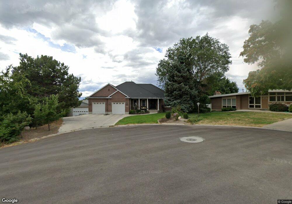
4086 Aposhian Cir Salt Lake City, UT 84124
Estimated Value: $1,211,000 - $1,510,000
4
Beds
5
Baths
2,495
Sq Ft
$565/Sq Ft
Est. Value
About This Home
This home is located at 4086 Aposhian Cir, Salt Lake City, UT 84124 and is currently estimated at $1,410,529, approximately $565 per square foot. 4086 Aposhian Cir is a home located in Salt Lake County with nearby schools including Crestview Elementary School, Olympus Junior High School, and Olympus High School.
Ownership History
Date
Name
Owned For
Owner Type
Purchase Details
Closed on
Apr 29, 2024
Sold by
Thomas Robert Scott and Thomas Julie S
Bought by
S & J Thomas Family Trust
Current Estimated Value
Purchase Details
Closed on
Apr 25, 2007
Sold by
Aposhian George Z and Aposhian Julia F
Bought by
Thomas Robert Scott and Thomas Julie S
Home Financials for this Owner
Home Financials are based on the most recent Mortgage that was taken out on this home.
Original Mortgage
$650,000
Interest Rate
6.11%
Mortgage Type
Construction
Purchase Details
Closed on
Jan 11, 1996
Sold by
Aposhian George Z and Aposhian Julia F
Bought by
Aposhian George Z and Aposhian Julia F
Purchase Details
Closed on
Feb 8, 1995
Sold by
Aposhian George Z and Bigler Lois Aposhian
Bought by
Aposhian George Z and Aposhian Julia F
Create a Home Valuation Report for This Property
The Home Valuation Report is an in-depth analysis detailing your home's value as well as a comparison with similar homes in the area
Home Values in the Area
Average Home Value in this Area
Purchase History
| Date | Buyer | Sale Price | Title Company |
|---|---|---|---|
| S & J Thomas Family Trust | -- | None Listed On Document | |
| Thomas Robert Scott | -- | First American Title | |
| Aposhian George Z | -- | -- | |
| Aposhian George Z | -- | -- |
Source: Public Records
Mortgage History
| Date | Status | Borrower | Loan Amount |
|---|---|---|---|
| Previous Owner | Thomas Robert Scott | $650,000 |
Source: Public Records
Tax History Compared to Growth
Tax History
| Year | Tax Paid | Tax Assessment Tax Assessment Total Assessment is a certain percentage of the fair market value that is determined by local assessors to be the total taxable value of land and additions on the property. | Land | Improvement |
|---|---|---|---|---|
| 2025 | $6,641 | $1,258,200 | $359,700 | $898,500 |
| 2024 | $6,641 | $1,190,400 | $348,600 | $841,800 |
| 2023 | $6,379 | $1,125,000 | $324,900 | $800,100 |
| 2022 | $6,672 | $1,182,500 | $318,500 | $864,000 |
| 2021 | $6,519 | $1,003,600 | $294,600 | $709,000 |
| 2020 | $6,111 | $932,800 | $291,900 | $640,900 |
| 2019 | $6,868 | $1,020,900 | $276,000 | $744,900 |
| 2018 | $6,723 | $966,700 | $276,000 | $690,700 |
| 2017 | $6,120 | $929,000 | $276,000 | $653,000 |
| 2016 | $5,566 | $849,700 | $200,400 | $649,300 |
| 2015 | $5,867 | $826,200 | $226,900 | $599,300 |
| 2014 | $5,693 | $795,100 | $222,400 | $572,700 |
Source: Public Records
Map
Nearby Homes
- 1958 E Longview Dr
- 4129 Colt Haven Cir
- 2087 Lincoln Ln
- 4215 S Holladay Blvd
- 1870 E 3900 S
- 1840 E Grover Ln
- 1818 E 3900 S
- 4097 S Highland Dr Unit 3A
- 1801 E 3900 S
- Turner 2 Plan at Axis
- 4126 S Winder Ward Dr Unit 2-123
- 1648 E 4150 S
- 4128 S Winder Ward Dr Unit 2-122
- 4132 S Winder Ward Dr Unit 2-120
- 4008 S Vernon Cir Unit C
- 4340 S Lynne Ln
- 2183 E 3780 S
- 3995 S 2280 E
- 1889 E 4500 S
- 1550 E 4160 S
- 4084 Aposhian Cir
- 1945 Gunderson Ln
- 1945 E Gunderson Ln Unit A
- 1965 Gunderson Ln
- 4085 Aposhian Cir
- 4094 Severn Cir
- 4116 Holloway Dr
- 1975 Gunderson Ln
- 1970 Gunderson Ln
- 1906 E Southwoodside Dr
- 4108 S Woodside Dr
- 1944 Severn Dr
- 4062 Severn Cir
- 4095 Severn Cir
- 4108 Woodside Dr
- 1924 Severn Dr
- 1924 E Severn Dr
- 1934 Severn Dr
- 4062 S Severn Cir
- 1944 E Severn Dr