4087 Mesquite Dr Whitney, TX 76692
Estimated Value: $326,000 - $363,000
3
Beds
2
Baths
1,804
Sq Ft
$190/Sq Ft
Est. Value
About This Home
This home is located at 4087 Mesquite Dr, Whitney, TX 76692 and is currently estimated at $343,505, approximately $190 per square foot. 4087 Mesquite Dr is a home located in Hill County with nearby schools including Whitney Elementary School, Whitney Intermediate School, and Whitney Middle School.
Ownership History
Date
Name
Owned For
Owner Type
Purchase Details
Closed on
Nov 30, 2007
Sold by
Mortgage Electronic Registration System
Bought by
Green Malvin O and Green Donna
Current Estimated Value
Home Financials for this Owner
Home Financials are based on the most recent Mortgage that was taken out on this home.
Original Mortgage
$88,000
Outstanding Balance
$55,333
Interest Rate
6.26%
Mortgage Type
New Conventional
Estimated Equity
$288,172
Purchase Details
Closed on
Jun 6, 2006
Sold by
Robertson David W
Bought by
Schwartz Dennis P
Purchase Details
Closed on
Mar 1, 2005
Sold by
Jonathan Liechty Family Partnership
Bought by
Robertson David W
Home Financials for this Owner
Home Financials are based on the most recent Mortgage that was taken out on this home.
Original Mortgage
$33,600
Interest Rate
5.66%
Mortgage Type
Stand Alone Second
Create a Home Valuation Report for This Property
The Home Valuation Report is an in-depth analysis detailing your home's value as well as a comparison with similar homes in the area
Home Values in the Area
Average Home Value in this Area
Purchase History
| Date | Buyer | Sale Price | Title Company |
|---|---|---|---|
| Green Malvin O | -- | None Available | |
| Schwartz Dennis P | $179,200 | None Available | |
| Robertson David W | -- | None Available |
Source: Public Records
Mortgage History
| Date | Status | Borrower | Loan Amount |
|---|---|---|---|
| Open | Green Malvin O | $88,000 | |
| Previous Owner | Robertson David W | $33,600 |
Source: Public Records
Tax History Compared to Growth
Tax History
| Year | Tax Paid | Tax Assessment Tax Assessment Total Assessment is a certain percentage of the fair market value that is determined by local assessors to be the total taxable value of land and additions on the property. | Land | Improvement |
|---|---|---|---|---|
| 2025 | $4,696 | $306,250 | $12,600 | $293,650 |
| 2024 | $4,524 | $295,030 | $12,600 | $282,430 |
| 2023 | $4,434 | $284,770 | $12,600 | $272,170 |
| 2022 | $4,510 | $241,120 | $6,070 | $235,050 |
| 2021 | $4,360 | $205,170 | $6,070 | $199,100 |
| 2020 | $4,358 | $196,330 | $6,070 | $190,260 |
| 2019 | $4,455 | $191,600 | $5,370 | $186,230 |
| 2018 | $4,371 | $188,290 | $5,430 | $182,860 |
| 2017 | $4,429 | $189,030 | $5,460 | $183,570 |
| 2016 | $4,428 | $188,990 | $5,570 | $183,420 |
| 2015 | -- | $186,070 | $6,250 | $179,820 |
| 2014 | -- | $180,130 | $7,440 | $172,690 |
Source: Public Records
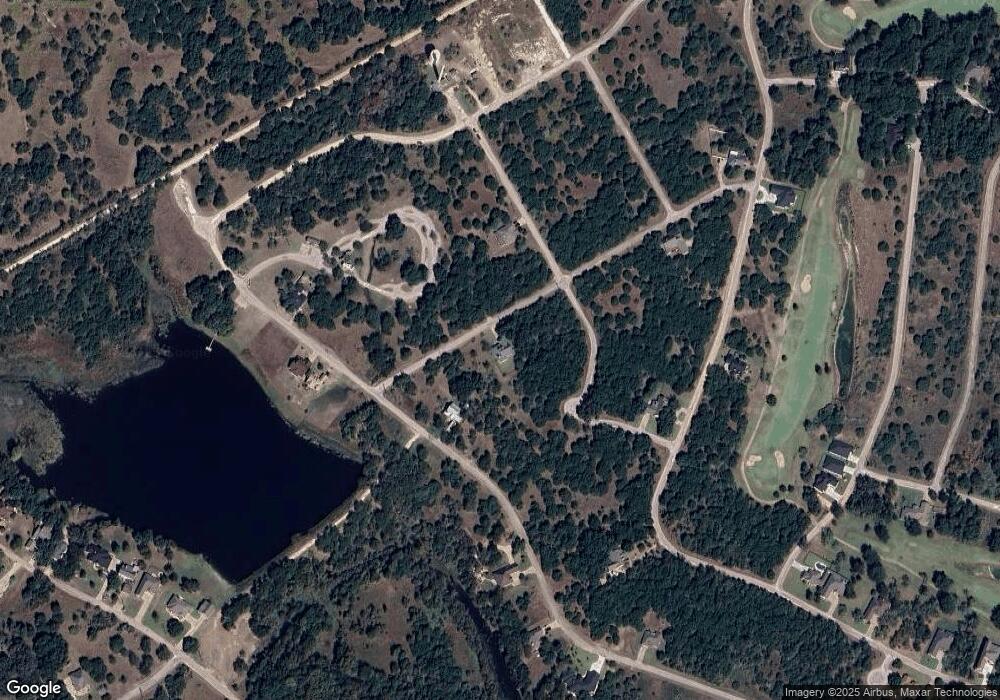
Map
Nearby Homes
- 4076 Quail Run Rd
- 39019 Quail Run Rd
- 4081 Mesquite Dr
- 4089 Mesquite Dr
- 39041 Mesquite Dr
- 39038 Mesquite Dr
- 4053 High Point Dr
- 39047 High Point Dr
- 4044 High Point Dr
- 4038 High Point Dr
- 39364 Mesquite Tr
- 4022 Whitecrest Dr
- 1577 Whitecrest Dr
- 4036 Whitecrest Dr
- 1442 Lakeside Trail
- 4006 Whitecrest Dr
- 1434 Lakeside Trail
- 1415 Lakeside Trail
- 1096 Lakeside Trail
- 1414 Lakeside Trail
- 4086 Mesquite Dr
- 39015 Quail Run Rd
- 4067 Mesquite Dr
- 4092 Whitecrest Dr
- 39011 Quail Run Rd
- 4060 Quail Run Rd
- 4095 Whitecrest Dr
- 4061 Quail Run Rd
- 4096 Whitecrest Dr
- 105 Whitecrest Dr
- 4080 Mesquite Dr
- 4082 Mesquite Dr
- 39042 Mesquite Dr
- 4068 Mesquite Dr
- 4065 Mesquite Dr
- 4088 Mesquite Dr
- 4071 Whitecrest Dr
- 4026 Whitecrest Dr
- 39009 Cedar Trail
- 39023 Cedar Trail