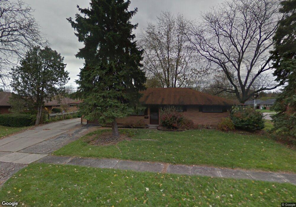
4088 Waterbury Dr Dayton, OH 45439
Woodbourne-Hyde Park NeighborhoodEstimated Value: $173,027 - $208,000
3
Beds
1
Bath
1,404
Sq Ft
$137/Sq Ft
Est. Value
About This Home
This home is located at 4088 Waterbury Dr, Dayton, OH 45439 and is currently estimated at $193,007, approximately $137 per square foot. 4088 Waterbury Dr is a home located in Montgomery County with nearby schools including West Carrollton High School, Miami Valley Academies, and St. Albert the Great Catholic School.
Ownership History
Date
Name
Owned For
Owner Type
Purchase Details
Closed on
Apr 22, 2021
Sold by
Dcwi 77 Llc
Bought by
Vb One Llc
Current Estimated Value
Purchase Details
Closed on
Jan 4, 2006
Sold by
Wright Todd B
Bought by
Wright Donald C
Purchase Details
Closed on
Jan 3, 2006
Sold by
Wright Donald C and Wright Gayle
Bought by
Dcwi-77 Llc
Purchase Details
Closed on
Nov 10, 2005
Sold by
Powell Douglas B
Bought by
Wright Todd B
Create a Home Valuation Report for This Property
The Home Valuation Report is an in-depth analysis detailing your home's value as well as a comparison with similar homes in the area
Home Values in the Area
Average Home Value in this Area
Purchase History
| Date | Buyer | Sale Price | Title Company |
|---|---|---|---|
| Vb One Llc | $4,300,000 | Total Title Services Llc | |
| Wright Donald C | -- | Chicago Title Insurance Co | |
| Dcwi-77 Llc | -- | Chicago Title Insurance Co | |
| Wright Todd B | $75,100 | -- |
Source: Public Records
Tax History Compared to Growth
Tax History
| Year | Tax Paid | Tax Assessment Tax Assessment Total Assessment is a certain percentage of the fair market value that is determined by local assessors to be the total taxable value of land and additions on the property. | Land | Improvement |
|---|---|---|---|---|
| 2024 | $3,820 | $53,430 | $7,820 | $45,610 |
| 2023 | $3,820 | $53,430 | $7,820 | $45,610 |
| 2022 | $3,316 | $35,860 | $5,250 | $30,610 |
| 2021 | $2,504 | $29,110 | $5,250 | $23,860 |
| 2020 | $2,508 | $29,110 | $5,250 | $23,860 |
| 2019 | $2,572 | $26,130 | $5,250 | $20,880 |
| 2018 | $2,410 | $26,130 | $5,250 | $20,880 |
| 2017 | $2,396 | $26,130 | $5,250 | $20,880 |
| 2016 | $2,422 | $25,540 | $5,250 | $20,290 |
| 2015 | $2,257 | $25,540 | $5,250 | $20,290 |
| 2014 | $2,257 | $25,540 | $5,250 | $20,290 |
| 2012 | -- | $26,250 | $10,500 | $15,750 |
Source: Public Records
Map
Nearby Homes
- 2090 Mattis Dr
- 4051 Ellery Ave
- 1692 Hillwood Dr
- 1673 W Stroop Rd
- 4207 S Dixie Dr
- 4301 Tait Rd
- 1952 Tait Circle Rd
- 1905 Tait Circle Rd
- 2639 Blanchard Ave
- 4629 Richwood Dr
- 4661 Richwood Dr
- 2050 William Ln
- 2571 Cluster Ave
- 4792 Loxley Dr
- 3720 Ridgeleigh Rd Unit D
- 5084 Mays Ave
- 1955 Kresswood Cir
- 1349 Tamerlane Rd
- 2399 Polo Park Dr
- 3225 Southdale Dr Unit 1
- 2239 Mattis Dr
- 4070 Waterbury Dr
- 2236 Norway Dr
- 4087 Waterbury Dr
- 4118 Waterbury Dr
- 2225 Mattis Dr
- 4069 Waterbury Dr
- 2238 Mattis Dr
- 2212 Norway Dr
- 4117 Waterbury Dr
- 2226 Mattis Dr
- 2289 Mattis Dr
- 2209 Mattis Dr
- 2280 Norway Dr
- 4042 Waterbury Dr
- 4136 Waterbury Dr
- 2198 Norway Dr
- 2237 Norway Dr
- 2251 Owendale Dr
- 2210 Mattis Dr