Estimated Value: $775,000 - $1,198,000
Studio
--
Bath
--
Sq Ft
871,200
Sq Ft Lot
About This Home
This home is located at 40885 SE Cornog Rd, Sandy, OR 97055 and is currently estimated at $916,127. 40885 SE Cornog Rd is a home with nearby schools including Firwood Elementary School, Cedar Ridge Middle School, and Sandy High School.
Ownership History
Date
Name
Owned For
Owner Type
Purchase Details
Closed on
Jun 20, 2001
Sold by
Summers Barbara G
Bought by
Mosher Aarlene F
Current Estimated Value
Home Financials for this Owner
Home Financials are based on the most recent Mortgage that was taken out on this home.
Original Mortgage
$133,000
Outstanding Balance
$50,103
Interest Rate
7.15%
Estimated Equity
$866,024
Purchase Details
Closed on
Sep 11, 1996
Sold by
Mosher Aarlene F and Mosher Arlene F
Bought by
Mosher Aarlene F and Summers Barbara G
Home Financials for this Owner
Home Financials are based on the most recent Mortgage that was taken out on this home.
Original Mortgage
$139,400
Interest Rate
8.23%
Mortgage Type
Construction
Create a Home Valuation Report for This Property
The Home Valuation Report is an in-depth analysis detailing your home's value as well as a comparison with similar homes in the area
Purchase History
| Date | Buyer | Sale Price | Title Company |
|---|---|---|---|
| Mosher Aarlene F | $55,000 | First American | |
| Mosher Aarlene F | -- | Transnation Title Insurance |
Source: Public Records
Mortgage History
| Date | Status | Borrower | Loan Amount |
|---|---|---|---|
| Open | Mosher Aarlene F | $133,000 | |
| Previous Owner | Mosher Aarlene F | $139,400 |
Source: Public Records
Tax History
| Year | Tax Paid | Tax Assessment Tax Assessment Total Assessment is a certain percentage of the fair market value that is determined by local assessors to be the total taxable value of land and additions on the property. | Land | Improvement |
|---|---|---|---|---|
| 2025 | $2,975 | $213,390 | -- | -- |
| 2024 | $2,855 | $207,307 | -- | -- |
| 2023 | $2,855 | $201,392 | $0 | $0 |
| 2022 | $2,692 | $195,640 | $0 | $0 |
| 2021 | $2,602 | $190,045 | $0 | $0 |
| 2020 | $2,530 | $184,622 | $0 | $0 |
| 2019 | $2,527 | $179,364 | $0 | $0 |
| 2018 | $2,453 | $174,268 | $0 | $0 |
| 2017 | $2,402 | $169,295 | $0 | $0 |
| 2016 | $2,300 | $164,492 | $0 | $0 |
| 2015 | $2,239 | $159,805 | $0 | $0 |
| 2014 | $2,151 | $155,280 | $0 | $0 |
Source: Public Records
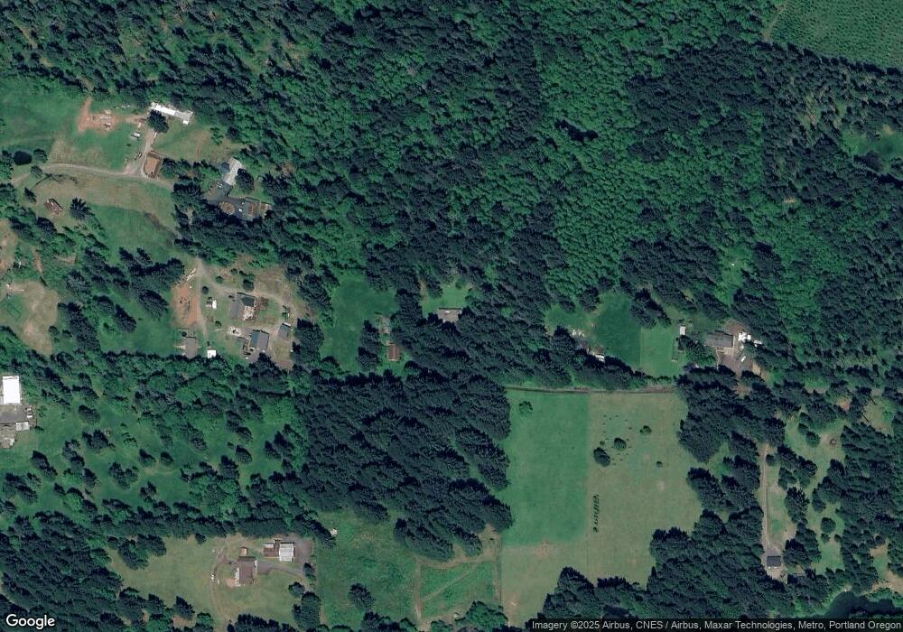
Map
Nearby Homes
- 22035 SE Firwood Rd
- 42101 SE Locksmith Ln
- 23161 SE Bornstedt Rd
- 23320 SE Firwood Rd
- 21385 SE Firwood Rd
- 23660 SE Firwood Rd
- 42970 SE Music Camp Rd
- 38960 SE Rude Rd
- 41800 Deschutes Ave Unit 86A
- 41790 Deschutes Ave Unit 87B
- 18935 Crooked River St Unit 49
- 18970 Crooked River St Unit 52
- 18905 Crooked River St Unit 46
- 41865 Deschutes Ave Unit 61
- 41920 Deschutes Ave
- 38800 SE Rude Rd
- 38100 SE Trubel Rd
- 19124 SE Jacoby Rd
- 41945 Deschutes Ave Unit 74
- 38859 Jerger St
- 40125 SE Paul Moore Rd
- 41141 SE Cornog Rd
- 40675 SE Allgeier Rd
- 40121 SE Paul Moore Rd
- 40115 SE Paul Moore Rd
- 40010 SE Paul Moore Rd
- 40707 SE Allgeier Rd
- 40050 SE Paul Moore Rd
- 40919 SE Allgeier Rd
- 41400 SE Cornog Rd
- 41281 SE Allgeier Rd
- 41050 SE Allgeier Rd
- 40720 SE Allgeier Rd
- 40930 SE Allgeier Rd
- 40818 SE Trubel Rd
- 0 Allgeier
- 22191 SE Firwood Rd
- 41505 SE Allgeier Rd
- 41465 SE Allgeier Rd
- 21300 SE Langensand Rd
Your Personal Tour Guide
Ask me questions while you tour the home.