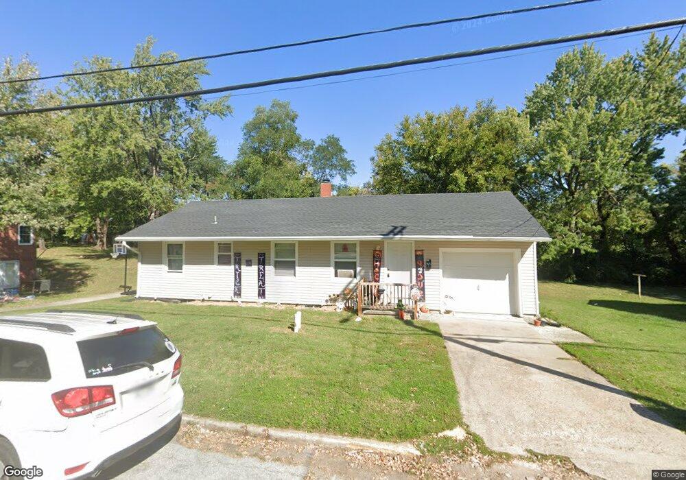
409 Anderson St Warrensburg, MO 64093
Estimated Value: $147,437 - $186,000
Studio
--
Bath
1,310
Sq Ft
$133/Sq Ft
Est. Value
About This Home
This home is located at 409 Anderson St, Warrensburg, MO 64093 and is currently estimated at $174,859, approximately $133 per square foot. 409 Anderson St is a home located in Johnson County with nearby schools including Maple Grove Elementary School, Martin Warren Elementary School, and Warrensburg Middle School.
Ownership History
Date
Name
Owned For
Owner Type
Purchase Details
Closed on
Nov 22, 2024
Sold by
Moore Austin L
Bought by
Adm Property Holdings Llc
Current Estimated Value
Purchase Details
Closed on
Oct 26, 2022
Sold by
Unknown
Bought by
Moore Austin L
Purchase Details
Closed on
Dec 1, 2021
Sold by
Myers Brandon R and Myers Alicia
Bought by
Moore Austin and Moore Madison
Home Financials for this Owner
Home Financials are based on the most recent Mortgage that was taken out on this home.
Original Mortgage
$109,600
Interest Rate
2.33%
Mortgage Type
New Conventional
Create a Home Valuation Report for This Property
The Home Valuation Report is an in-depth analysis detailing your home's value as well as a comparison with similar homes in the area
Home Values in the Area
Average Home Value in this Area
Purchase History
| Date | Buyer | Sale Price | Title Company |
|---|---|---|---|
| Adm Property Holdings Llc | -- | None Listed On Document | |
| Adm Property Holdings Llc | -- | None Listed On Document | |
| Moore Austin L | -- | -- | |
| Moore Austin | -- | Truman Title Inc |
Source: Public Records
Mortgage History
| Date | Status | Borrower | Loan Amount |
|---|---|---|---|
| Previous Owner | Moore Austin | $109,600 |
Source: Public Records
Tax History
| Year | Tax Paid | Tax Assessment Tax Assessment Total Assessment is a certain percentage of the fair market value that is determined by local assessors to be the total taxable value of land and additions on the property. | Land | Improvement |
|---|---|---|---|---|
| 2025 | $981 | $13,072 | $0 | $0 |
| 2024 | $926 | $12,131 | $0 | $0 |
| 2023 | $926 | $12,131 | $0 | $0 |
| 2022 | $897 | $11,699 | $0 | $0 |
| 2021 | $894 | $11,699 | $0 | $0 |
| 2020 | $871 | $11,265 | $0 | $0 |
| 2019 | $870 | $11,265 | $0 | $0 |
| 2017 | $868 | $11,265 | $0 | $0 |
| 2016 | $800 | $11,265 | $0 | $0 |
| 2015 | $821 | $11,265 | $0 | $0 |
| 2014 | -- | $11,265 | $0 | $0 |
Source: Public Records
Map
Nearby Homes
- 133 N Water St
- 300 Zoll St
- 612 Christopher St
- 611 S Maguire St
- 623 Christopher St
- 311 Franklin Ave
- 700 E Clark St
- 1008 Anderson St
- 432 E Market St
- 713 Tyler Ave
- 109 Commercial St
- 408 E Gay St
- 103 N Mitchell St
- 530 Hamilton St
- 201 E Culton 203 N College St
- 709 S Holden St
- 903 E Clark St
- 115 Ming St
- 428 Swallow N A
- 300 9th St
- 411 Anderson St
- 407 Anderson St
- 405 Anderson St
- 413 Anderson St
- 408 Christopher St
- 410 Anderson St
- 410 Christopher St
- 406 Anderson St
- 403 Anderson St
- 415 1/2 Anderson St
- 415 Anderson St
- 412 Anderson St
- 412 Christopher St
- 404 Anderson St
- 428 Anderson St
- 418 Christopher St
- 339 Christopher St
- 337 Christopher St
- 341 Christopher St
- 409 Christopher St
Your Personal Tour Guide
Ask me questions while you tour the home.