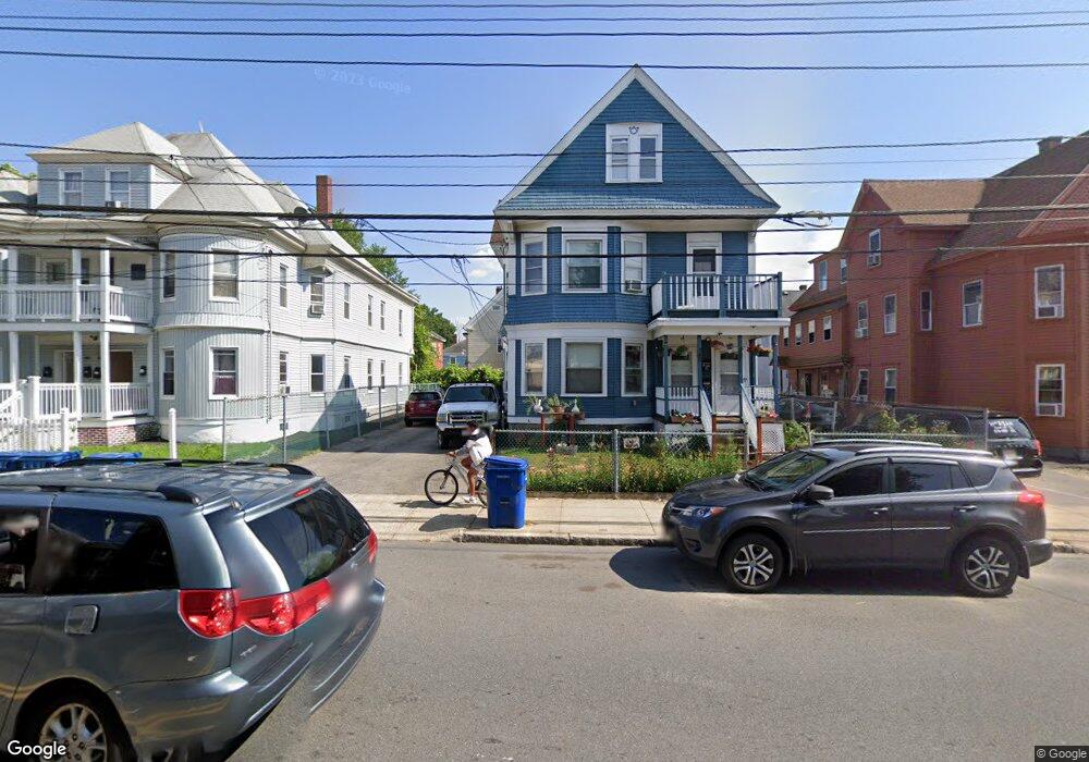
409 Andover St Unit 411 Lawrence, MA 01843
South West NeighborhoodEstimated Value: $639,256 - $747,000
4
Beds
2
Baths
2,484
Sq Ft
$281/Sq Ft
Est. Value
About This Home
This home is located at 409 Andover St Unit 411, Lawrence, MA 01843 and is currently estimated at $697,564, approximately $280 per square foot. 409 Andover St Unit 411 is a home located in Essex County with nearby schools including Olive Branch Elementary School, John Breen School, and School For Exceptional Studies.
Ownership History
Date
Name
Owned For
Owner Type
Purchase Details
Closed on
Feb 12, 1997
Sold by
Ead George J
Bought by
Guzman Ernesto
Current Estimated Value
Home Financials for this Owner
Home Financials are based on the most recent Mortgage that was taken out on this home.
Original Mortgage
$62,271
Outstanding Balance
$7,065
Interest Rate
7.6%
Mortgage Type
Purchase Money Mortgage
Estimated Equity
$690,499
Create a Home Valuation Report for This Property
The Home Valuation Report is an in-depth analysis detailing your home's value as well as a comparison with similar homes in the area
Home Values in the Area
Average Home Value in this Area
Purchase History
| Date | Buyer | Sale Price | Title Company |
|---|---|---|---|
| Guzman Ernesto | $62,500 | -- |
Source: Public Records
Mortgage History
| Date | Status | Borrower | Loan Amount |
|---|---|---|---|
| Open | Guzman Ernesto | $20,000 | |
| Closed | Guzman Ernesto | $8,399 | |
| Open | Guzman Ernesto | $62,271 |
Source: Public Records
Tax History Compared to Growth
Tax History
| Year | Tax Paid | Tax Assessment Tax Assessment Total Assessment is a certain percentage of the fair market value that is determined by local assessors to be the total taxable value of land and additions on the property. | Land | Improvement |
|---|---|---|---|---|
| 2025 | $5,300 | $602,300 | $99,500 | $502,800 |
| 2024 | $5,018 | $542,500 | $107,700 | $434,800 |
| 2023 | $5,158 | $507,700 | $99,900 | $407,800 |
| 2022 | $4,695 | $410,400 | $90,500 | $319,900 |
| 2021 | $4,573 | $372,700 | $90,500 | $282,200 |
| 2020 | $4,396 | $353,700 | $85,800 | $267,900 |
| 2019 | $4,218 | $308,300 | $71,300 | $237,000 |
| 2018 | $3,855 | $269,200 | $67,500 | $201,700 |
| 2017 | $3,571 | $232,800 | $63,800 | $169,000 |
| 2016 | $3,498 | $225,500 | $52,500 | $173,000 |
| 2015 | $3,431 | $226,900 | $52,500 | $174,400 |
Source: Public Records
Map
Nearby Homes
- 49 Bowdoin St Unit 51
- 19 Front St
- 91-93 Newton St
- 629 Andover St
- 132-134 S Broadway
- 13 Kingston St
- 82 S Broadway
- 24 Inman St Unit 32
- 11 W Hawley St
- 5 W Kenneth St
- 15 Beaconsfield St
- 91 Farnham St
- 33 Jefferson St
- 27-29 Dorchester St
- 54 Amherst St
- 8 Packard St
- 42 Beresford St
- 356-360 S Union St
- 5 Lafayette Ave
- 34 Leeds Terrace
- 415 Andover St Unit 417
- 403 Andover St
- 8 Brookfield St
- 29 Bowdoin St Unit 31
- 33 Bowdoin St Unit 35
- 33-35 Bowdoin St
- 419 Andover St Unit 421
- 46 Brookfield St
- 4-6 Brookfield St
- 399 Andover St Unit 401
- 39.5-43 Bowdoin St
- 37 Bowdoin St Unit 39
- 410 Andover St
- 39 Bowdoin St Unit 43
- 15-17 Bowdoin St
- 15 Bowdoin St Unit 17
- 418 Andover St
- 427 Andover St Unit 429
- 36 Bowdoin St Unit 38
- 32-34 Bowdoin St