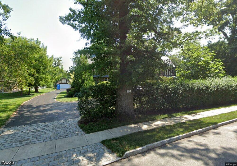
409 Baird Rd Merion Station, PA 19066
Estimated Value: $1,373,000 - $1,944,341
7
Beds
5
Baths
6,045
Sq Ft
$273/Sq Ft
Est. Value
About This Home
This home is located at 409 Baird Rd, Merion Station, PA 19066 and is currently estimated at $1,652,585, approximately $273 per square foot. 409 Baird Rd is a home located in Montgomery County with nearby schools including Merion Elementary School, Bala-Cynwyd Middle School, and Lower Merion High School.
Ownership History
Date
Name
Owned For
Owner Type
Purchase Details
Closed on
Nov 10, 2003
Sold by
June Carl H
Bought by
June Carl H and Speicher Lisa A
Current Estimated Value
Home Financials for this Owner
Home Financials are based on the most recent Mortgage that was taken out on this home.
Original Mortgage
$516,300
Outstanding Balance
$239,025
Interest Rate
5.98%
Estimated Equity
$1,413,560
Purchase Details
Closed on
Sep 14, 1999
Sold by
Harman Richard A and Harman Patricia A
Bought by
June Carl H and June Cynthia R
Create a Home Valuation Report for This Property
The Home Valuation Report is an in-depth analysis detailing your home's value as well as a comparison with similar homes in the area
Home Values in the Area
Average Home Value in this Area
Purchase History
| Date | Buyer | Sale Price | Title Company |
|---|---|---|---|
| June Carl H | -- | First American Title Co | |
| June Carl H | $535,000 | -- |
Source: Public Records
Mortgage History
| Date | Status | Borrower | Loan Amount |
|---|---|---|---|
| Open | June Carl H | $516,300 |
Source: Public Records
Tax History Compared to Growth
Tax History
| Year | Tax Paid | Tax Assessment Tax Assessment Total Assessment is a certain percentage of the fair market value that is determined by local assessors to be the total taxable value of land and additions on the property. | Land | Improvement |
|---|---|---|---|---|
| 2025 | $27,203 | $651,360 | $119,510 | $531,850 |
| 2024 | $27,203 | $651,360 | $119,510 | $531,850 |
| 2023 | $26,068 | $651,360 | $119,510 | $531,850 |
| 2022 | $25,585 | $651,360 | $119,510 | $531,850 |
| 2021 | $25,003 | $651,360 | $119,510 | $531,850 |
| 2020 | $24,392 | $651,360 | $119,510 | $531,850 |
| 2019 | $23,961 | $651,360 | $119,510 | $531,850 |
| 2018 | $23,961 | $651,360 | $119,510 | $531,850 |
| 2017 | $23,081 | $651,360 | $119,510 | $531,850 |
| 2016 | $22,827 | $651,360 | $119,510 | $531,850 |
| 2015 | $21,283 | $651,360 | $119,510 | $531,850 |
| 2014 | $21,283 | $651,360 | $119,510 | $531,850 |
Source: Public Records
Map
Nearby Homes
- 146 Merion Ave
- 142 Merion Ave
- 662 S Highland Ave
- 122 Merion Ave
- 156 Idris Rd
- 410 E Wynnewood Rd
- 421 Parkview Dr
- 415 Parkview Dr
- 216 N Narberth Ave
- 121 Conway Ave
- 317 Woodbine Ave
- 508 Lafayette Rd
- 415 City Ave Unit I-2
- 415 City Ave Unit H2
- 314 Dudley Ave Unit 25
- 206 Price Ave Unit 2
- 40 Old Lancaster Rd Unit 605
- 40 Old Lancaster Rd Unit 215
- 40 Old Lancaster Rd Unit 302
- 251 Stoneway Ln