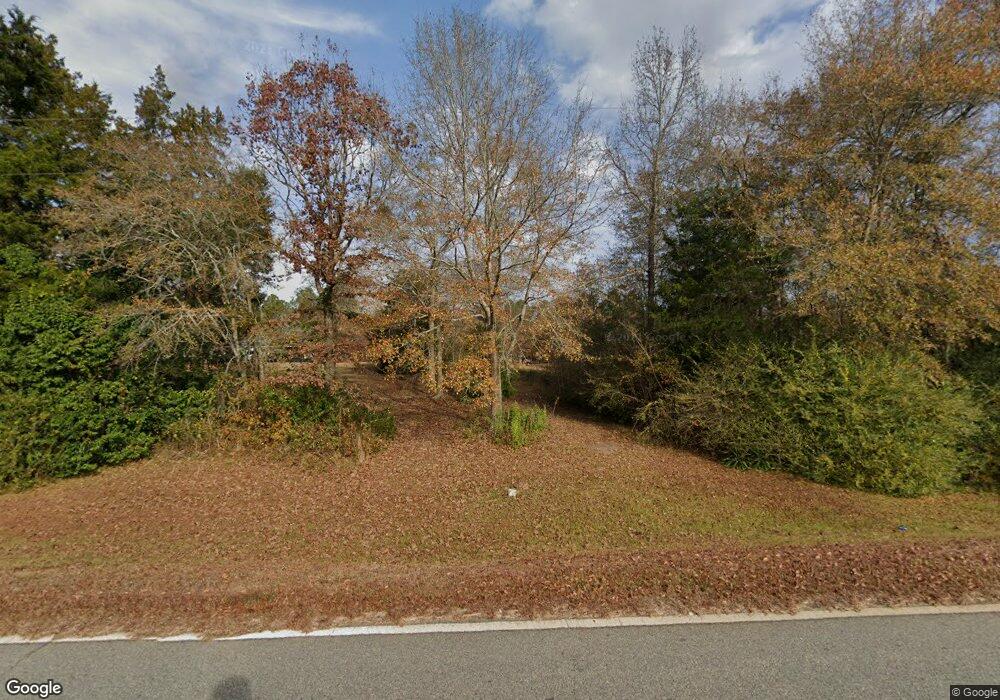
409 Barrett Rd Hawkinsville, GA 31036
Estimated Value: $195,000 - $297,255
--
Bed
--
Bath
1,200
Sq Ft
$211/Sq Ft
Est. Value
About This Home
This home is located at 409 Barrett Rd, Hawkinsville, GA 31036 and is currently estimated at $253,314, approximately $211 per square foot. 409 Barrett Rd is a home with nearby schools including Kings Chapel Elementary School, Perry Middle School, and Perry High School.
Ownership History
Date
Name
Owned For
Owner Type
Purchase Details
Closed on
Mar 10, 2008
Sold by
Grove John D
Bought by
Cook Robin M
Current Estimated Value
Home Financials for this Owner
Home Financials are based on the most recent Mortgage that was taken out on this home.
Original Mortgage
$32,175
Interest Rate
5.62%
Mortgage Type
Purchase Money Mortgage
Purchase Details
Closed on
Jan 25, 2002
Sold by
Southern Timber Company
Bought by
Grove John D
Create a Home Valuation Report for This Property
The Home Valuation Report is an in-depth analysis detailing your home's value as well as a comparison with similar homes in the area
Home Values in the Area
Average Home Value in this Area
Purchase History
| Date | Buyer | Sale Price | Title Company |
|---|---|---|---|
| Cook Robin M | $35,800 | None Available | |
| Grove John D | $19,900 | -- |
Source: Public Records
Mortgage History
| Date | Status | Borrower | Loan Amount |
|---|---|---|---|
| Closed | Cook Robin M | $32,175 |
Source: Public Records
Tax History Compared to Growth
Tax History
| Year | Tax Paid | Tax Assessment Tax Assessment Total Assessment is a certain percentage of the fair market value that is determined by local assessors to be the total taxable value of land and additions on the property. | Land | Improvement |
|---|---|---|---|---|
| 2024 | -- | $95,600 | $27,920 | $67,680 |
| 2023 | $831 | $34,400 | $18,600 | $15,800 |
| 2022 | $450 | $18,600 | $18,600 | $0 |
| 2021 | $350 | $16,440 | $16,440 | $0 |
| 2020 | $301 | $12,320 | $12,320 | $0 |
| 2019 | $301 | $12,320 | $12,320 | $0 |
| 2018 | $301 | $12,320 | $12,320 | $0 |
| 2017 | $301 | $12,320 | $12,320 | $0 |
| 2016 | $301 | $12,320 | $12,320 | $0 |
| 2015 | $302 | $12,320 | $12,320 | $0 |
| 2014 | -- | $12,320 | $12,320 | $0 |
| 2013 | -- | $12,320 | $12,320 | $0 |
Source: Public Records
Map
Nearby Homes
- 4 Cypress Creek
- 52 Walden Way
- 311 Henson Rd
- 302 E Flournoy Rd
- 305 E Flournoy Rd
- 000 E Flournoy Rd
- 1610 Columbus Hwy
- 1513 Columbus Hwy
- 1075 Wimberly Rd
- 4.13 +/- acres Pitts Rd
- 759 Pitts Rd
- 103 Thunder Rd
- LOT 10&11 Camden Way
- 43 Crabapple Dr
- V/L Crabapple Dr
- 93 Camden Way
- 0 Flournoy Rd Unit 10620581
- 0 Flournoy Rd Unit 256441
- 0 Flournoy Rd Unit 250816
- 0 Flournoy Rd Unit 250814
- 361 Barrett Rd
- 360 Barrett Rd
- 352 Barrett Rd
- 451 Barrett Rd
- 329 Barrett Rd
- 321 Barrett Rd
- 364 Barrett Rd
- 501 Barrett Rd
- 412 Barrett Rd
- 506 Barrett Rd Unit LotWP001
- 506 Barrett Rd
- 603 Barrett Rd
- 603 Barrett Rd
- 309 Barrett Rd
- 852 Klondike Rd
- 419 Barrett Rd
- 430 Barrett Rd
- 888 Klondike Rd
- 310 Barrett Rd
- 848 Klondike Rd
