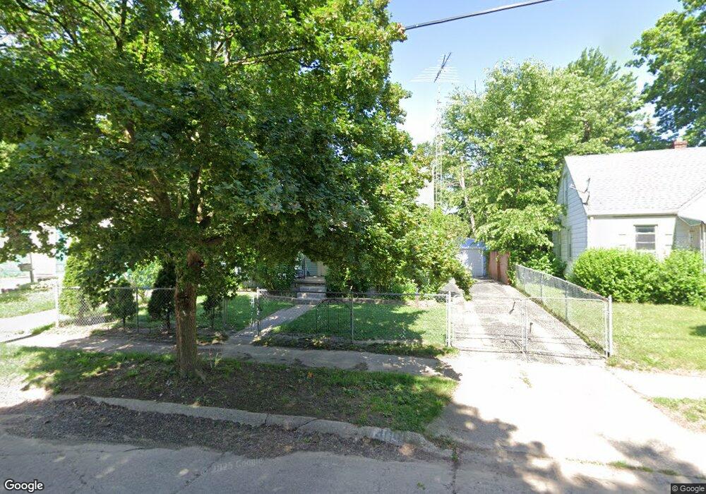
409 Bede St Flint, MI 48507
Circle Drive NeighborhoodEstimated Value: $67,742 - $88,000
3
Beds
1
Bath
932
Sq Ft
$84/Sq Ft
Est. Value
About This Home
This home is located at 409 Bede St, Flint, MI 48507 and is currently estimated at $77,936, approximately $83 per square foot. 409 Bede St is a home located in Genesee County with nearby schools including Freeman Elementary School, Flint Southwestern Classical Academy, and International Academy of Flint (K-12).
Ownership History
Date
Name
Owned For
Owner Type
Purchase Details
Closed on
May 16, 2006
Sold by
Kincaid Derrick S
Bought by
Powell Jeff and Powell Elisa
Current Estimated Value
Home Financials for this Owner
Home Financials are based on the most recent Mortgage that was taken out on this home.
Original Mortgage
$74,569
Outstanding Balance
$43,581
Interest Rate
6.56%
Mortgage Type
VA
Estimated Equity
$34,355
Purchase Details
Closed on
Mar 6, 2001
Sold by
Vancil Melvin A and Vancil Amelia
Bought by
Kincaid Derrick S
Create a Home Valuation Report for This Property
The Home Valuation Report is an in-depth analysis detailing your home's value as well as a comparison with similar homes in the area
Home Values in the Area
Average Home Value in this Area
Purchase History
| Date | Buyer | Sale Price | Title Company |
|---|---|---|---|
| Powell Jeff | $73,000 | Garrow Title Agency | |
| Kincaid Derrick S | $55,000 | Guaranty Title Company |
Source: Public Records
Mortgage History
| Date | Status | Borrower | Loan Amount |
|---|---|---|---|
| Open | Powell Jeff | $74,569 |
Source: Public Records
Tax History
| Year | Tax Paid | Tax Assessment Tax Assessment Total Assessment is a certain percentage of the fair market value that is determined by local assessors to be the total taxable value of land and additions on the property. | Land | Improvement |
|---|---|---|---|---|
| 2025 | $1,005 | $26,200 | $0 | $0 |
| 2024 | $910 | $26,200 | $0 | $0 |
| 2023 | $893 | $20,300 | $0 | $0 |
| 2022 | $0 | $16,300 | $0 | $0 |
| 2021 | $929 | $15,800 | $0 | $0 |
| 2020 | $837 | $14,200 | $0 | $0 |
| 2019 | $815 | $11,800 | $0 | $0 |
| 2018 | $825 | $11,700 | $0 | $0 |
| 2017 | $831 | $0 | $0 | $0 |
| 2016 | $826 | $0 | $0 | $0 |
| 2015 | -- | $0 | $0 | $0 |
| 2014 | -- | $0 | $0 | $0 |
| 2012 | -- | $16,100 | $0 | $0 |
Source: Public Records
Map
Nearby Homes
- 338 Browning Ave
- 4526 Milton Dr
- 4205 Red Arrow Rd
- 4127 Custer Ave
- 326 Burroughs Ave
- 352 Buckingham Ave
- 530 McKeighan Ave
- 621 Lochhead Ave
- 1453 Carman St
- 621 Burroughs Ave
- 1450 Carman St
- 630 Buckingham Ave
- 723 McKeighan Ave
- 802 McKeighan Ave
- 1388 Carman St
- 3512 Barcey Ct
- 3902 Cuthbertson St
- 2194 E Bristol Rd
- 1457 E Bristol Rd
- 3614 Comanche Ave
- 405 Bede St
- 413 Bede St
- 346 Browning Ave
- 401 Bede St
- 342 Browning Ave
- 4318 Pengelly Rd
- 4310 Pengelly Rd
- 4501 Keats St
- 354 Browning Ave
- 349 Bede St
- 4306 Pengelly Rd
- 334 Browning Ave
- 4406 Pengelly Rd
- 4505 Keats St
- 345 Bede St
- 330 Browning Ave
- 4302 Pengelly Rd
- 347 Browning Ave
- 341 Bede St
- 341 Browning Ave