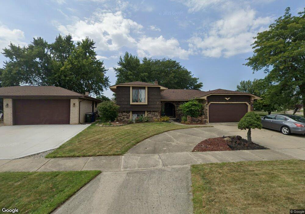
409 Brittany Dr Canton, MI 48187
Estimated Value: $368,614 - $429,000
Studio
3
Baths
2,152
Sq Ft
$188/Sq Ft
Est. Value
About This Home
This home is located at 409 Brittany Dr, Canton, MI 48187 and is currently estimated at $404,404, approximately $187 per square foot. 409 Brittany Dr is a home located in Wayne County with nearby schools including Canton High School, Discovery Middle School, and Salem High School.
Ownership History
Date
Name
Owned For
Owner Type
Purchase Details
Closed on
Jul 1, 2021
Sold by
Patel Siddharth R
Bought by
Patel Siddharth R and Patel Shruti Rajesh
Current Estimated Value
Home Financials for this Owner
Home Financials are based on the most recent Mortgage that was taken out on this home.
Original Mortgage
$173,528
Outstanding Balance
$132,622
Interest Rate
2.9%
Mortgage Type
New Conventional
Estimated Equity
$271,782
Purchase Details
Closed on
Feb 10, 2016
Sold by
Zoladz James A and Zoladz Dennis Robert
Bought by
Patel Siddharth R
Create a Home Valuation Report for This Property
The Home Valuation Report is an in-depth analysis detailing your home's value as well as a comparison with similar homes in the area
Home Values in the Area
Average Home Value in this Area
Purchase History
| Date | Buyer | Sale Price | Title Company |
|---|---|---|---|
| Patel Siddharth R | -- | Jct | |
| Patel Siddharth R | $204,000 | Title Express Llc |
Source: Public Records
Mortgage History
| Date | Status | Borrower | Loan Amount |
|---|---|---|---|
| Open | Patel Siddharth R | $173,528 |
Source: Public Records
Tax History
| Year | Tax Paid | Tax Assessment Tax Assessment Total Assessment is a certain percentage of the fair market value that is determined by local assessors to be the total taxable value of land and additions on the property. | Land | Improvement |
|---|---|---|---|---|
| 2025 | $2,457 | $191,700 | $0 | $0 |
| 2024 | $2,387 | $175,200 | $0 | $0 |
| 2023 | $2,275 | $155,700 | $0 | $0 |
| 2022 | $4,979 | $136,800 | $0 | $0 |
| 2021 | $4,831 | $135,100 | $0 | $0 |
| 2020 | $4,771 | $129,200 | $0 | $0 |
| 2019 | $4,683 | $118,460 | $0 | $0 |
| 2018 | $1,934 | $109,790 | $0 | $0 |
| 2017 | $4,882 | $108,800 | $0 | $0 |
| 2016 | $3,192 | $111,300 | $0 | $0 |
| 2015 | $7,852 | $99,730 | $0 | $0 |
| 2013 | $7,607 | $79,070 | $0 | $0 |
| 2010 | -- | $87,280 | $48,501 | $38,779 |
Source: Public Records
Map
Nearby Homes
- 43818 Palisades Dr
- 43846 Cherry Grove Ct E
- 321 Cherry Grove Rd
- 446 Cherry Stone Dr Unit 54
- 1211 W Franciscan Ct
- 241 Edington Cir
- 1399 Elmhurst St
- 215 Edington Cir
- 42789 Lilley Pointe Dr Unit 146
- 42739 Lilley Pointe Dr Unit 119
- 42745 Redfern St
- 42714 Lilley Pointe Dr Unit 213
- 45005 Saltz Rd
- 45246 Gerald Ct
- 45169 Middlebury Ln
- 1399 Copeland Cir
- 1822 N Sheldon Rd
- 1680 Manton Blvd
- 58560 Stuart Dr
- 44497 Savery Dr Unit 103
- 43857 Palisades Dr
- 265 Brittany Dr
- 43865 Palisades Dr
- 253 Brittany Dr
- 44062 Harsdale Dr
- 408 Brittany Dr
- 44048 Harsdale Dr
- 43877 Palisades Dr
- 264 Brittany Dr
- 241 Brittany Dr
- 43848 Palisades Dr
- 43830 Palisades Dr
- 252 Brittany Dr
- 43866 Palisades Dr
- 44034 Harsdale Dr
- 43901 Palisades Dr
- 229 Brittany Dr
- 43818 Palisades Dr Unit Bldg-Unit
- 44104 Harsdale Dr
- 240 Brittany Dr
Your Personal Tour Guide
Ask me questions while you tour the home.