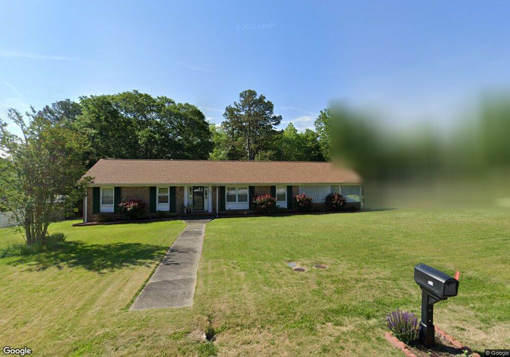
409 Confederate Cir Taylors, SC 29687
Estimated Value: $283,559 - $321,000
3
Beds
2
Baths
1,592
Sq Ft
$187/Sq Ft
Est. Value
About This Home
This home is located at 409 Confederate Cir, Taylors, SC 29687 and is currently estimated at $297,640, approximately $186 per square foot. 409 Confederate Cir is a home located in Greenville County with nearby schools including Brook Glenn Elementary School, Northwood Middle School, and Eastside High School.
Ownership History
Date
Name
Owned For
Owner Type
Purchase Details
Closed on
May 15, 2009
Sold by
Merrill Robert A
Bought by
Fields Paul D and Fields Marla
Current Estimated Value
Home Financials for this Owner
Home Financials are based on the most recent Mortgage that was taken out on this home.
Original Mortgage
$95,950
Interest Rate
4.79%
Mortgage Type
New Conventional
Purchase Details
Closed on
Dec 15, 2008
Sold by
Merrill Robert A and Merrill Joan A
Bought by
Merrill Robert A
Create a Home Valuation Report for This Property
The Home Valuation Report is an in-depth analysis detailing your home's value as well as a comparison with similar homes in the area
Home Values in the Area
Average Home Value in this Area
Purchase History
| Date | Buyer | Sale Price | Title Company |
|---|---|---|---|
| Fields Paul D | $125,950 | -- | |
| Merrill Robert A | -- | -- | |
| Merrill Robert A | -- | -- |
Source: Public Records
Mortgage History
| Date | Status | Borrower | Loan Amount |
|---|---|---|---|
| Closed | Fields Paul D | $95,950 |
Source: Public Records
Tax History Compared to Growth
Tax History
| Year | Tax Paid | Tax Assessment Tax Assessment Total Assessment is a certain percentage of the fair market value that is determined by local assessors to be the total taxable value of land and additions on the property. | Land | Improvement |
|---|---|---|---|---|
| 2024 | $610 | $4,860 | $920 | $3,940 |
| 2023 | $610 | $4,860 | $920 | $3,940 |
| 2022 | $566 | $4,860 | $920 | $3,940 |
| 2021 | $635 | $4,860 | $920 | $3,940 |
| 2020 | $634 | $4,650 | $920 | $3,730 |
| 2019 | $1,120 | $4,650 | $920 | $3,730 |
| 2018 | $1,596 | $4,650 | $920 | $3,730 |
| 2017 | $2,528 | $6,970 | $1,380 | $5,590 |
| 2016 | $2,450 | $116,210 | $23,000 | $93,210 |
| 2015 | $2,352 | $116,210 | $23,000 | $93,210 |
| 2014 | $2,420 | $122,350 | $23,000 | $99,350 |
Source: Public Records
Map
Nearby Homes
- 212 Trent Dr
- 2407 E Lee Rd
- 338 Shallow Dr
- 20 Buckingham Way
- 616 Heathwood Dr
- 614 Gray Fox Square
- 107 Selton Place Unit FP 19 Teton B
- 122 Selton Place Unit FP 30 Teton B
- 121 Selton Place Unit FP 26 Teton A1E
- 125 Selton Place
- 123 Selton Place Unit FP 27 Teton B
- 125 Selton Place Unit FP 28 Teton A1E
- 3 Timber Creek Ct
- 201 Walker Springs Rd
- 101 Meadowview Dr
- 153 White Bark Way
- 26 Harvest Bell Ln
- 620 Creighton Dr
- 103 Woodleigh Dr
- 102 Crowndale Dr
- 407 Confederate Cir
- 416 Confederate Cir
- 304 Pine Branch Dr
- 501 Confederate Cir
- 414 Confederate Cir
- 307 Pine Branch Dr
- 418 Confederate Cir
- 500 Confederate Cir
- 412 Confederate Cir
- 305 Pine Branch Dr
- 502 Confederate Cir
- 410 Confederate Cir
- 302 Pine Branch Dr
- 303 Pine Branch Dr
- 906 Avon Dr
- 503 Confederate Cir
- 904 Avon Dr
- 408 Confederate Cir
- 902 Avon Dr
- 401 Confederate Cir