409 Groveland Dr Unit 2 Winder, GA 30680
Estimated Value: $223,343 - $279,000
--
Bed
2
Baths
1,225
Sq Ft
$205/Sq Ft
Est. Value
About This Home
This home is located at 409 Groveland Dr Unit 2, Winder, GA 30680 and is currently estimated at $251,586, approximately $205 per square foot. 409 Groveland Dr Unit 2 is a home located in Barrow County with nearby schools including County Line Elementary School, Russell Middle School, and Winder-Barrow High School.
Ownership History
Date
Name
Owned For
Owner Type
Purchase Details
Closed on
Jan 31, 2001
Sold by
Barrow Cty Habitat For Humanity
Bought by
Moedio Kathy
Current Estimated Value
Home Financials for this Owner
Home Financials are based on the most recent Mortgage that was taken out on this home.
Original Mortgage
$44,844
Interest Rate
7.18%
Mortgage Type
New Conventional
Purchase Details
Closed on
Oct 27, 1999
Sold by
Bryler Homes Inc
Bought by
Barrow County Habita
Purchase Details
Closed on
Jun 14, 1999
Sold by
Smith Ellen M
Bought by
Bryler Homes Inc
Create a Home Valuation Report for This Property
The Home Valuation Report is an in-depth analysis detailing your home's value as well as a comparison with similar homes in the area
Home Values in the Area
Average Home Value in this Area
Purchase History
| Date | Buyer | Sale Price | Title Company |
|---|---|---|---|
| Moedio Kathy | $75,800 | -- | |
| Barrow County Habita | $22,000 | -- | |
| Bryler Homes Inc | $20,000 | -- |
Source: Public Records
Mortgage History
| Date | Status | Borrower | Loan Amount |
|---|---|---|---|
| Closed | Moedio Kathy | $44,844 |
Source: Public Records
Tax History Compared to Growth
Tax History
| Year | Tax Paid | Tax Assessment Tax Assessment Total Assessment is a certain percentage of the fair market value that is determined by local assessors to be the total taxable value of land and additions on the property. | Land | Improvement |
|---|---|---|---|---|
| 2024 | $454 | $59,419 | $14,800 | $44,619 |
| 2023 | $326 | $59,819 | $14,800 | $45,019 |
| 2022 | $365 | $45,062 | $8,000 | $37,062 |
| 2021 | $355 | $42,534 | $8,000 | $34,534 |
| 2020 | $273 | $36,212 | $8,000 | $28,212 |
| 2019 | $255 | $33,684 | $8,000 | $25,684 |
| 2018 | $230 | $33,684 | $8,000 | $25,684 |
| 2017 | $857 | $29,418 | $8,000 | $21,418 |
| 2016 | $176 | $29,663 | $8,000 | $21,663 |
| 2015 | $180 | $29,907 | $8,000 | $21,907 |
| 2014 | $112 | $27,395 | $5,488 | $21,907 |
| 2013 | -- | $26,344 | $5,488 | $20,856 |
Source: Public Records
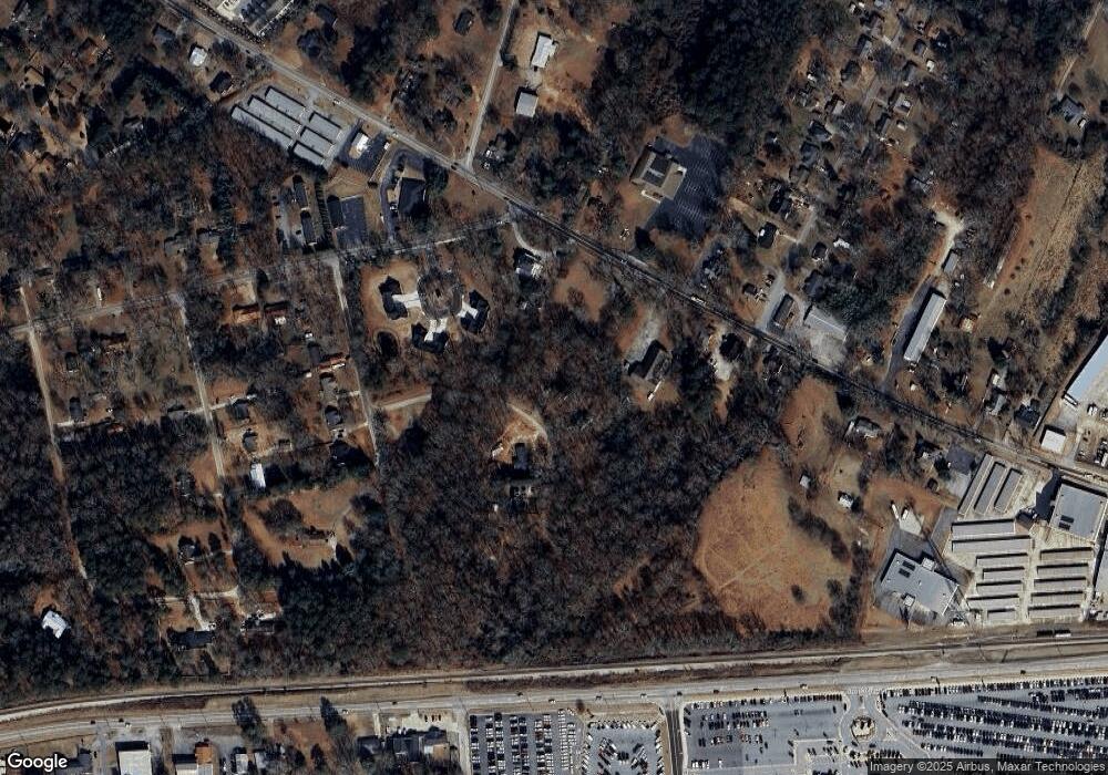
Map
Nearby Homes
- 110 Mears St
- 221 Highway 211 NW
- 121 Cannondale Dr
- 24 Caison Dr
- 108 Cannondale Dr
- 128 Mcneal Rd
- 98 Cannondale Dr
- 72 Garrison Dr
- 66 Garrison Dr
- 62 Garrison Dr
- 244 Bayou Ln Unit 1
- 49 Cannondale Dr
- 0 Bill Rutledge Rd Unit 10591503
- 0 Bill Rutledge Rd Unit 7630436
- 16 Garrison Dr
- 74 Cannon Trace Dr
- 281 Hillside Dr
- The Cary A Plan at Lake Shore
- The Marion A Plan at Lake Shore
- 281 Springdale Dr
- 407 Groveland Dr
- 400 Groveland Dr Unit 2
- 294 Cedar Creek Rd NW
- 274 Highway 211 NW
- 306 Orchard Way
- 254 Highway 211 NW
- 250 Highway 211 NW
- 0 Groveland Dr S Unit 7154619
- 0 Groveland Dr S Unit 10117381
- 0 Groveland Dr S Unit 9076817
- 00 Groveland Dr S
- 275 Highway 211 NW
- 242 Highway 211 NW
- 100 Mears St
- 279 Highway 211 NW
- 0 Orchard Way
- 305 Orchard Way
- 307 Orchard Way Unit 1
- 303 Orchard Way
- 140 Cedar Creek Rd