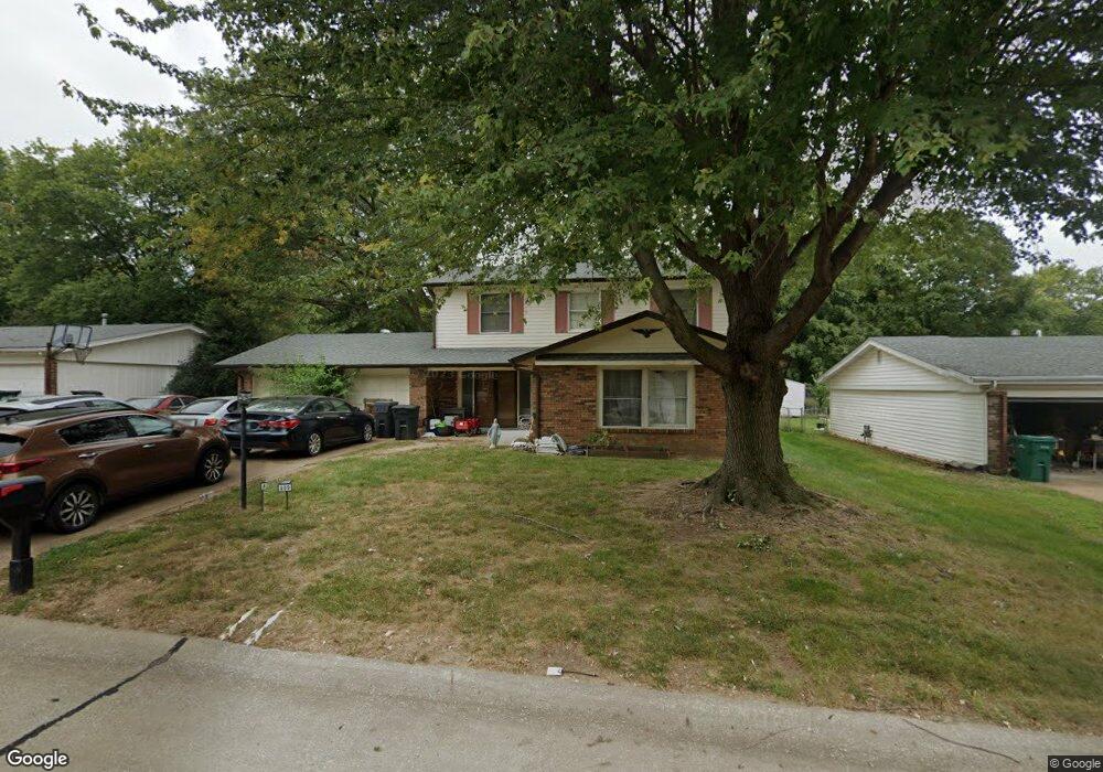
409 Harpers Ferry Dr Belleville, IL 62221
Estimated Value: $187,000 - $231,000
--
Bed
--
Bath
891
Sq Ft
$229/Sq Ft
Est. Value
About This Home
This home is located at 409 Harpers Ferry Dr, Belleville, IL 62221 and is currently estimated at $203,934, approximately $228 per square foot. 409 Harpers Ferry Dr is a home located in St. Clair County with nearby schools including Belle Valley Elementary School-North, Zion Lutheran School Belleville, and St Teresa Catholic School.
Ownership History
Date
Name
Owned For
Owner Type
Purchase Details
Closed on
May 8, 2002
Sold by
Dickey Timothy D and Dickey Shayna R
Bought by
Webb Michael A and Webb Angela M
Current Estimated Value
Home Financials for this Owner
Home Financials are based on the most recent Mortgage that was taken out on this home.
Original Mortgage
$116,176
Outstanding Balance
$50,125
Interest Rate
7.24%
Mortgage Type
FHA
Estimated Equity
$153,809
Create a Home Valuation Report for This Property
The Home Valuation Report is an in-depth analysis detailing your home's value as well as a comparison with similar homes in the area
Home Values in the Area
Average Home Value in this Area
Purchase History
| Date | Buyer | Sale Price | Title Company |
|---|---|---|---|
| Webb Michael A | $118,000 | -- |
Source: Public Records
Mortgage History
| Date | Status | Borrower | Loan Amount |
|---|---|---|---|
| Open | Webb Michael A | $116,176 |
Source: Public Records
Tax History Compared to Growth
Tax History
| Year | Tax Paid | Tax Assessment Tax Assessment Total Assessment is a certain percentage of the fair market value that is determined by local assessors to be the total taxable value of land and additions on the property. | Land | Improvement |
|---|---|---|---|---|
| 2024 | $4,694 | $55,534 | $6,532 | $49,002 |
| 2023 | $4,731 | $54,640 | $6,442 | $48,198 |
| 2022 | $4,504 | $49,763 | $5,867 | $43,896 |
| 2021 | $4,457 | $47,720 | $5,626 | $42,094 |
| 2020 | $4,374 | $44,442 | $5,240 | $39,202 |
| 2019 | $4,315 | $44,586 | $5,348 | $39,238 |
| 2018 | $4,169 | $43,447 | $5,211 | $38,236 |
| 2017 | $4,073 | $42,290 | $5,072 | $37,218 |
| 2016 | $4,071 | $40,832 | $4,897 | $35,935 |
| 2014 | $3,709 | $41,242 | $6,287 | $34,955 |
| 2013 | $4,334 | $41,242 | $6,287 | $34,955 |
Source: Public Records
Map
Nearby Homes
- 405 Todd Ln
- 747 Farragut Ct
- 372 Roanoke Dr
- 1420 Vicksburg Dr
- 0 Denvershire Dr
- 3313 Denvershire Dr
- 2077 Camrose Green St
- 2073 Camrose Green St
- 3300 Berwin Green Dr
- 300 Todd Ln
- 2069 Camrose Green St
- 2065 Camrose Green St
- 2061 Camrose Green St
- 3304 Berwin Green Dr
- 2057 Camrose Green St
- 2053 Camrose Green St
- 2049 Camrose Green St
- 2021 Camrose Green St
- 340 Roanoke Dr
- 2017 Camrose Green St
- 405 Harpers Ferry Dr
- 413 Harpers Ferry Dr
- 413 Harpers Ferry Rd
- 408 Bull Run Rd
- 404 Bull Run Rd
- 412 Bull Run Rd
- 401 Harpers Ferry Rd
- 408 Harpers Ferry Dr
- 401 Harpers Ferry Dr
- 1021 Vicksburg Dr
- 408 Harpers Ferry Rd
- 404 Harpers Ferry Dr
- 412 Harpers Ferry Dr
- 400 Bull Run Rd
- 1017 Vicksburg Dr
- 1029 Vicksburg Dr
- 400 Harpers Ferry Rd
- 400 Harpers Ferry Dr
- 417 Stone River Rd
- 409 Bull Run Rd