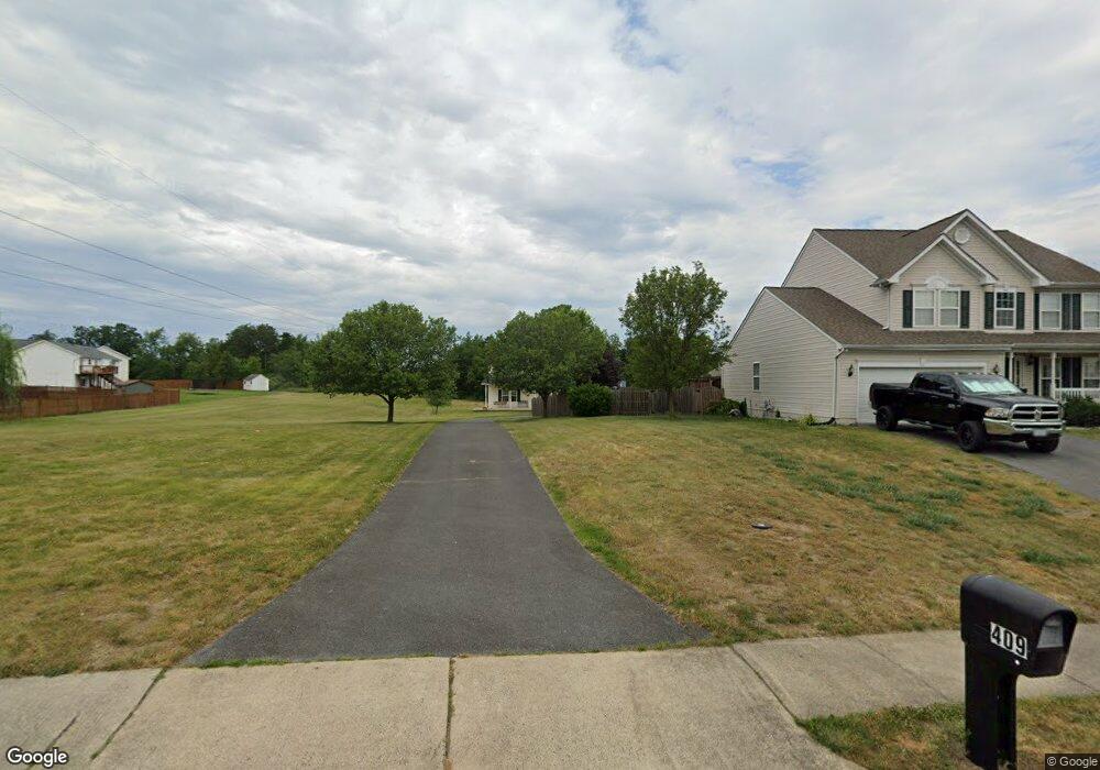
409 Lilys Way Winchester, VA 22602
Estimated Value: $484,000 - $514,000
4
Beds
3
Baths
2,180
Sq Ft
$226/Sq Ft
Est. Value
About This Home
This home is located at 409 Lilys Way, Winchester, VA 22602 and is currently estimated at $493,618, approximately $226 per square foot. 409 Lilys Way is a home located in Frederick County with nearby schools including James Wood Middle School, Millbrook High School, and Sharon's Centre.
Ownership History
Date
Name
Owned For
Owner Type
Purchase Details
Closed on
Apr 1, 2003
Sold by
Satian Enterprises
Bought by
Rector Jody
Current Estimated Value
Home Financials for this Owner
Home Financials are based on the most recent Mortgage that was taken out on this home.
Original Mortgage
$176,700
Outstanding Balance
$76,800
Interest Rate
5.91%
Mortgage Type
New Conventional
Estimated Equity
$416,818
Purchase Details
Closed on
Jul 10, 2002
Sold by
Shiho Inc
Bought by
Satian Enterprises Inc
Create a Home Valuation Report for This Property
The Home Valuation Report is an in-depth analysis detailing your home's value as well as a comparison with similar homes in the area
Home Values in the Area
Average Home Value in this Area
Purchase History
| Date | Buyer | Sale Price | Title Company |
|---|---|---|---|
| Rector Jody | $22,900 | -- | |
| Satian Enterprises Inc | $53,000 | -- |
Source: Public Records
Mortgage History
| Date | Status | Borrower | Loan Amount |
|---|---|---|---|
| Open | Rector Jody | $176,700 |
Source: Public Records
Tax History Compared to Growth
Tax History
| Year | Tax Paid | Tax Assessment Tax Assessment Total Assessment is a certain percentage of the fair market value that is determined by local assessors to be the total taxable value of land and additions on the property. | Land | Improvement |
|---|---|---|---|---|
| 2025 | $2,259 | $470,580 | $93,000 | $377,580 |
| 2024 | $1,029 | $403,700 | $77,000 | $326,700 |
| 2023 | $2,059 | $403,700 | $77,000 | $326,700 |
| 2022 | $2,012 | $329,800 | $72,000 | $257,800 |
| 2021 | $2,012 | $329,800 | $72,000 | $257,800 |
| 2020 | $1,839 | $301,400 | $72,000 | $229,400 |
| 2019 | $1,839 | $301,400 | $72,000 | $229,400 |
| 2018 | $1,717 | $281,400 | $72,000 | $209,400 |
| 2017 | $1,688 | $281,400 | $72,000 | $209,400 |
| 2016 | $1,550 | $258,300 | $59,500 | $198,800 |
| 2015 | $1,446 | $258,300 | $59,500 | $198,800 |
| 2014 | $698 | $237,000 | $54,500 | $182,500 |
Source: Public Records
Map
Nearby Homes
- 106 Foxglove Dr
- 0 7 Building Lots In Shawneeland Unit VAFV2032844
- 128 Teaberry Dr
- 114 Harold Ct
- 140 Mccormick Cir Unit 403
- 111 Pawn Ct
- 203 Lynnehaven Dr
- 151 Mccormick Cir Unit 203
- 151 Mccormick Cir Unit 201
- Carlisle Plan at Abrams Pointe
- Somerset Plan at Abrams Pointe
- Rockford Plan at Abrams Pointe
- Avalon Plan at Abrams Pointe
- 161 Williamson Rd
- Birmingham Plan at Abrams Pointe
- Drexel Plan at Abrams Pointe
- 101 Abrams Pointe Blvd
- Melody Plan at Abrams Pointe
- 0 Grocery Ave Unit VAFV2015654
- 114 Woodys Place