409 Michael Ct Branchburg, NJ 08876
Branchburg Township NeighborhoodEstimated Value: $952,589 - $1,176,000
--
Bed
--
Bath
3,367
Sq Ft
$322/Sq Ft
Est. Value
About This Home
This home is located at 409 Michael Ct, Branchburg, NJ 08876 and is currently estimated at $1,083,147, approximately $321 per square foot. 409 Michael Ct is a home located in Somerset County with nearby schools including Whiton Elementary School, Stony Brook School, and Branchburg Central Middle School.
Ownership History
Date
Name
Owned For
Owner Type
Purchase Details
Closed on
Sep 23, 2004
Sold by
Saggau Timothy B
Bought by
Beydoun Fadi and Beydoun Hala
Current Estimated Value
Home Financials for this Owner
Home Financials are based on the most recent Mortgage that was taken out on this home.
Original Mortgage
$560,400
Interest Rate
5.69%
Purchase Details
Closed on
Dec 11, 2000
Sold by
Bammel Debra
Bought by
Saggau Tim and Saggau Deborah
Home Financials for this Owner
Home Financials are based on the most recent Mortgage that was taken out on this home.
Original Mortgage
$263,300
Interest Rate
7.01%
Purchase Details
Closed on
Nov 30, 1998
Sold by
Toad Builders
Bought by
Bammel Jerome and Bammel Debra
Home Financials for this Owner
Home Financials are based on the most recent Mortgage that was taken out on this home.
Original Mortgage
$351,900
Interest Rate
6.68%
Create a Home Valuation Report for This Property
The Home Valuation Report is an in-depth analysis detailing your home's value as well as a comparison with similar homes in the area
Home Values in the Area
Average Home Value in this Area
Purchase History
| Date | Buyer | Sale Price | Title Company |
|---|---|---|---|
| Beydoun Fadi | $700,500 | -- | |
| Saggau Tim | $518,000 | -- | |
| Bammel Jerome | $439,900 | -- |
Source: Public Records
Mortgage History
| Date | Status | Borrower | Loan Amount |
|---|---|---|---|
| Previous Owner | Beydoun Fadi | $560,400 | |
| Previous Owner | Saggau Tim | $263,300 | |
| Previous Owner | Bammel Jerome | $351,900 |
Source: Public Records
Tax History Compared to Growth
Tax History
| Year | Tax Paid | Tax Assessment Tax Assessment Total Assessment is a certain percentage of the fair market value that is determined by local assessors to be the total taxable value of land and additions on the property. | Land | Improvement |
|---|---|---|---|---|
| 2025 | $15,042 | $942,700 | $196,200 | $746,500 |
| 2024 | $15,042 | $833,800 | $196,200 | $637,600 |
| 2023 | $14,341 | $766,500 | $196,200 | $570,300 |
| 2022 | $14,358 | $729,200 | $196,200 | $533,000 |
| 2021 | $14,623 | $691,700 | $196,200 | $495,500 |
| 2020 | $14,626 | $682,500 | $196,200 | $486,300 |
| 2019 | $14,492 | $672,500 | $196,200 | $476,300 |
| 2018 | $14,265 | $660,100 | $196,200 | $463,900 |
| 2017 | $14,266 | $655,600 | $196,200 | $459,400 |
| 2016 | $14,233 | $649,900 | $190,200 | $459,700 |
| 2015 | $13,881 | $635,000 | $180,200 | $454,800 |
| 2014 | $13,614 | $630,300 | $170,200 | $460,100 |
Source: Public Records
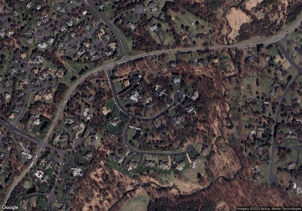
Map
Nearby Homes
- 215 Readington Rd
- 6 Heritage Ct
- 23 Buffalo Hollow Rd
- 21 Cheyenne Trail
- 33 Iroquois Trail
- 16 Iroquois Trail
- 5 Walnut Dr
- 212 County Line Rd
- 615 Magnolia Ln
- 110 Arbor Way
- 2 Carlisle Rd
- 46 Strawberry Hill Rd
- 203 Red Crest Ln
- 511 Red Crest Ln
- 1601 Breckenridge Dr
- 3366 Us Highway 22
- 508 Keenland Ct
- 9 Weavers Ln
- 40 France Dr
- 1114 State Route 28
- 405 Michael Ct
- 415 Michael Ct
- 410 Michael Ct
- 1 Meadow View Ct
- 209 Readington Rd
- 401 Michael Ct
- 414 Michael Ct
- 403 Michael Ct
- 406 Michael Ct
- 419 Michael Ct
- 418 Michael Ct
- 404 Michael Ct
- 420 Michael Ct
- 402 Michael Ct
- 207 Readington Rd
- 6 Meadow View Ct
- 2 Meadow View Ct
- 4 Nicholas Ct
- 8 Meadow View Ct
- 4 Meadow View Ct