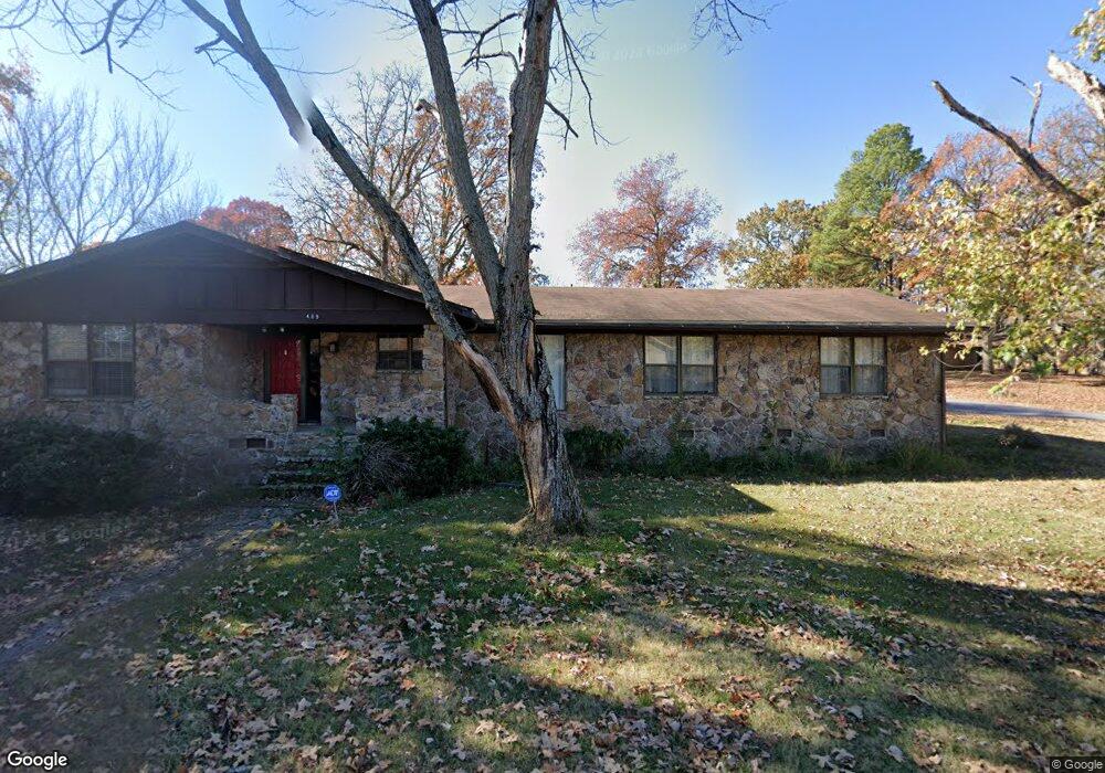
409 N Devon Ave Sherwood, AR 72120
Estimated Value: $226,000 - $251,000
--
Bed
2
Baths
2,149
Sq Ft
$113/Sq Ft
Est. Value
About This Home
This home is located at 409 N Devon Ave, Sherwood, AR 72120 and is currently estimated at $242,285, approximately $112 per square foot. 409 N Devon Ave is a home located in Pulaski County with nearby schools including Sherwood Elementary School, Sylvan Hills Middle School, and Sylvan Hills High School.
Ownership History
Date
Name
Owned For
Owner Type
Purchase Details
Closed on
Apr 26, 2021
Sold by
Shadle Anne P and Shadle William A
Bought by
Cooper Adam and Cooper Leslie
Current Estimated Value
Home Financials for this Owner
Home Financials are based on the most recent Mortgage that was taken out on this home.
Original Mortgage
$149,900
Outstanding Balance
$135,342
Interest Rate
3%
Mortgage Type
New Conventional
Estimated Equity
$106,943
Create a Home Valuation Report for This Property
The Home Valuation Report is an in-depth analysis detailing your home's value as well as a comparison with similar homes in the area
Home Values in the Area
Average Home Value in this Area
Purchase History
| Date | Buyer | Sale Price | Title Company |
|---|---|---|---|
| Cooper Adam | $169,900 | National Title & Escrow Llc |
Source: Public Records
Mortgage History
| Date | Status | Borrower | Loan Amount |
|---|---|---|---|
| Open | Cooper Adam | $149,900 |
Source: Public Records
Tax History Compared to Growth
Tax History
| Year | Tax Paid | Tax Assessment Tax Assessment Total Assessment is a certain percentage of the fair market value that is determined by local assessors to be the total taxable value of land and additions on the property. | Land | Improvement |
|---|---|---|---|---|
| 2025 | $2,035 | $39,054 | $6,600 | $32,454 |
| 2024 | $2,035 | $39,054 | $6,600 | $32,454 |
| 2023 | $2,035 | $39,054 | $6,600 | $32,454 |
| 2022 | $2,232 | $39,054 | $6,600 | $32,454 |
| 2021 | $1,556 | $29,370 | $6,000 | $23,370 |
| 2020 | $1,174 | $29,370 | $6,000 | $23,370 |
| 2019 | $1,174 | $29,370 | $6,000 | $23,370 |
| 2018 | $1,199 | $29,370 | $6,000 | $23,370 |
| 2017 | $1,192 | $29,370 | $6,000 | $23,370 |
| 2016 | $1,192 | $30,020 | $6,600 | $23,420 |
| 2015 | $1,381 | $27,176 | $6,600 | $20,576 |
| 2014 | $1,381 | $27,176 | $6,600 | $20,576 |
Source: Public Records
Map
Nearby Homes
- 11 Daniel Dr
- 701 Club Rd
- 4636 Brandywine Cove
- +/- 8.16 Acres Windchime Ave
- 1301 Stafford Rd
- 304 Verona Ave
- 1300 Stafford Rd
- 8000 Pinto Trail
- 609 Newcastle Dr
- 619 Newcastle Dr
- 401 Country Club Rd
- 201 Delmont Ave
- 1800 Palomino Dr
- 1 Sherwood - Multi Package Properties Dr
- 626 Newcastle Dr
- 618 & 620 Newcastle Dr
- 622 Newcastle Dr
- 615 & 617 Brierly Dr
- 9624 Jonquil Cove
- 615 Brierly Dr
- 409 N Devon Ave
- 306 N Fairway Ave
- 405 N Devon Ave
- 405 Devon Ave
- 408 N Devon Ave
- 304 N Fairway Ave
- 404 N Devon Ave
- 505 N Devon Ave
- 307 N Fairway Ave
- 305 N Beverly Ave
- N Devon Cir
- 412 N Devon Ave
- 305 N Fairway Ave
- 305 N Fairway Ave
- 403 N Beverly Ave
- 302 N Fairway Ave
- 303 N Beverly Ave
- 416 N Devon Ave
- 303 N Fairway Ave
- 300 N Fairway Ave