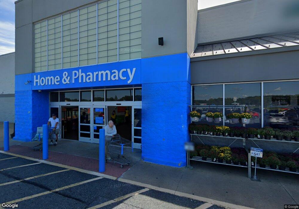
409 N Fruitland Blvd Salisbury, MD 21801
Estimated Value: $29,703,702
--
Bed
--
Bath
7,227
Sq Ft
$4,110/Sq Ft
Est. Value
About This Home
This home is located at 409 N Fruitland Blvd, Salisbury, MD 21801 and is currently estimated at $29,703,702, approximately $4,110 per square foot. 409 N Fruitland Blvd is a home located in Wicomico County with nearby schools including Fruitland Primary School, Fruitland Intermediate School, and Bennett Middle School.
Ownership History
Date
Name
Owned For
Owner Type
Purchase Details
Closed on
Jan 11, 2001
Sold by
Wd Of Fruitland Llc
Bought by
Wal & Mart Real Estate Business and Trust
Current Estimated Value
Purchase Details
Closed on
Oct 1, 1999
Sold by
Hanna Henry H and Hanna Dara L
Bought by
Wd Of Fruitland Llc
Purchase Details
Closed on
Oct 20, 1997
Sold by
Hanna Henry H and Hanna Dara L
Bought by
Hanna Henry H and Hanna Dara L
Create a Home Valuation Report for This Property
The Home Valuation Report is an in-depth analysis detailing your home's value as well as a comparison with similar homes in the area
Home Values in the Area
Average Home Value in this Area
Purchase History
| Date | Buyer | Sale Price | Title Company |
|---|---|---|---|
| Wal & Mart Real Estate Business | $10,528,031 | -- | |
| Wd Of Fruitland Llc | $1,597,792 | -- | |
| Hanna Henry H | $400,000 | -- |
Source: Public Records
Tax History Compared to Growth
Tax History
| Year | Tax Paid | Tax Assessment Tax Assessment Total Assessment is a certain percentage of the fair market value that is determined by local assessors to be the total taxable value of land and additions on the property. | Land | Improvement |
|---|---|---|---|---|
| 2025 | $74,645 | $9,302,033 | $0 | $0 |
| 2024 | $74,645 | $7,785,300 | $1,935,000 | $5,850,300 |
| 2023 | $71,874 | $7,269,967 | $0 | $0 |
| 2022 | $73,992 | $7,261,233 | $0 | $0 |
| 2021 | $74,143 | $7,252,500 | $1,616,100 | $5,636,400 |
| 2020 | $74,796 | $7,252,500 | $1,616,100 | $5,636,400 |
| 2019 | $75,905 | $7,252,500 | $1,616,100 | $5,636,400 |
| 2018 | $78,848 | $7,496,500 | $1,616,100 | $5,880,400 |
| 2017 | $78,789 | $7,490,833 | $0 | $0 |
| 2016 | $70,268 | $7,485,167 | $0 | $0 |
| 2015 | $70,268 | $7,479,500 | $0 | $0 |
| 2014 | $70,268 | $7,479,500 | $0 | $0 |
Source: Public Records
Map
Nearby Homes
- 224 Canal Park Dr Unit 101
- 228 Canal Park Dr Unit G7
- 228 Canal Park Dr Unit G106
- 228 Canal Park Dr Unit G208
- 202 Hunter's Way
- 225 Canal Park Dr Unit 15
- 210 Hunter's Way
- 231 Canal Park Dr Unit A200
- 222 N Dulany Ave
- 401 Cobblers Green
- 207 & 209 N Dulany Ave
- 214 N Dulany Ave
- 415 Creekside Trail
- 1703 Carver Square
- 1504 Lilac Dr
- 105 Russell Ave
- 404 Sheldon Ave
- 103 W Main St
- 209 W Main St
- 1702 Old Mill Ln
- 403 N Fruitland Blvd
- 403 N Fruitland Blvd
- 101 E Cedar Ln
- 107 E Cedar Ln
- 407 N Fruitland Blvd
- 413 N Fruitland Blvd
- 415 N Fruitland Blvd
- 104 E Cedar Ln Unit 100
- 100 E Cedar Ln
- 417 N Fruitland Blvd
- 108 E Cedar Ln
- 100 W Cedar Ln
- 157 Emily Dr
- 102 W Cedar Ln
- 305 Prosperity Ln
- 416 N Fruitland Blvd
- 122 E Cedar Ln
- 306 Prosperity Ln
- 0 Prosperity Unit WC6951198
- 0 Prosperity Unit 1001679126