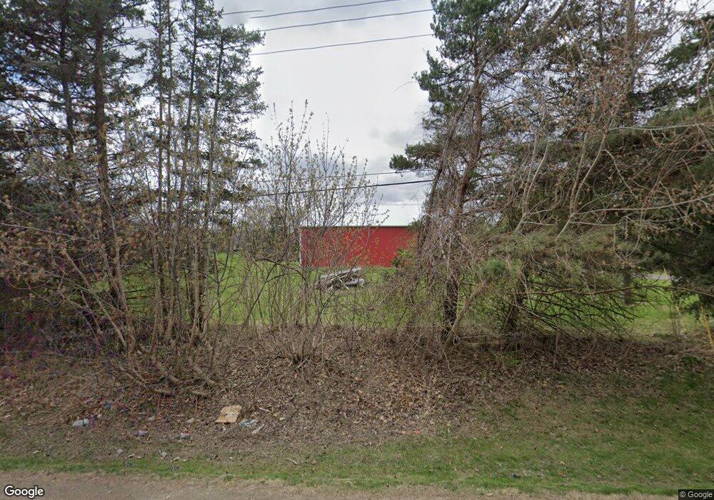
409 N Latson Rd Howell, MI 48843
Estimated Value: $482,420 - $550,000
4
Beds
3
Baths
2,434
Sq Ft
$213/Sq Ft
Est. Value
About This Home
This home is located at 409 N Latson Rd, Howell, MI 48843 and is currently estimated at $518,355, approximately $212 per square foot. 409 N Latson Rd is a home located in Livingston County with nearby schools including Ruahmah J. Hutchings Elementary, Parker Middle School, and Howell High School.
Ownership History
Date
Name
Owned For
Owner Type
Purchase Details
Closed on
Sep 24, 2004
Sold by
Carpen Lisa
Bought by
Hoskins Hubert and Hoskins Debra L
Current Estimated Value
Purchase Details
Closed on
Jan 15, 1999
Sold by
Aebersold Eric D and Aebersold Michelle L
Bought by
Carpen Vincent J
Home Financials for this Owner
Home Financials are based on the most recent Mortgage that was taken out on this home.
Original Mortgage
$256,500
Interest Rate
7.5%
Create a Home Valuation Report for This Property
The Home Valuation Report is an in-depth analysis detailing your home's value as well as a comparison with similar homes in the area
Home Values in the Area
Average Home Value in this Area
Purchase History
| Date | Buyer | Sale Price | Title Company |
|---|---|---|---|
| Hoskins Hubert | $285,000 | -- | |
| Carpen Vincent J | $285,000 | American Title Co |
Source: Public Records
Mortgage History
| Date | Status | Borrower | Loan Amount |
|---|---|---|---|
| Previous Owner | Carpen Vincent J | $256,500 |
Source: Public Records
Tax History
| Year | Tax Paid | Tax Assessment Tax Assessment Total Assessment is a certain percentage of the fair market value that is determined by local assessors to be the total taxable value of land and additions on the property. | Land | Improvement |
|---|---|---|---|---|
| 2025 | $2,387 | $222,200 | $0 | $0 |
| 2024 | $2,319 | $210,900 | $0 | $0 |
| 2023 | $2,215 | $192,800 | $0 | $0 |
| 2022 | $1,019 | $158,800 | $0 | $0 |
| 2021 | $3,069 | $166,400 | $0 | $0 |
| 2020 | $3,104 | $158,800 | $0 | $0 |
| 2019 | $3,060 | $148,000 | $0 | $0 |
| 2018 | $3,024 | $147,400 | $0 | $0 |
| 2017 | $2,983 | $145,000 | $0 | $0 |
| 2016 | $2,966 | $141,000 | $0 | $0 |
| 2014 | $2,617 | $122,700 | $0 | $0 |
| 2012 | $2,617 | $109,200 | $0 | $0 |
Source: Public Records
Map
Nearby Homes
- 3644 Snowden Ln
- 453 N Hughes Rd
- TBD Cannonade Loop
- 501 Snowfall Ct
- 4404 Willow View Ct
- 4127 Kirkway Ct Unit 99
- 4324 Hampton Ridge Blvd
- 571 Cannonade Loop
- 2756 Turning Leaf Dr
- 612 Sunrise Park St
- VL E Grand River N
- 4145 Ash Tree Ln
- 475 Cannonade Loop
- 4153 Ash Tree Ln
- 2830 E Grand River Ave
- 487 Cannonade Loop
- 559 Cannonade Loop
- 499 Cannonade Loop
- 607 Cannonade Loop
- 2830 Bonny Brook Dr Unit 3
- 3920 Vicksburg Way
- 375 N Latson Rd
- 3896 Vicksburg Way
- 383 N Latson Rd
- 3888 Vicksburg Way
- 458 Glacier Ln
- 466 Glacier Ln
- 4037 Brandon Dr
- 3872 Vicksburg Way Unit 243
- 3872 Vicksburg Way
- 308 Bryce Ct
- 323 N Latson Rd
- 483 N Latson Rd
- 336 Bryce Ct
- 300 Bryce Ct
- 300 Bryce Ct
- 300 Bryce Ct
- 4062 Brandon Dr
- 374 Bryce Ct
- 501 Glacier Ln
Your Personal Tour Guide
Ask me questions while you tour the home.