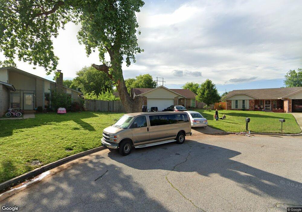
409 Norton Cir Yukon, OK 73099
Hollyrock-Silver Maple NeighborhoodEstimated Value: $207,000 - $215,000
3
Beds
2
Baths
1,554
Sq Ft
$136/Sq Ft
Est. Value
About This Home
This home is located at 409 Norton Cir, Yukon, OK 73099 and is currently estimated at $211,291, approximately $135 per square foot. 409 Norton Cir is a home located in Canadian County with nearby schools including Mustang Creek Elementary School, Meadow Brook Intermediate School, and Mustang Central Middle School.
Ownership History
Date
Name
Owned For
Owner Type
Purchase Details
Closed on
Nov 8, 2002
Sold by
Tisley Barbara Hale
Bought by
Davis Jack and Davis Carrie
Current Estimated Value
Home Financials for this Owner
Home Financials are based on the most recent Mortgage that was taken out on this home.
Original Mortgage
$83,678
Outstanding Balance
$34,997
Interest Rate
6%
Estimated Equity
$176,294
Purchase Details
Closed on
Oct 6, 1995
Sold by
Vanorden John R and Vanorden Denise M
Purchase Details
Closed on
Jun 28, 1991
Purchase Details
Closed on
Jul 1, 1987
Create a Home Valuation Report for This Property
The Home Valuation Report is an in-depth analysis detailing your home's value as well as a comparison with similar homes in the area
Home Values in the Area
Average Home Value in this Area
Purchase History
| Date | Buyer | Sale Price | Title Company |
|---|---|---|---|
| Davis Jack | $84,500 | -- | |
| -- | $63,500 | -- | |
| -- | $57,000 | -- | |
| -- | -- | -- |
Source: Public Records
Mortgage History
| Date | Status | Borrower | Loan Amount |
|---|---|---|---|
| Open | Davis Jack | $83,678 |
Source: Public Records
Tax History Compared to Growth
Tax History
| Year | Tax Paid | Tax Assessment Tax Assessment Total Assessment is a certain percentage of the fair market value that is determined by local assessors to be the total taxable value of land and additions on the property. | Land | Improvement |
|---|---|---|---|---|
| 2024 | $1,351 | $13,320 | $2,040 | $11,280 |
| 2023 | $1,351 | $12,932 | $2,040 | $10,892 |
| 2022 | $1,328 | $12,555 | $2,040 | $10,515 |
| 2021 | $1,281 | $12,189 | $2,040 | $10,149 |
| 2020 | $1,253 | $11,835 | $2,040 | $9,795 |
| 2019 | $1,212 | $11,490 | $2,040 | $9,450 |
| 2018 | $1,195 | $11,155 | $2,040 | $9,115 |
| 2017 | $1,142 | $10,830 | $2,040 | $8,790 |
| 2016 | $1,121 | $10,674 | $2,040 | $8,634 |
| 2015 | $1,114 | $10,391 | $2,040 | $8,351 |
| 2014 | $1,114 | $10,539 | $2,040 | $8,499 |
Source: Public Records
Map
Nearby Homes
- 12177 Hollyrock Dr
- 11817 Hollyrock Dr
- 309 Glen Dr
- 310 Glen Dr
- 624 Caladium Dr
- 12113 NW 7th St
- 11741 Oakdale St
- 11713 NW 6th St
- 612 Ellsworth Ave
- 11608 NW 6th St
- 108 N Eastgate Dr
- 713 Vickery Ave
- 717 Vickery Ave
- 12320 NW 4th St
- 213 Harrogate Dr
- 311 Tumbleweed Rd
- 801 Dana Dr
- 12400 Newgate Dr
- 2404 Big Horn Canyon Rd
- 418 Palo Verde Dr