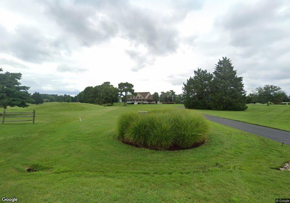
409 Penny Dr Stevensville, MD 21666
Estimated Value: $1,316,000 - $1,614,000
5
Beds
4
Baths
4,096
Sq Ft
$362/Sq Ft
Est. Value
About This Home
This home is located at 409 Penny Dr, Stevensville, MD 21666 and is currently estimated at $1,482,585, approximately $361 per square foot. 409 Penny Dr is a home located in Queen Anne's County with nearby schools including Matapeake Elementary School, Matapeake Middle School, and Kent Island High School.
Ownership History
Date
Name
Owned For
Owner Type
Purchase Details
Closed on
May 11, 2018
Sold by
Stout Craig W and Stout Elaina
Bought by
Ochipinti David L and Ochipinti Clara
Current Estimated Value
Home Financials for this Owner
Home Financials are based on the most recent Mortgage that was taken out on this home.
Original Mortgage
$517,500
Outstanding Balance
$445,585
Interest Rate
4.4%
Mortgage Type
New Conventional
Estimated Equity
$1,037,000
Purchase Details
Closed on
Jan 4, 2011
Sold by
Simpson Michael E
Bought by
Stout Craig W and Stout Elaina
Home Financials for this Owner
Home Financials are based on the most recent Mortgage that was taken out on this home.
Original Mortgage
$560,000
Interest Rate
4.37%
Mortgage Type
New Conventional
Purchase Details
Closed on
Sep 1, 1999
Sold by
Williams Jon E and Williams Harley H
Bought by
Simpson Michael E and Simpson Brenda E
Create a Home Valuation Report for This Property
The Home Valuation Report is an in-depth analysis detailing your home's value as well as a comparison with similar homes in the area
Home Values in the Area
Average Home Value in this Area
Purchase History
| Date | Buyer | Sale Price | Title Company |
|---|---|---|---|
| Ochipinti David L | $960,000 | None Available | |
| Stout Craig W | $970,000 | -- | |
| Simpson Michael E | $158,900 | -- |
Source: Public Records
Mortgage History
| Date | Status | Borrower | Loan Amount |
|---|---|---|---|
| Open | Ochipinti David L | $517,500 | |
| Previous Owner | Stout Craig W | $560,000 | |
| Closed | Simpson Michael E | -- |
Source: Public Records
Tax History Compared to Growth
Tax History
| Year | Tax Paid | Tax Assessment Tax Assessment Total Assessment is a certain percentage of the fair market value that is determined by local assessors to be the total taxable value of land and additions on the property. | Land | Improvement |
|---|---|---|---|---|
| 2025 | $10,125 | $1,159,400 | $0 | $0 |
| 2024 | $9,589 | $1,058,700 | $0 | $0 |
| 2023 | $9,084 | $958,000 | $509,700 | $448,300 |
| 2022 | $8,989 | $947,867 | $0 | $0 |
| 2021 | $9,054 | $937,733 | $0 | $0 |
| 2020 | $8,957 | $927,600 | $544,700 | $382,900 |
| 2019 | $8,897 | $927,600 | $544,700 | $382,900 |
| 2018 | $8,897 | $927,600 | $544,700 | $382,900 |
| 2017 | $8,801 | $929,500 | $0 | $0 |
| 2016 | -- | $911,367 | $0 | $0 |
| 2015 | $4,574 | $893,233 | $0 | $0 |
| 2014 | $4,574 | $875,100 | $0 | $0 |
Source: Public Records
Map
Nearby Homes
- 102 Golf Ct
- 224 Long Point Rd
- 213 Pennick Dr
- 208 Long Point Rd
- 214 Pennick Dr
- 210 Pennick Dr
- 0 Ackerman Dr
- 203 Olive Branch Rd
- Lot 8 Ackerman Dr
- 123 Long Point Rd
- 9401 Romancoke Rd
- Lot 1 - E/Kent Point Romancoke
- 8905 Romancoke Rd
- 114 N Lake Dr
- 118 N Lake Dr
- 145 N Lake Dr
- 208 Tower Dr
- 312 S Lake Dr
- 224 Wicomico Rd
- 300 Talbot Rd
- 101 Storm Haven Ct
- 106 N Creek Ct
- 106 North Creek Ct
- 103 Storm Haven Ct
- 105 Storm Haven Ct
- 108 North Creek Ct
- 108 North Creek Ct
- 100 Storm Haven Ct
- 102 Storm Haven Ct
- 107 Storm Haven Ct
- 109 Storm Haven Ct
- 104 Storm Haven Ct
- 112 N Creek Ct
- 101 Night Heron Ct
- 112 North Creek Ct
- 103 Night Heron Ct
- 106 Storm Haven Ct
- 111 Storm Haven Ct
- 113 Storm Haven Ct
- 105 Night Heron Ct