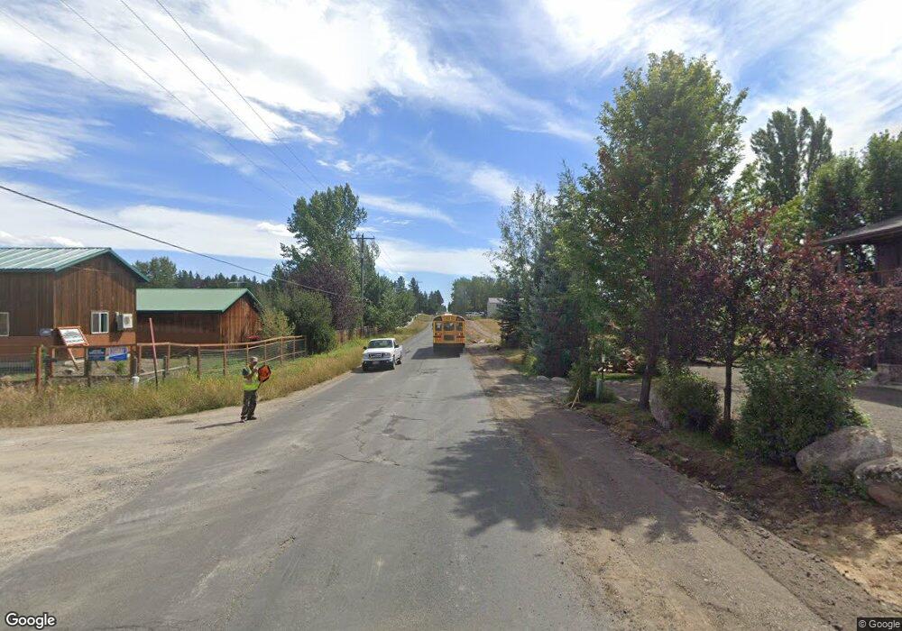
409 S Samson Trail McCall, ID 83638
Estimated Value: $763,000 - $922,000
3
Beds
2
Baths
2,234
Sq Ft
$374/Sq Ft
Est. Value
About This Home
This home is located at 409 S Samson Trail, McCall, ID 83638 and is currently estimated at $835,235, approximately $373 per square foot. 409 S Samson Trail is a home located in Valley County with nearby schools including McCall-Donnelly High School, Mountain Life Education, and McCall Adventist Christian School.
Ownership History
Date
Name
Owned For
Owner Type
Purchase Details
Closed on
Dec 10, 2020
Sold by
Day Anthony G and Day Kelli K
Bought by
Day Kelli K and Day Anthony G
Current Estimated Value
Home Financials for this Owner
Home Financials are based on the most recent Mortgage that was taken out on this home.
Original Mortgage
$367,500
Outstanding Balance
$327,185
Interest Rate
2.7%
Mortgage Type
New Conventional
Estimated Equity
$508,050
Purchase Details
Closed on
Apr 27, 2017
Sold by
Mudie Todd A and Mudie Kern D
Bought by
Day Anthony G and Day Kelli K
Home Financials for this Owner
Home Financials are based on the most recent Mortgage that was taken out on this home.
Original Mortgage
$259,920
Interest Rate
4.3%
Mortgage Type
New Conventional
Create a Home Valuation Report for This Property
The Home Valuation Report is an in-depth analysis detailing your home's value as well as a comparison with similar homes in the area
Home Values in the Area
Average Home Value in this Area
Purchase History
| Date | Buyer | Sale Price | Title Company |
|---|---|---|---|
| Day Kelli K | -- | First American Title Ins Co | |
| Day Anthony G | -- | Title One |
Source: Public Records
Mortgage History
| Date | Status | Borrower | Loan Amount |
|---|---|---|---|
| Open | Day Kelli K | $367,500 | |
| Closed | Day Anthony G | $259,920 |
Source: Public Records
Tax History Compared to Growth
Tax History
| Year | Tax Paid | Tax Assessment Tax Assessment Total Assessment is a certain percentage of the fair market value that is determined by local assessors to be the total taxable value of land and additions on the property. | Land | Improvement |
|---|---|---|---|---|
| 2025 | $2,337 | $699,544 | $188,802 | $510,742 |
| 2023 | $2,337 | $735,427 | $169,922 | $565,505 |
| 2022 | $2,837 | $677,391 | $188,802 | $488,589 |
| 2021 | $2,422 | $434,495 | $67,386 | $367,109 |
| 2020 | $2,439 | $375,219 | $83,479 | $291,740 |
| 2019 | $2,475 | $355,388 | $71,830 | $283,558 |
| 2018 | $2,443 | $331,569 | $66,651 | $264,918 |
| 2017 | $2,355 | $308,984 | $66,651 | $242,333 |
| 2016 | $2,286 | $292,917 | $56,765 | $236,152 |
| 2015 | $2,193 | $272,235 | $0 | $0 |
| 2013 | -- | $281,740 | $0 | $0 |
Source: Public Records
Map
Nearby Homes
- 697 N Samson Trail Unit 7
- 699 N Samson Trail Unit 5
- 324 Sunshine
- 616 N 3rd St Unit 211
- 616 N 3rd St Unit 215
- 616 N 3rd St Unit 304
- 327 Silverpine Dr
- 762 Deer Forest Dr
- 305 N 3rd St
- Lot 60 River Run Ct Unit 60
- Lot 1 Springer Ct
- 707 Bridle Path Way
- Lot 19 To Be Determined Unit 19
- Lot 28 To Be Determined Unit 28
- Lot 11 To Be Determined Unit 11
- Lot 18 To Be Determined Unit 18
- Lot 29 To Be Determined Unit 29
- Lot 20 To Be Determined Unit 20
- Lot 8 To Be Determined Unit 8
- TBD Sunbridge Dr
- 411 N Samson Trail
- 504 Colorado St
- 407 N Samson Trail
- 503 Colorado St
- 600 Syringa Dr
- 405 N Samson Trail
- 505 Colorado St
- 501 N Samson Trail
- 603 Syringa Dr
- 602 Syringa Dr
- 625 Syringa Dr
- 403 N Samson Trail
- 679 N Samson Trail
- 675 N Samson Trail
- 426 Colorado St
- 605 Syringa Dr
- 604 Syringa Dr
- 510 Colorado St
- 423 Colorado St
- 628 Syringa Dr
