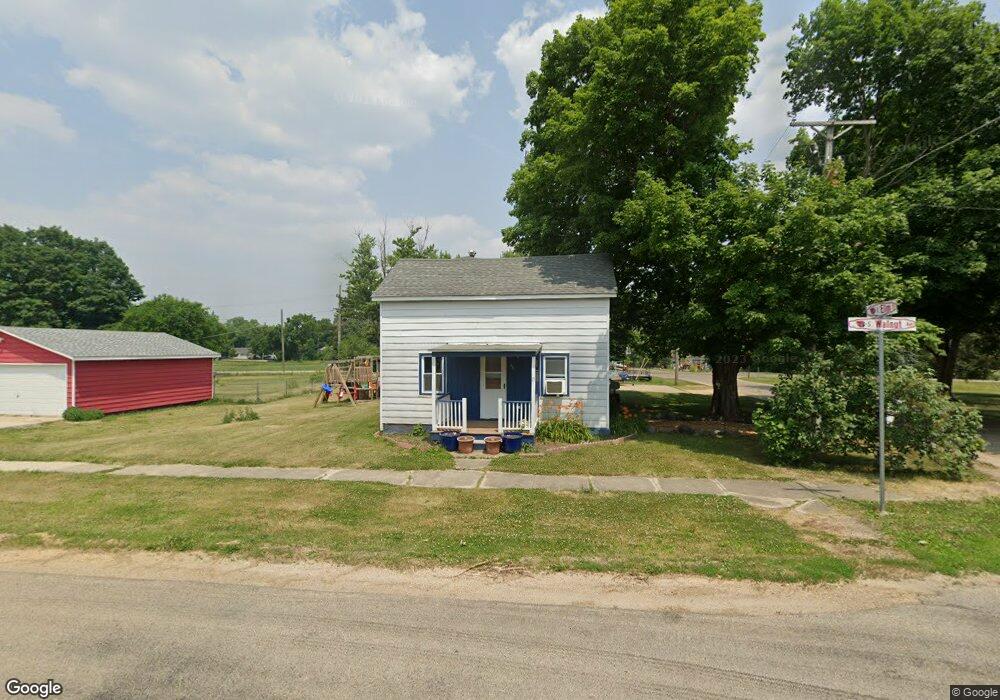
409 S Walnut Ave Forreston, IL 61030
Estimated Value: $124,000 - $127,000
Studio
--
Bath
1,482
Sq Ft
$85/Sq Ft
Est. Value
About This Home
This home is located at 409 S Walnut Ave, Forreston, IL 61030 and is currently estimated at $125,518, approximately $84 per square foot. 409 S Walnut Ave is a home located in Ogle County with nearby schools including Forreston High School.
Ownership History
Date
Name
Owned For
Owner Type
Purchase Details
Closed on
Jan 29, 2026
Sold by
Shenberger Robert C and Shenberger Krystal
Bought by
Sweet Conner
Current Estimated Value
Home Financials for this Owner
Home Financials are based on the most recent Mortgage that was taken out on this home.
Original Mortgage
$121,361
Outstanding Balance
$121,361
Interest Rate
6.13%
Mortgage Type
FHA
Estimated Equity
$4,157
Purchase Details
Closed on
Dec 16, 2020
Sold by
Slick Jane E
Bought by
Shenberger Robert C
Home Financials for this Owner
Home Financials are based on the most recent Mortgage that was taken out on this home.
Original Mortgage
$58,000
Interest Rate
3.45%
Mortgage Type
New Conventional
Create a Home Valuation Report for This Property
The Home Valuation Report is an in-depth analysis detailing your home's value as well as a comparison with similar homes in the area
Home Values in the Area
Average Home Value in this Area
Purchase History
| Date | Buyer | Sale Price | Title Company |
|---|---|---|---|
| Sweet Conner | $124,000 | Mta | |
| Shenberger Robert C | $70,000 | Security First Title |
Source: Public Records
Mortgage History
| Date | Status | Borrower | Loan Amount |
|---|---|---|---|
| Open | Sweet Conner | $121,361 | |
| Previous Owner | Shenberger Robert C | $58,000 |
Source: Public Records
Tax History
| Year | Tax Paid | Tax Assessment Tax Assessment Total Assessment is a certain percentage of the fair market value that is determined by local assessors to be the total taxable value of land and additions on the property. | Land | Improvement |
|---|---|---|---|---|
| 2024 | $1,749 | $25,703 | $3,267 | $22,436 |
| 2023 | $1,586 | $23,974 | $3,047 | $20,927 |
| 2022 | $1,457 | $21,936 | $2,788 | $19,148 |
| 2021 | $1,415 | $21,388 | $2,718 | $18,670 |
| 2020 | $1,373 | $21,010 | $2,670 | $18,340 |
| 2019 | $1,883 | $20,153 | $2,561 | $17,592 |
| 2018 | $1,340 | $20,153 | $2,561 | $17,592 |
| 2017 | $1,938 | $20,153 | $2,561 | $17,592 |
| 2016 | $1,403 | $19,675 | $2,500 | $17,175 |
| 2015 | $1,275 | $19,213 | $2,441 | $16,772 |
| 2014 | $1,297 | $19,213 | $2,441 | $16,772 |
| 2013 | $1,354 | $19,692 | $2,502 | $17,190 |
Source: Public Records
Map
Nearby Homes
- 404 E Willow St
- 603 Hewitt St
- 601 Hewitt St
- 609 Hewitt St
- 613 Hewitt St
- 617 Hewitt St
- 605 & 607 Hewitt St
- 613 & 615 Hewitt St
- 609 & 611 Hewitt St
- 617 & 619 Hewitt St
- 701 Hewitt St
- 703 Hewitt St
- 406 W Balsam St
- 304 Maple Ave
- 702 Hewitt St
- 605 Hewitt St
- 502 N Walnut Ave
- 8701 N Main St
- 8976 N Main St
- 10225 N Brookville Rd
- 401 S Walnut Ave
- 405 S Walnut Ave
- 311 S Walnut Ave
- 404 S Walnut Ave
- 402 S Walnut Ave
- 407 S Walnut Ave
- 503 Garden St
- 406 S Walnut Ave
- 408 S Walnut Ave
- 307 S Walnut Ave
- 410 S Walnut Ave
- 305 S Ash Ave
- 109 N Walnut Ave
- 303 S Ash Ave
- 501 S Walnut Ave
- 303 E Elm St
- 301 S Walnut Ave
- 502 S Walnut Ave
- 305 E Elm St
- 503 S Walnut Ave
Your Personal Tour Guide
Ask me questions while you tour the home.