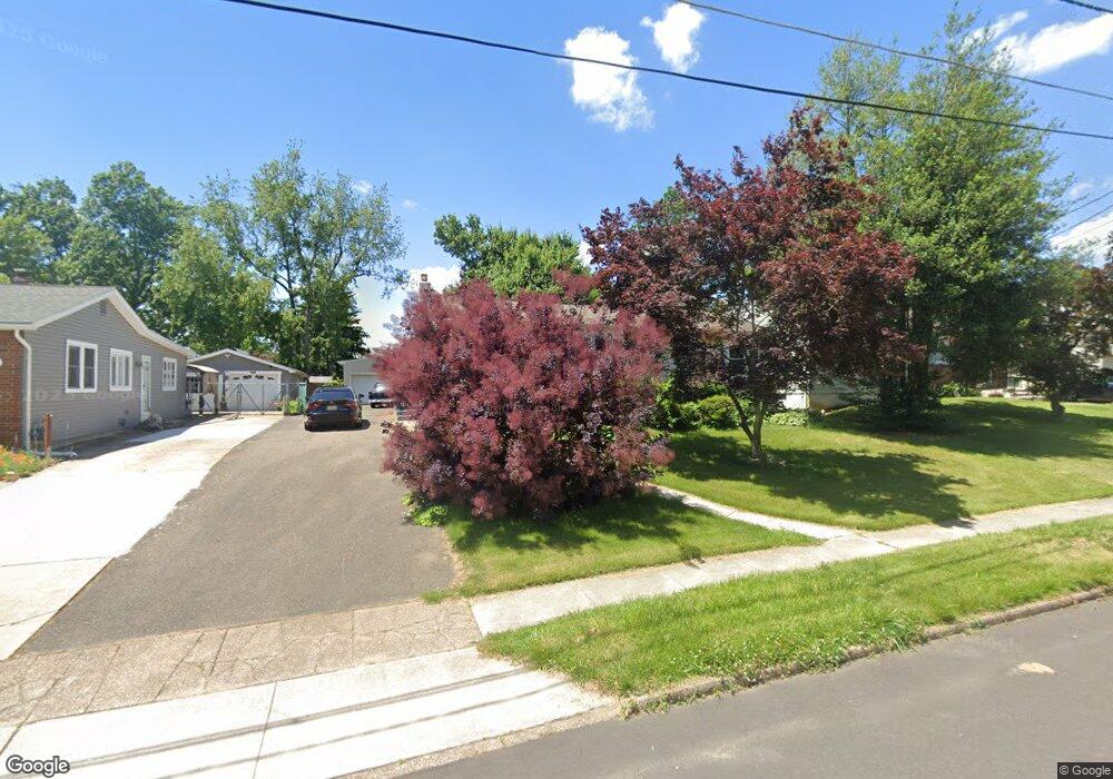
409 W 1st Ave Runnemede, NJ 08078
Estimated Value: $314,000 - $334,000
3
Beds
2
Baths
1,064
Sq Ft
$301/Sq Ft
Est. Value
About This Home
This home is located at 409 W 1st Ave, Runnemede, NJ 08078 and is currently estimated at $320,697, approximately $301 per square foot. 409 W 1st Ave is a home located in Camden County with nearby schools including Mary E. Volz Elementary School, Bingham Elementary School, and Triton High School.
Ownership History
Date
Name
Owned For
Owner Type
Purchase Details
Closed on
Sep 12, 2008
Sold by
Jimenez Robert and Jimenez Patricia
Bought by
Smith Thomas
Current Estimated Value
Home Financials for this Owner
Home Financials are based on the most recent Mortgage that was taken out on this home.
Original Mortgage
$175,162
Outstanding Balance
$116,786
Interest Rate
6.57%
Mortgage Type
FHA
Estimated Equity
$203,911
Purchase Details
Closed on
May 16, 2006
Sold by
Williams Robbie
Bought by
Jimenez Robert and Wilson Patricia
Home Financials for this Owner
Home Financials are based on the most recent Mortgage that was taken out on this home.
Original Mortgage
$127,500
Interest Rate
6.53%
Purchase Details
Closed on
Jun 16, 2005
Sold by
Us Bk Natl Assn
Bought by
Williams Robbie and Williams Kevin W
Home Financials for this Owner
Home Financials are based on the most recent Mortgage that was taken out on this home.
Original Mortgage
$98,900
Interest Rate
5.71%
Create a Home Valuation Report for This Property
The Home Valuation Report is an in-depth analysis detailing your home's value as well as a comparison with similar homes in the area
Home Values in the Area
Average Home Value in this Area
Purchase History
| Date | Buyer | Sale Price | Title Company |
|---|---|---|---|
| Smith Thomas | $185,000 | -- | |
| Jimenez Robert | $170,000 | -- | |
| Williams Robbie | $109,900 | -- |
Source: Public Records
Mortgage History
| Date | Status | Borrower | Loan Amount |
|---|---|---|---|
| Open | Smith Thomas | $175,162 | |
| Previous Owner | Jimenez Robert | $127,500 | |
| Previous Owner | Williams Robbie | $98,900 |
Source: Public Records
Tax History Compared to Growth
Tax History
| Year | Tax Paid | Tax Assessment Tax Assessment Total Assessment is a certain percentage of the fair market value that is determined by local assessors to be the total taxable value of land and additions on the property. | Land | Improvement |
|---|---|---|---|---|
| 2025 | $6,236 | $138,400 | $46,800 | $91,600 |
| 2024 | $6,047 | $138,400 | $46,800 | $91,600 |
| 2023 | $6,047 | $138,400 | $46,800 | $91,600 |
| 2022 | $5,854 | $138,400 | $46,800 | $91,600 |
| 2021 | $5,716 | $138,400 | $46,800 | $91,600 |
| 2020 | $5,659 | $138,400 | $46,800 | $91,600 |
| 2019 | $5,555 | $138,400 | $46,800 | $91,600 |
| 2018 | $5,449 | $138,400 | $46,800 | $91,600 |
| 2017 | $5,309 | $138,400 | $46,800 | $91,600 |
| 2016 | $5,243 | $138,400 | $46,800 | $91,600 |
| 2015 | $5,258 | $138,400 | $46,800 | $91,600 |
| 2014 | $5,190 | $138,400 | $46,800 | $91,600 |
Source: Public Records
Map
Nearby Homes
- 524 Hirsch Ave
- 600 Williams Ave
- 613 Williams Terrace
- 115 W 1st Ave
- 206 W 5th Ave
- 21 S Oakland Ave
- 37 W 5th Ave
- 525 W Evesham Rd
- 850 Orchard Ave
- 688 Dettmar Terrace
- 37 Whaler Ave
- 41 Whaler Ave
- 43 Whaler Ave
- 45 Whaler Ave
- 47 Whaler Dr
- 27 E 3rd Ave
- 924 W Evesham Rd
- 39 E 2nd Ave
- 211 Broadway
- 218 High St