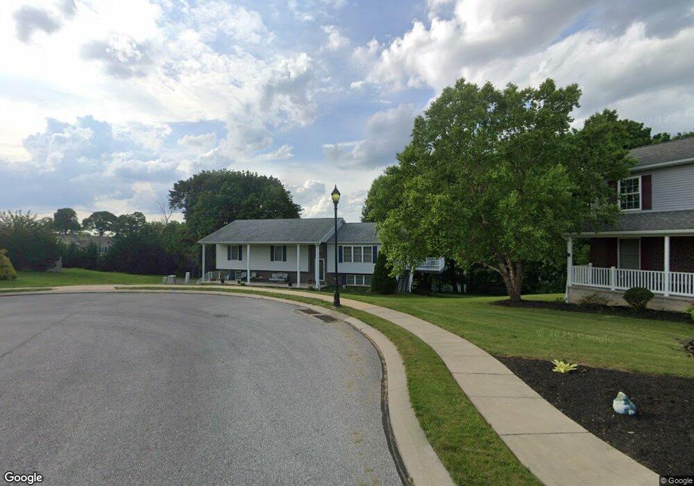
409 W Broad St Dallastown, PA 17313
Estimated Value: $247,000 - $388,000
3
Beds
2
Baths
2,568
Sq Ft
$129/Sq Ft
Est. Value
About This Home
This home is located at 409 W Broad St, Dallastown, PA 17313 and is currently estimated at $331,195, approximately $128 per square foot. 409 W Broad St is a home located in York County with nearby schools including Dallastown Elementary School, Dallastown Area Middle School, and Dallastown Area High School.
Ownership History
Date
Name
Owned For
Owner Type
Purchase Details
Closed on
Oct 27, 2015
Sold by
Henson Betty A and Ford Carol Y
Bought by
Henson Betty A and Ford Carol Y
Current Estimated Value
Purchase Details
Closed on
Mar 10, 2006
Sold by
Henson Betty A
Bought by
Henson Betty A and Ford Carol Y
Purchase Details
Closed on
Apr 29, 2005
Sold by
Adams John D
Bought by
Henson Betty A
Home Financials for this Owner
Home Financials are based on the most recent Mortgage that was taken out on this home.
Original Mortgage
$147,920
Outstanding Balance
$77,671
Interest Rate
5.95%
Mortgage Type
Fannie Mae Freddie Mac
Estimated Equity
$253,524
Create a Home Valuation Report for This Property
The Home Valuation Report is an in-depth analysis detailing your home's value as well as a comparison with similar homes in the area
Home Values in the Area
Average Home Value in this Area
Purchase History
| Date | Buyer | Sale Price | Title Company |
|---|---|---|---|
| Henson Betty A | -- | None Available | |
| Henson Betty A | -- | None Available | |
| Henson Betty A | $184,900 | -- |
Source: Public Records
Mortgage History
| Date | Status | Borrower | Loan Amount |
|---|---|---|---|
| Open | Henson Betty A | $147,920 |
Source: Public Records
Tax History Compared to Growth
Tax History
| Year | Tax Paid | Tax Assessment Tax Assessment Total Assessment is a certain percentage of the fair market value that is determined by local assessors to be the total taxable value of land and additions on the property. | Land | Improvement |
|---|---|---|---|---|
| 2025 | $6,601 | $190,040 | $46,940 | $143,100 |
| 2024 | $6,601 | $190,040 | $46,940 | $143,100 |
| 2023 | $6,601 | $190,040 | $46,940 | $143,100 |
| 2022 | $6,391 | $190,040 | $46,940 | $143,100 |
| 2021 | $6,026 | $190,040 | $46,940 | $143,100 |
| 2020 | $6,026 | $190,040 | $46,940 | $143,100 |
| 2019 | $6,007 | $190,040 | $46,940 | $143,100 |
| 2018 | $6,007 | $190,040 | $46,940 | $143,100 |
| 2017 | $5,773 | $190,040 | $46,940 | $143,100 |
| 2016 | $0 | $190,040 | $46,940 | $143,100 |
| 2015 | -- | $190,040 | $46,940 | $143,100 |
| 2014 | -- | $190,040 | $46,940 | $143,100 |
Source: Public Records
Map
Nearby Homes
- 732 Blossom Hill Ln
- 428 W Main St
- 355 W Main St
- 774 Blossom Hill Ln
- 0 S Franklin St
- 2981 Sunset Dr
- 106 Teila Dr
- 136 Teila Dr
- 74 S Main St
- 64 S Pleasant Ave
- 122 S Pleasant Ave
- 424 Dartha Dr
- 435 Frederick Dr
- 0 Gary Dr
- 125 Verna Dr
- 2933 Exeter Dr S
- 680 Hampstead Ct
- 246 Hudson Blvd
- 234 Hudson Blvd
- 2925 Starfire Dr
- 708 Blossom Hill Ln
- 704 Blossom Hill Ln
- 407 W Broad St
- 700 Blossom Hill Ln
- 410 W Broad St
- 405 W Broad St
- 408 W Broad St
- 716 Blossom Hill Ln
- 406 W Broad St
- 696 Blossom Hill Ln
- 720 Blossom Hill Ln
- 703 Blossom Hill Ln
- 403 W Broad St
- 709 Blossom Hill Ln
- 435 W Maple St
- 431 W Maple St
- 437 W Maple St
- 429 W Maple St
- 724 Blossom Hill Ln
- 697 Blossom Hill Ln