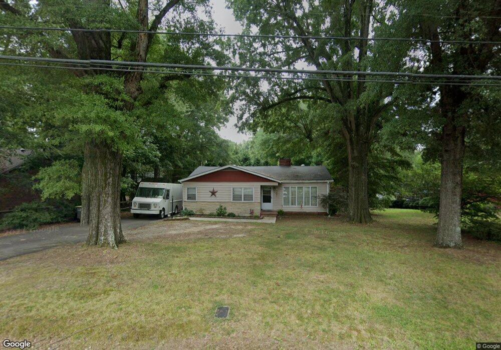
409 Walker St Kannapolis, NC 28081
Estimated Value: $224,000 - $239,000
3
Beds
1
Bath
1,190
Sq Ft
$194/Sq Ft
Est. Value
About This Home
This home is located at 409 Walker St, Kannapolis, NC 28081 and is currently estimated at $231,173, approximately $194 per square foot. 409 Walker St is a home located in Cabarrus County with nearby schools including Shady Brook Elementary School, Kannapolis Middle, and A.L. Brown High School.
Ownership History
Date
Name
Owned For
Owner Type
Purchase Details
Closed on
Oct 9, 2007
Sold by
Childress Barry G and Childress Donna C
Bought by
Cox Daniel Lee
Current Estimated Value
Home Financials for this Owner
Home Financials are based on the most recent Mortgage that was taken out on this home.
Original Mortgage
$108,000
Outstanding Balance
$68,128
Interest Rate
6.41%
Mortgage Type
Purchase Money Mortgage
Estimated Equity
$163,045
Purchase Details
Closed on
Apr 1, 1995
Bought by
Childress Barry G
Purchase Details
Closed on
Apr 1, 1992
Purchase Details
Closed on
Aug 1, 1985
Create a Home Valuation Report for This Property
The Home Valuation Report is an in-depth analysis detailing your home's value as well as a comparison with similar homes in the area
Home Values in the Area
Average Home Value in this Area
Purchase History
| Date | Buyer | Sale Price | Title Company |
|---|---|---|---|
| Cox Daniel Lee | $108,000 | None Available | |
| Childress Barry G | $68,000 | -- | |
| -- | $57,000 | -- | |
| -- | $45,500 | -- |
Source: Public Records
Mortgage History
| Date | Status | Borrower | Loan Amount |
|---|---|---|---|
| Open | Cox Daniel Lee | $108,000 |
Source: Public Records
Tax History
| Year | Tax Paid | Tax Assessment Tax Assessment Total Assessment is a certain percentage of the fair market value that is determined by local assessors to be the total taxable value of land and additions on the property. | Land | Improvement |
|---|---|---|---|---|
| 2025 | $2,321 | $204,410 | $53,000 | $151,410 |
| 2024 | $2,321 | $204,410 | $53,000 | $151,410 |
| 2023 | $1,650 | $120,430 | $32,000 | $88,430 |
| 2022 | $1,650 | $120,430 | $32,000 | $88,430 |
| 2021 | $1,650 | $120,430 | $32,000 | $88,430 |
| 2020 | $1,650 | $120,430 | $32,000 | $88,430 |
| 2019 | $1,268 | $92,570 | $19,000 | $73,570 |
| 2018 | $1,250 | $92,570 | $19,000 | $73,570 |
| 2017 | $1,231 | $92,570 | $19,000 | $73,570 |
| 2016 | $1,231 | $92,720 | $20,000 | $72,720 |
| 2015 | $1,168 | $92,720 | $20,000 | $72,720 |
| 2014 | $1,168 | $92,720 | $20,000 | $72,720 |
Source: Public Records
Map
Nearby Homes
- 845 Richard Ave
- 829 Richard Ave
- 512 Murphy St
- 1004 Oakwood Ave
- 304 Lowrance Ave
- 503 Rogers Lake Rd
- 1004 S Ridge Ave
- 125 Lowrance Ave
- 841 Murphy St
- 303 Rogers Lake Rd
- 616 Barlow Ave
- 807 Klondale Ave
- 600 Bethpage Rd
- 602 Bethpage Rd
- 825 Margate Ave
- 707 Oakshade Ave
- 316 Prince St
- 917 Bethpage Rd
- 315 Pineview St
- 815 Desoto Ave
Your Personal Tour Guide
Ask me questions while you tour the home.