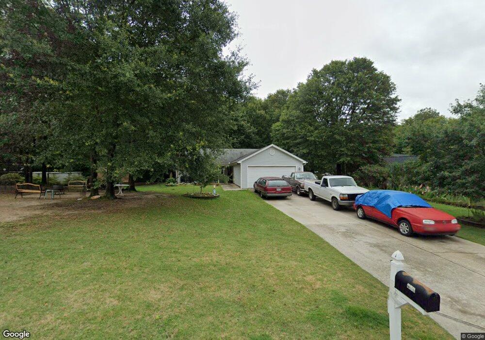
409 Wilshire Ln Unit 2 Bethlehem, GA 30620
Estimated Value: $260,000 - $322,000
3
Beds
2
Baths
1,287
Sq Ft
$228/Sq Ft
Est. Value
About This Home
This home is located at 409 Wilshire Ln Unit 2, Bethlehem, GA 30620 and is currently estimated at $293,889, approximately $228 per square foot. 409 Wilshire Ln Unit 2 is a home located in Barrow County with nearby schools including Bethlehem Elementary School, Haymon-Morris Middle School, and Apalachee High School.
Ownership History
Date
Name
Owned For
Owner Type
Purchase Details
Closed on
Jul 19, 2021
Sold by
Shireman Darlene Marie
Bought by
Shireman James Ross
Current Estimated Value
Purchase Details
Closed on
Jul 1, 2005
Sold by
Southfork Hms Inc
Bought by
Shireman Darlene M
Home Financials for this Owner
Home Financials are based on the most recent Mortgage that was taken out on this home.
Original Mortgage
$118,170
Interest Rate
5.57%
Mortgage Type
VA
Purchase Details
Closed on
Mar 21, 2005
Sold by
Sun King Ventures Llc
Bought by
Southfork Homes Inc
Purchase Details
Closed on
Jun 14, 2004
Bought by
Sun King Ventures Llc
Create a Home Valuation Report for This Property
The Home Valuation Report is an in-depth analysis detailing your home's value as well as a comparison with similar homes in the area
Home Values in the Area
Average Home Value in this Area
Purchase History
| Date | Buyer | Sale Price | Title Company |
|---|---|---|---|
| Shireman James Ross | -- | -- | |
| Shireman Darlene M | $119,500 | -- | |
| Southfork Homes Inc | $35,000 | -- | |
| Sun King Ventures Llc | -- | -- |
Source: Public Records
Mortgage History
| Date | Status | Borrower | Loan Amount |
|---|---|---|---|
| Previous Owner | Shireman Darlene M | $118,170 |
Source: Public Records
Tax History
| Year | Tax Paid | Tax Assessment Tax Assessment Total Assessment is a certain percentage of the fair market value that is determined by local assessors to be the total taxable value of land and additions on the property. | Land | Improvement |
|---|---|---|---|---|
| 2025 | $991 | $96,257 | $24,000 | $72,257 |
| 2024 | $975 | $94,135 | $24,000 | $70,135 |
| 2023 | $538 | $83,975 | $13,440 | $70,535 |
| 2022 | $545 | $62,856 | $13,440 | $49,416 |
| 2021 | $1,806 | $62,856 | $13,440 | $49,416 |
| 2020 | $1,808 | $62,856 | $13,440 | $49,416 |
| 2019 | $1,669 | $57,236 | $11,200 | $46,036 |
| 2018 | $1,440 | $50,475 | $11,200 | $39,275 |
| 2017 | $1,192 | $40,940 | $9,200 | $31,740 |
| 2016 | $1,040 | $38,244 | $11,600 | $26,644 |
| 2015 | $1,054 | $38,533 | $11,600 | $26,933 |
| 2014 | $922 | $34,081 | $6,860 | $27,221 |
| 2013 | -- | $32,740 | $6,860 | $25,880 |
Source: Public Records
Map
Nearby Homes
- 825 Arch Tanner Rd
- 449 & 455 Carl-Bethlehem Rd
- 0 J B Owens Rd Unit CL348952
- 0 J B Owens Rd Unit 10690069
- 0 J B Owens Lot 2 09ac Rd
- 0 J B Owens Lot 3 2 01ac Rd
- 204 Lynn Rd
- 1188 Carl-Bethlehem Rd
- 812 Christmas Ave
- 13 Rowlett Place
- 14 Rowlett Place
- 0 Manger Ave E Unit 20154677
- 0 Manger Ave E Unit 20127001
- 784 Manger Ave
- 14 Smithwood Dr
- 449 Carl Bethlehem Rd SW
- 724 Manger Ave
- 236 Vision St
- 176 Market St
- 522 Harris Dr
- 407 Wilshire Ln
- 413 Wilshire Ln
- 410 Wilshire Ln
- 405 Wilshire Ln
- 405 Wilshire Ln Unit 2
- 408 Wilshire Ln
- 412 Wilshire Ln Unit 2
- 503 Zinfandel Dr Unit 2
- 403 Wilshire Ln
- 414 Wilshire Ln Unit 2
- 1016 Maggie Dr
- 504 Zinfandel Dr
- 1014 Maggie Dr
- 859 Brisco Mill Rd
- 417 Wilshire Ln
- 863 Brisco Mill Rd
- 1012 Maggie Dr
- 416 Wilshire Ln Unit 2
- 502 Zinfandel Dr Unit 8
- 502 Zinfandel Dr Unit 2
Your Personal Tour Guide
Ask me questions while you tour the home.