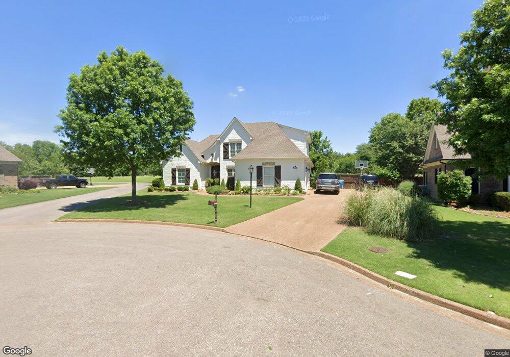
4090 Delbridge Ct N Olive Branch, MS 38654
Pleasant Hill NeighborhoodEstimated Value: $442,000 - $525,000
About This Home
This home is located at 4090 Delbridge Ct N, Olive Branch, MS 38654 and is currently estimated at $469,814, approximately $174 per square foot. 4090 Delbridge Ct N is a home located in DeSoto County with nearby schools including Pleasant Hill Elementary School, DeSoto Central Middle School, and DeSoto Central High School.
Ownership History
We collect this data history from publicly available records. To have your information removed, we recommend requesting removal directly through your county’s website.
Purchase Details
Home Financials for this Owner
Home Financials are based on the most recent Mortgage that was taken out on this home.Home Values in the Area
Average Home Value in this Area
Purchase History
We collect this data history from publicly available records. To have your information removed, we recommend requesting removal directly through your county’s website.
| Date | Buyer | Sale Price | Title Company |
|---|---|---|---|
| -- | Realty Title |
Mortgage History
We collect this data history from publicly available records. To have your information removed, we recommend requesting removal directly through your county’s website.
| Date | Status | Borrower | Loan Amount |
|---|---|---|---|
| Open | $243,998 |
Tax History
We collect this data history from publicly available records. To have your information removed, we recommend requesting removal directly through your county’s website.
| Year | Tax Paid | Tax Assessment Tax Assessment Total Assessment is a certain percentage of the fair market value that is determined by local assessors to be the total taxable value of land and additions on the property. | Land | Improvement |
|---|---|---|---|---|
| 2025 | $3,775 | $35,191 | $4,600 | $30,591 |
| 2024 | $3,133 | $25,153 | $4,600 | $20,553 |
| 2023 | $3,133 | $25,153 | $0 | $0 |
| 2022 | $3,133 | $25,153 | $4,600 | $20,553 |
| 2021 | $3,133 | $25,153 | $4,600 | $20,553 |
| 2020 | $2,178 | $21,789 | $4,600 | $17,189 |
| 2019 | $2,178 | $21,789 | $4,600 | $17,189 |
| 2017 | $2,141 | $37,926 | $21,263 | $16,663 |
| 2016 | $2,290 | $22,744 | $4,600 | $18,144 |
| 2015 | $2,290 | $40,888 | $22,744 | $18,144 |
| 2014 | $1,990 | $22,744 | $0 | $0 |
| 2013 | $2,054 | $22,744 | $0 | $0 |
Map
- 4203 S Bolivar Trail
- 4823 Parish Row
- 5137 Meadow Pointe Dr
- 4183 Robinson Crossing
- 5345 E Pointe Dr
- 5294 Meadow Pointe Dr
- 4435 Parish Row
- 4426 Macon Cove
- 179 Hayes Cove
- 4342 Robinson Loop E
- 5089 Montavale S
- 5518 Bunyan Hill Dr
- 3381 Jacob Ln
- 4592 Spring Meadow Way N
- 3310 Forest Bend Dr
- 3247 Parkdale Cove
- 5537 Shiloh Ln
- 5805 S Manor Cove
- 5559 Shiloh Ln
- 5604 Shiloh Ln
- 4106 Delbridge Ct N
- 4106 Delbridge Ct W
- 4895 Delbridge Ct W
- 26 Delbridge Ct
- 4120 Delbridge Ct N
- 4875 Delbridge Ct W
- 4906 Malone Rd
- 4855 Delbridge Ct W
- 4140 Delbridge Ct N
- 4886 Malone Rd
- 4871 Delbridge Ct E
- 4852 Delbridge Ct W
- 4864 Malone Rd
- 4839 Delbridge Ct W
- 4830 Delbridge Ct W
- 4156 Delbridge Ct N
- 5263 Malone Rd
- 4884 Malone Rd
- 4853 Delbridge Ct E
- 4846 Malone Rd
Ask me questions while you tour the home.