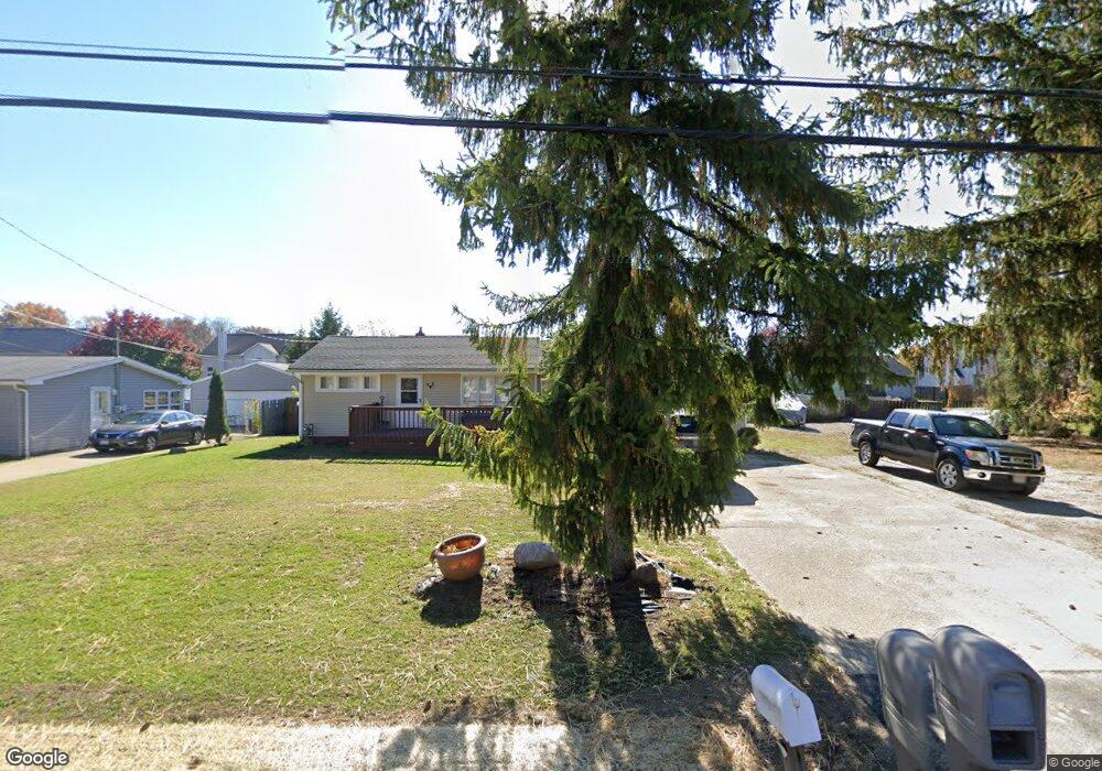
4090 Miner Dr Brunswick, OH 44212
Estimated Value: $223,407 - $236,000
3
Beds
1
Bath
1,138
Sq Ft
$203/Sq Ft
Est. Value
About This Home
This home is located at 4090 Miner Dr, Brunswick, OH 44212 and is currently estimated at $230,852, approximately $202 per square foot. 4090 Miner Dr is a home located in Medina County with nearby schools including C.R. Towslee Elementary School, Willets Middle School, and Brunswick High School.
Ownership History
Date
Name
Owned For
Owner Type
Purchase Details
Closed on
Nov 18, 2011
Sold by
Federal National Mortgage Association
Bought by
Gargarita Ion
Current Estimated Value
Purchase Details
Closed on
Nov 11, 2011
Sold by
Fannie Mae
Bought by
Gargarita Ion and Gargarita Octavia
Purchase Details
Closed on
Aug 31, 2011
Sold by
Deangelis John C and Deangelis Cynthia L
Bought by
Federal National Mortgage Association
Purchase Details
Closed on
Aug 26, 2011
Sold by
Deangelis John C and Deangelis Cynthia L
Bought by
Federal National Mortgage Association
Purchase Details
Closed on
Jun 7, 2001
Sold by
Tako Joseph J
Bought by
Deangelis John C and Deangelis Cynthia L
Home Financials for this Owner
Home Financials are based on the most recent Mortgage that was taken out on this home.
Original Mortgage
$14,000
Interest Rate
7.14%
Mortgage Type
Credit Line Revolving
Create a Home Valuation Report for This Property
The Home Valuation Report is an in-depth analysis detailing your home's value as well as a comparison with similar homes in the area
Home Values in the Area
Average Home Value in this Area
Purchase History
| Date | Buyer | Sale Price | Title Company |
|---|---|---|---|
| Gargarita Ion | $37,000 | -- | |
| Gargarita Ion | -- | -- | |
| Federal National Mortgage Association | $63,334 | -- | |
| Federal National Mortgage Association | $63,334 | -- | |
| Deangelis John C | $110,000 | Progressive Land Title |
Source: Public Records
Mortgage History
| Date | Status | Borrower | Loan Amount |
|---|---|---|---|
| Previous Owner | Deangelis John C | $104,500 |
Source: Public Records
Tax History Compared to Growth
Tax History
| Year | Tax Paid | Tax Assessment Tax Assessment Total Assessment is a certain percentage of the fair market value that is determined by local assessors to be the total taxable value of land and additions on the property. | Land | Improvement |
|---|---|---|---|---|
| 2024 | $2,727 | $53,960 | $23,480 | $30,480 |
| 2023 | $2,727 | $53,960 | $23,480 | $30,480 |
| 2022 | $3,185 | $53,960 | $23,480 | $30,480 |
| 2021 | $2,414 | $42,820 | $18,630 | $24,190 |
| 2020 | $2,397 | $42,820 | $18,630 | $24,190 |
| 2019 | $2,062 | $42,820 | $18,630 | $24,190 |
| 2018 | $1,978 | $36,180 | $7,610 | $28,570 |
| 2017 | $1,841 | $36,180 | $7,610 | $28,570 |
| 2016 | $1,842 | $36,180 | $7,610 | $28,570 |
| 2015 | $1,993 | $33,500 | $7,050 | $26,450 |
| 2014 | $1,978 | $33,500 | $7,050 | $26,450 |
| 2013 | $1,805 | $33,500 | $7,050 | $26,450 |
Source: Public Records
Map
Nearby Homes
- 3976 Buckingham Dr
- 3991 Buckingham Dr
- 4203 Regal Ave
- 1200 Queens Ave Unit 31
- 4347 Oak Ridge Trail
- 4351 Oak Ridge Trail
- 4355 Oak Ridge Trail
- 4339 Oak Ridge Trail
- 858 Quinebaug Ct
- 4259 Pelham Way
- 1044-1070 Pearl Rd
- 4224 Maiden Ct
- 1291 Jester Ct Unit B253
- 4431 Oak Ridge Trail
- 4332 Oak Ridge Trail
- 4340 Oak Ridge Trail
- 4349 Inner Circle Dr Unit A-5
- 0 Center Rd Unit 4467135
- 4383 Inner Circle Dr Unit C24
- 4383 Inner Circle Dr Unit A24