4090 Poole Rd Cincinnati, OH 45251
Northgate NeighborhoodEstimated Value: $335,000 - $367,668
3
Beds
3
Baths
2,276
Sq Ft
$153/Sq Ft
Est. Value
About This Home
This home is located at 4090 Poole Rd, Cincinnati, OH 45251 and is currently estimated at $348,417, approximately $153 per square foot. 4090 Poole Rd is a home located in Hamilton County with nearby schools including Colerain Elementary School, Colerain Middle School, and Colerain High School.
Ownership History
Date
Name
Owned For
Owner Type
Purchase Details
Closed on
Sep 7, 2000
Sold by
Martini Paul W and Martini Felicita
Bought by
Benz Gary B and Benz Tonya R
Current Estimated Value
Home Financials for this Owner
Home Financials are based on the most recent Mortgage that was taken out on this home.
Original Mortgage
$156,750
Interest Rate
8.14%
Create a Home Valuation Report for This Property
The Home Valuation Report is an in-depth analysis detailing your home's value as well as a comparison with similar homes in the area
Home Values in the Area
Average Home Value in this Area
Purchase History
| Date | Buyer | Sale Price | Title Company |
|---|---|---|---|
| Benz Gary B | $165,000 | Ati Title Agency Of Ohio Inc |
Source: Public Records
Mortgage History
| Date | Status | Borrower | Loan Amount |
|---|---|---|---|
| Closed | Benz Gary B | $156,750 |
Source: Public Records
Tax History Compared to Growth
Tax History
| Year | Tax Paid | Tax Assessment Tax Assessment Total Assessment is a certain percentage of the fair market value that is determined by local assessors to be the total taxable value of land and additions on the property. | Land | Improvement |
|---|---|---|---|---|
| 2024 | $5,163 | $96,145 | $26,593 | $69,552 |
| 2023 | $5,186 | $96,145 | $26,593 | $69,552 |
| 2022 | $4,936 | $74,659 | $26,138 | $48,521 |
| 2021 | $4,902 | $74,659 | $26,138 | $48,521 |
| 2020 | $4,943 | $74,659 | $26,138 | $48,521 |
| 2019 | $4,493 | $63,270 | $22,152 | $41,118 |
| 2018 | $4,032 | $63,270 | $22,152 | $41,118 |
| 2017 | $3,825 | $63,270 | $22,152 | $41,118 |
| 2016 | $3,425 | $55,759 | $22,141 | $33,618 |
| 2015 | $3,453 | $55,759 | $22,141 | $33,618 |
| 2014 | $3,459 | $55,759 | $22,141 | $33,618 |
| 2013 | $3,465 | $58,696 | $23,307 | $35,389 |
Source: Public Records
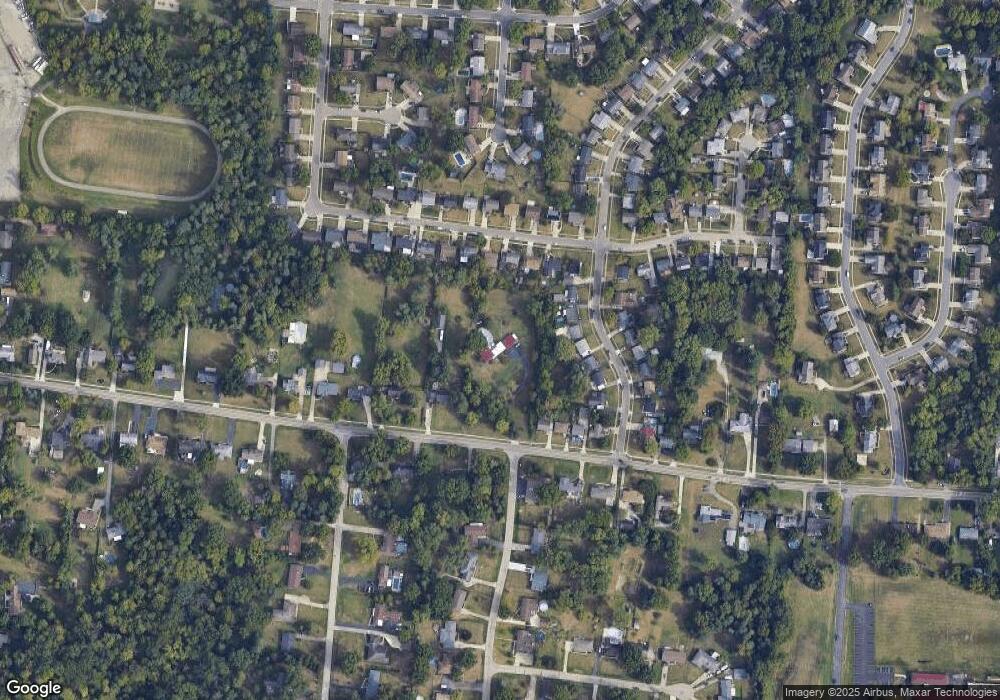
Map
Nearby Homes
- 3971 Woodsong Dr
- 3889 Brockton Dr
- 9160 Cobblechase Ct
- 3736 Vernier Dr
- 9340 Wilcox Dr
- 0 Springdale Rd Unit 1850271
- 8747 Cheviot Rd
- 8530 Wuest Rd
- 9125 Round Top Rd
- 8812 Carrousel Park Cir
- 9126 Round Top Rd
- 4893 Blue Meadow Ln
- 3776 Sagebrush Ln
- 3474 Oakmeadow Ln
- 3724 Yellowstone Dr
- 3364 Amberway Ct Unit 45
- 3663 Sandralin Dr
- 3464 Sunbury Ln
- 9446 Haddington Ct
- 9528 Haddington Ct
- 3968 Woodsong Dr
- 3962 Woodsong Dr
- 3974 Woodsong Dr
- 4032 Poole Rd
- 3956 Woodsong Dr
- 4018 Poole Rd
- 3980 Woodsong Dr
- 3950 Woodsong Dr
- 4075 Eddystone Dr
- 4053 Eddystone Dr
- 4000 Poole Rd
- 3986 Woodsong Dr
- 4095 Eddystone Dr
- 4031 Eddystone Dr
- 4117 Eddystone Dr
- 4180 Poole Rd
- 3944 Woodsong Dr
- 3992 Woodsong Dr
- 4139 Eddystone Dr
- 4115 Poole Rd