4090 W Townsend Rd Saint Johns, MI 48879
Estimated Value: $334,537 - $373,000
3
Beds
2
Baths
1,218
Sq Ft
$293/Sq Ft
Est. Value
About This Home
This home is located at 4090 W Townsend Rd, Saint Johns, MI 48879 and is currently estimated at $356,884, approximately $293 per square foot. 4090 W Townsend Rd is a home located in Clinton County with nearby schools including St. Johns High School and St Joseph Catholic School.
Ownership History
Date
Name
Owned For
Owner Type
Purchase Details
Closed on
Jun 28, 2007
Sold by
Horton Barbara Ann
Bought by
Horton Barbara Ann and Barbara Ann Horton Revocable Trust
Current Estimated Value
Purchase Details
Closed on
Apr 4, 2006
Sold by
Horton Barbara Ann
Bought by
The Barbara Ann Horton Revocable Trust
Purchase Details
Closed on
Jul 23, 2004
Sold by
Arnoldi Joan M
Bought by
Horton Barbara A
Home Financials for this Owner
Home Financials are based on the most recent Mortgage that was taken out on this home.
Original Mortgage
$100,000
Outstanding Balance
$50,611
Interest Rate
6.42%
Mortgage Type
Purchase Money Mortgage
Estimated Equity
$306,273
Create a Home Valuation Report for This Property
The Home Valuation Report is an in-depth analysis detailing your home's value as well as a comparison with similar homes in the area
Home Values in the Area
Average Home Value in this Area
Purchase History
| Date | Buyer | Sale Price | Title Company |
|---|---|---|---|
| Horton Barbara Ann | -- | None Available | |
| The Barbara Ann Horton Revocable Trust | -- | None Available | |
| Horton Barbara A | $220,000 | -- |
Source: Public Records
Mortgage History
| Date | Status | Borrower | Loan Amount |
|---|---|---|---|
| Open | Horton Barbara A | $100,000 |
Source: Public Records
Tax History Compared to Growth
Tax History
| Year | Tax Paid | Tax Assessment Tax Assessment Total Assessment is a certain percentage of the fair market value that is determined by local assessors to be the total taxable value of land and additions on the property. | Land | Improvement |
|---|---|---|---|---|
| 2025 | -- | $148,900 | $38,700 | $110,200 |
| 2024 | $2,476 | $133,300 | $36,100 | $97,200 |
| 2023 | $2,476 | $123,000 | $0 | $0 |
| 2022 | $2,476 | $114,900 | $35,000 | $79,900 |
| 2021 | $2,476 | $100,900 | $29,900 | $71,000 |
| 2020 | $2,476 | $92,900 | $31,900 | $61,000 |
| 2019 | $957 | $83,900 | $26,300 | $57,600 |
| 2018 | $2,362 | $85,900 | $26,300 | $59,600 |
| 2017 | -- | $90,800 | $25,900 | $64,900 |
| 2016 | -- | $86,000 | $19,300 | $66,700 |
| 2015 | -- | $81,400 | $0 | $0 |
| 2011 | -- | $80,000 | $0 | $0 |
Source: Public Records
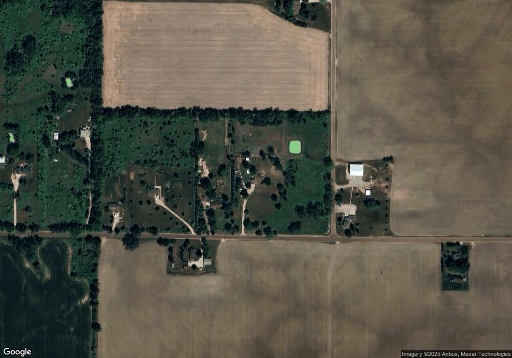
Map
Nearby Homes
- 812 W Park St
- 2403 W Gallant Fox Way
- 2386 W Gallant Fox Way
- 812 W Cass St
- 3445 W County Line Rd
- The Claire Plan at Fieldstone Village
- The Lilly Plan at Fieldstone Village
- 2353 Winners Cir
- 800 W State St
- 2239 Secretariat Ln
- 306 S Emmons St
- 2320 Secretariat Ln
- 1005 S Lansing St
- 1519 S Lansing St
- 210 Hurd St
- 6089 S Loomis Rd
- 511 S Church St
- 608 N Morton St
- 111 N Ottawa St
- 1105 S Wight St
- 4108 W Townsend Rd
- 4117 W Townsend Rd
- 4150 W Townsend Rd
- 3938 W Townsend Rd
- 4220 W Townsend Rd
- 4230 W Townsend Rd
- 1726 S Airport Rd
- 3815 W Townsend Rd
- 4310 W Townsend Rd
- 1670 S Airport Rd
- 4400 W Townsend Rd
- 4400 W Townsend Rd
- 3647 W Townsend Rd
- 4484 W Townsend Rd
- 1452 S Airport Rd
- 4540 W Townsend Rd
- 4552 W Townsend Rd
- 4596 W Townsend Rd
- 1348 S Airport Rd
- 4676 W Townsend Rd