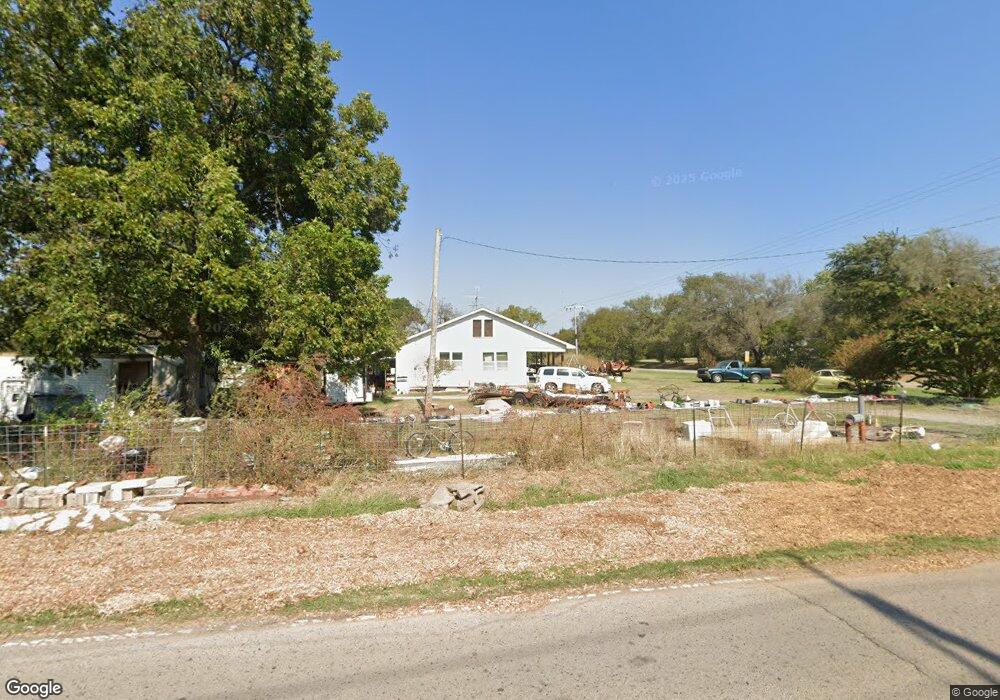
40908 Benson Park Rd Shawnee, OK 74801
Estimated Value: $141,749 - $202,000
3
Beds
2
Baths
1,216
Sq Ft
$142/Sq Ft
Est. Value
About This Home
This home is located at 40908 Benson Park Rd, Shawnee, OK 74801 and is currently estimated at $172,937, approximately $142 per square foot. 40908 Benson Park Rd is a home located in Pottawatomie County with nearby schools including Jefferson Elementary School, Shawnee Middle School, and Shawnee High School.
Ownership History
Date
Name
Owned For
Owner Type
Purchase Details
Closed on
Feb 29, 2008
Sold by
Johnson Arley E
Bought by
Mehagan Paul
Current Estimated Value
Home Financials for this Owner
Home Financials are based on the most recent Mortgage that was taken out on this home.
Original Mortgage
$59,583
Outstanding Balance
$10,519
Interest Rate
5.68%
Mortgage Type
Purchase Money Mortgage
Estimated Equity
$162,418
Purchase Details
Closed on
Dec 10, 2007
Sold by
Johnson Arley E and Sanders Jean Ann
Bought by
Johnson Arley E
Purchase Details
Closed on
Aug 10, 2007
Sold by
Johnson Arley E
Bought by
Johnson Arley E and Sanders Jean Ann
Create a Home Valuation Report for This Property
The Home Valuation Report is an in-depth analysis detailing your home's value as well as a comparison with similar homes in the area
Home Values in the Area
Average Home Value in this Area
Purchase History
| Date | Buyer | Sale Price | Title Company |
|---|---|---|---|
| Mehagan Paul | $100,000 | None Available | |
| Johnson Arley E | -- | None Available | |
| Johnson Arley E | -- | None Available |
Source: Public Records
Mortgage History
| Date | Status | Borrower | Loan Amount |
|---|---|---|---|
| Open | Mehagan Paul | $59,583 |
Source: Public Records
Tax History Compared to Growth
Tax History
| Year | Tax Paid | Tax Assessment Tax Assessment Total Assessment is a certain percentage of the fair market value that is determined by local assessors to be the total taxable value of land and additions on the property. | Land | Improvement |
|---|---|---|---|---|
| 2025 | $503 | $6,884 | $4,758 | $2,126 |
| 2024 | $510 | $6,883 | $2,437 | $4,446 |
| 2023 | $510 | $6,883 | $2,437 | $4,446 |
| 2022 | $501 | $6,883 | $2,437 | $4,446 |
| 2021 | $492 | $6,883 | $2,437 | $4,446 |
| 2020 | $493 | $6,884 | $2,608 | $4,276 |
| 2019 | $510 | $6,884 | $2,608 | $4,276 |
| 2018 | $500 | $6,884 | $2,608 | $4,276 |
| 2017 | $493 | $6,884 | $2,608 | $4,276 |
| 2016 | $498 | $6,884 | $2,608 | $4,276 |
| 2015 | $589 | $6,884 | $2,608 | $4,276 |
| 2014 | $583 | $6,829 | $2,608 | $4,221 |
Source: Public Records
Map
Nearby Homes
- 000 Gordon Cooper Dr
- 19402 Rangeline Rd
- 0 Rd Unit 1180426
- 19910 Gordon Cooper Dr
- 19901 Prairieview Rd
- 19903 Prairieview Rd
- 19705 Harrison Rd
- 1100 Foggy Bottom Rd
- 1011 N Rangeline St
- 42601 Stout Dr
- 806 Myrtle Dr
- 803 N Sharon St
- 714 Kimberly Rd
- 0 N Rangeline St
- 212 E Beech St
- 608 N 1st St
- 42608 Bob Crouch Rd
- 00 Gordon Cooper 12 56 Acres Dr
- 19708 Persimmon Ln
- 19301 Sharon Rd
- 41000 Benson Park Rd
- 18904 Rangeline
- 41002 Benson Park Rd
- 41001 Benson Park Rd
- 18902 Rangeline
- 41003 Benson Park Rd
- 19004 Rangeline
- 41008 Benson Park Rd
- 18808 Rangeline
- 18901 Rangeline
- 19006 Rangeline
- 19008 Rangeline
- 0 Rangeline & 67th St Unit 21108043
- 18720 Rangeline
- 19104 Rangeline
- 19206 Gordon Cooper Dr
- 19002 Gordon Cooper Dr
- 19114 S Gordon Cooper Dr
- 19204 Gordon Cooper Dr
- 40705 Benson Park Rd