4091 Marks Ave Rootstown, OH 44272
Estimated Value: $191,640 - $229,000
2
Beds
1
Bath
1,218
Sq Ft
$176/Sq Ft
Est. Value
About This Home
This home is located at 4091 Marks Ave, Rootstown, OH 44272 and is currently estimated at $214,660, approximately $176 per square foot. 4091 Marks Ave is a home located in Portage County with nearby schools including Rootstown Middle School - Schnee Building and Rootstown High School.
Ownership History
Date
Name
Owned For
Owner Type
Purchase Details
Closed on
Feb 13, 2007
Sold by
Schelat Scott J and Schelat Janice L
Bought by
Roshon Randolph and Roshon Shannon
Current Estimated Value
Home Financials for this Owner
Home Financials are based on the most recent Mortgage that was taken out on this home.
Original Mortgage
$137,414
Outstanding Balance
$82,807
Interest Rate
6.27%
Mortgage Type
FHA
Estimated Equity
$131,853
Purchase Details
Closed on
Jan 1, 1990
Bought by
Schelat Scott J
Create a Home Valuation Report for This Property
The Home Valuation Report is an in-depth analysis detailing your home's value as well as a comparison with similar homes in the area
Purchase History
| Date | Buyer | Sale Price | Title Company |
|---|---|---|---|
| Roshon Randolph | $138,500 | Franklin Mills Title | |
| Schelat Scott J | -- | -- |
Source: Public Records
Mortgage History
| Date | Status | Borrower | Loan Amount |
|---|---|---|---|
| Open | Roshon Randolph | $137,414 |
Source: Public Records
Tax History
| Year | Tax Paid | Tax Assessment Tax Assessment Total Assessment is a certain percentage of the fair market value that is determined by local assessors to be the total taxable value of land and additions on the property. | Land | Improvement |
|---|---|---|---|---|
| 2024 | $2,277 | $53,070 | $8,370 | $44,700 |
| 2023 | $1,902 | $41,830 | $7,350 | $34,480 |
| 2022 | $1,876 | $41,830 | $7,350 | $34,480 |
| 2021 | $2,152 | $41,830 | $7,350 | $34,480 |
| 2020 | $2,002 | $36,230 | $7,000 | $29,230 |
| 2019 | $2,141 | $36,230 | $7,000 | $29,230 |
| 2018 | $1,913 | $33,400 | $9,980 | $23,420 |
| 2017 | $1,913 | $33,400 | $9,980 | $23,420 |
| 2016 | $1,773 | $33,400 | $9,980 | $23,420 |
| 2015 | $1,624 | $33,400 | $9,980 | $23,420 |
| 2014 | $1,655 | $33,400 | $9,980 | $23,420 |
| 2013 | $1,643 | $33,400 | $9,980 | $23,420 |
Source: Public Records
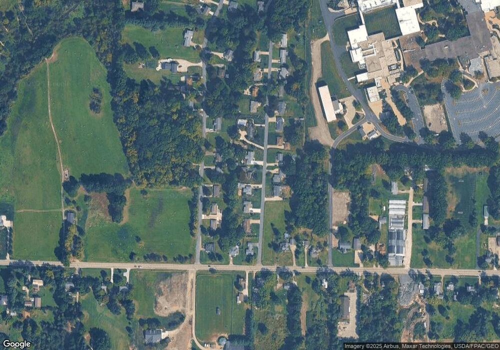
Map
Nearby Homes
- V/L 2 Lynn Rd
- V/L Lynn Rd
- 3689 Cherry Hill
- 0 Lynn Rd Unit 5110102
- 4415 Farmette Dr
- sub lot Lane Ave
- 4691 Scenic Dr
- 0 New Milford Rd Unit 11489599
- 0 New Milford Rd Unit 5108183
- 4225 Hattrick Rd
- 4140 Sandy Lake Rd
- 3637 Old Forge Rd
- 4058 Bayberry Knoll Ln
- 3136 Bird Dr
- 3021 Hartville Rd
- 3925 Summit Rd
- 694 Summit Rd
- 5403 Winding Creek Dr
- 1042 Canterbury Way Dr
- 1838 Sandy Lake Rd
- 4101 Marks Ave
- 4081 Marks Ave
- 4305 Marks Ave
- 4071 Marks Ave
- 4295 Marks Ave
- 4090 Marks Ave
- 4315 Marks Ave
- 4100 Marks Ave
- 4080 Marks Ave
- 4111 Marks Ave
- 4061 Marks Ave
- 4110 Marks Ave
- 4304 Marks Ave
- 4275 Marks Ave
- 4120 Marks Ave
- 4131 Marks Ave
- 4306 Marks Ave
- 4001 Tallmadge Rd
- 4130 Marks Ave
- 4021 Tallmadge Rd