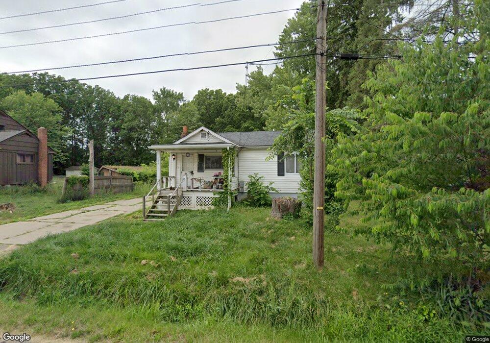
4091 Reiss Rd Rootstown, OH 44272
Estimated Value: $113,295 - $221,000
2
Beds
1
Bath
720
Sq Ft
$210/Sq Ft
Est. Value
About This Home
This home is located at 4091 Reiss Rd, Rootstown, OH 44272 and is currently estimated at $151,074, approximately $209 per square foot. 4091 Reiss Rd is a home located in Portage County with nearby schools including Rootstown Middle School - Schnee Building and Rootstown High School.
Ownership History
Date
Name
Owned For
Owner Type
Purchase Details
Closed on
Oct 25, 2025
Sold by
Cieplinski David S and Cieplinski Tami J
Bought by
Cieplinski Tami J
Current Estimated Value
Purchase Details
Closed on
Feb 28, 2000
Sold by
Cieplinski Tami J
Bought by
Cieplinski David S and Cieplinski Tami J
Home Financials for this Owner
Home Financials are based on the most recent Mortgage that was taken out on this home.
Original Mortgage
$72,800
Interest Rate
7.91%
Create a Home Valuation Report for This Property
The Home Valuation Report is an in-depth analysis detailing your home's value as well as a comparison with similar homes in the area
Home Values in the Area
Average Home Value in this Area
Purchase History
| Date | Buyer | Sale Price | Title Company |
|---|---|---|---|
| Cieplinski Tami J | -- | None Listed On Document | |
| Cieplinski David S | -- | Montgomery Home Title Agency |
Source: Public Records
Mortgage History
| Date | Status | Borrower | Loan Amount |
|---|---|---|---|
| Previous Owner | Cieplinski David S | $72,800 |
Source: Public Records
Tax History Compared to Growth
Tax History
| Year | Tax Paid | Tax Assessment Tax Assessment Total Assessment is a certain percentage of the fair market value that is determined by local assessors to be the total taxable value of land and additions on the property. | Land | Improvement |
|---|---|---|---|---|
| 2024 | $1,405 | $33,120 | $7,110 | $26,010 |
| 2023 | $1,276 | $26,750 | $6,270 | $20,480 |
| 2022 | $1,252 | $26,750 | $6,270 | $20,480 |
| 2021 | $1,242 | $26,750 | $6,270 | $20,480 |
| 2020 | $1,126 | $23,310 | $5,950 | $17,360 |
| 2019 | $1,130 | $23,310 | $5,950 | $17,360 |
| 2018 | $1,238 | $24,300 | $6,340 | $17,960 |
| 2017 | $1,238 | $24,300 | $6,340 | $17,960 |
| 2016 | $1,204 | $24,300 | $6,340 | $17,960 |
| 2015 | $1,218 | $24,300 | $6,340 | $17,960 |
| 2014 | $1,240 | $24,300 | $6,340 | $17,960 |
| 2013 | $1,232 | $24,300 | $6,340 | $17,960 |
Source: Public Records
Map
Nearby Homes
- 3987 J A Vaughn Ave
- 0 New Milford Rd Unit 11489599
- 0 New Milford Rd Unit 5108183
- 0 Lynn Rd Unit 5110102
- 4326 Clover Dr
- 4691 Scenic Dr
- 4770 Valley Hills Dr
- sub lot Lane Ave
- V/L 2 Lynn Rd
- V/L Lynn Rd
- 0 Rootstown Rd Unit 5173350
- 5387 State Route 14
- 0 St Andrews Way Unit 5094250
- V/L St Andrews Way
- 5560 Wilkes Rd
- 3637 Old Forge Rd
- 5659 State Route 14
- 3021 Hartville Rd
- 4958 Bassett Rd
- 2547 Industry Rd