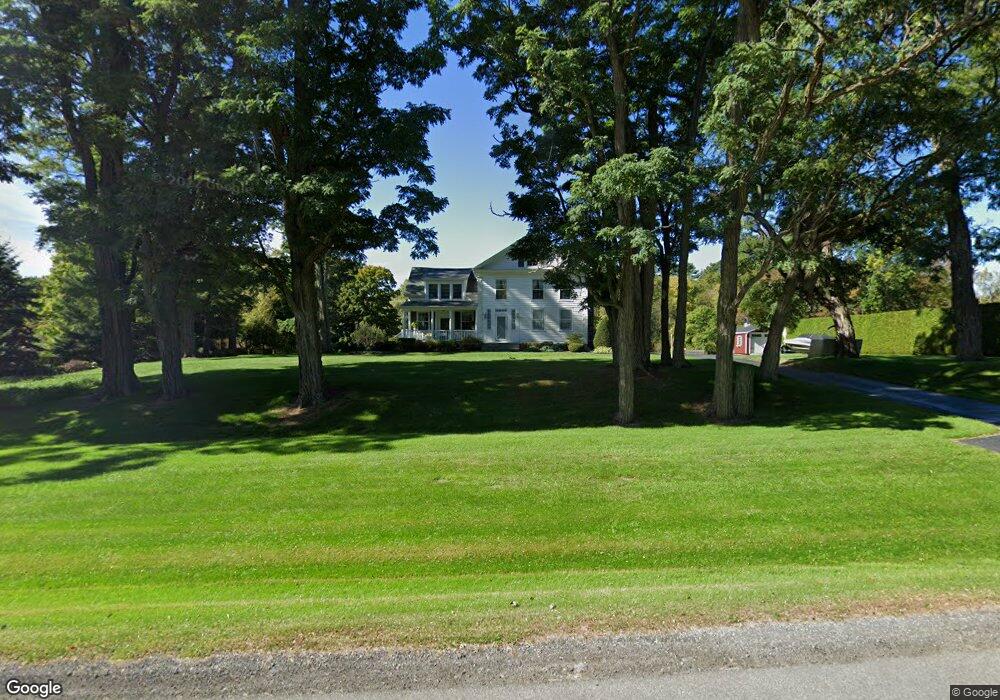
4091 State Route 9 Plattsburgh, NY 12901
Estimated Value: $561,000 - $660,268
5
Beds
3
Baths
3,825
Sq Ft
$162/Sq Ft
Est. Value
About This Home
This home is located at 4091 State Route 9, Plattsburgh, NY 12901 and is currently estimated at $620,089, approximately $162 per square foot. 4091 State Route 9 is a home located in Clinton County with nearby schools including Peru Elementary School, Peru Jr./Sr. High School, and Lakeshore Christian School.
Ownership History
Date
Name
Owned For
Owner Type
Purchase Details
Closed on
Dec 12, 2018
Sold by
Glenn David C
Bought by
Glenn David C and Glenn Lynne A
Current Estimated Value
Create a Home Valuation Report for This Property
The Home Valuation Report is an in-depth analysis detailing your home's value as well as a comparison with similar homes in the area
Home Values in the Area
Average Home Value in this Area
Purchase History
| Date | Buyer | Sale Price | Title Company |
|---|---|---|---|
| Glenn David C | -- | -- |
Source: Public Records
Tax History
| Year | Tax Paid | Tax Assessment Tax Assessment Total Assessment is a certain percentage of the fair market value that is determined by local assessors to be the total taxable value of land and additions on the property. | Land | Improvement |
|---|---|---|---|---|
| 2024 | $12,078 | $546,500 | $99,000 | $447,500 |
| 2023 | $11,974 | $440,000 | $73,800 | $366,200 |
| 2022 | $11,672 | $440,000 | $73,800 | $366,200 |
| 2021 | $12,338 | $440,000 | $73,800 | $366,200 |
| 2020 | $10,462 | $360,000 | $47,300 | $312,700 |
| 2019 | $10,128 | $360,000 | $47,300 | $312,700 |
| 2018 | $10,128 | $360,000 | $48,300 | $311,700 |
| 2017 | $10,240 | $360,000 | $48,300 | $311,700 |
| 2016 | $10,104 | $360,000 | $48,300 | $311,700 |
| 2015 | -- | $360,000 | $48,300 | $311,700 |
| 2014 | -- | $360,000 | $48,300 | $311,700 |
Source: Public Records
Map
Nearby Homes
- 3971 State Route 9
- 238 Lyons Rd
- 44 Bluff Point Dr
- 01 Bluff Point Dr
- 0 Windswept Ln
- 41 Bluff Point Dr
- 45 Bluff Point Dr
- 74 Bluff Point Dr
- 73 Bluff Point Dr
- 46 Bluff Point Dr
- 72 Bluff Point Dr
- 71 Bluff Point Dr
- 0 Bluff Point Dr Unit 178752
- 0 Bluff Point Dr Unit 178750
- 261 Lyons Rd
- 00 Wood Cliff Dr
- 382 S Junction Rd
- 03 Woodcliff Dr
- 24 Golf Course Rd
- 01 Woodcliff Dr
- 4083 U S 9
- 4083 State Route 9
- 4107 State Route 9
- 4079 State Route 9
- 4082 State Route 9
- 5 Old Dock Rd
- 4057 State Route 9
- 6 Old Dock Rd
- 4 S Junction Rd
- 10 Old Dock Rd
- 4113 State Route 9
- 17 Old Dock Rd
- 7 Witherill Dr
- 4123 U S 9
- 4120 State Route 9
- 21 Old Dock Rd
- 4123 State Route 9
- 5 Witherill Dr
- 39 Old Dock Rd
- 4131 State Route 9
Your Personal Tour Guide
Ask me questions while you tour the home.